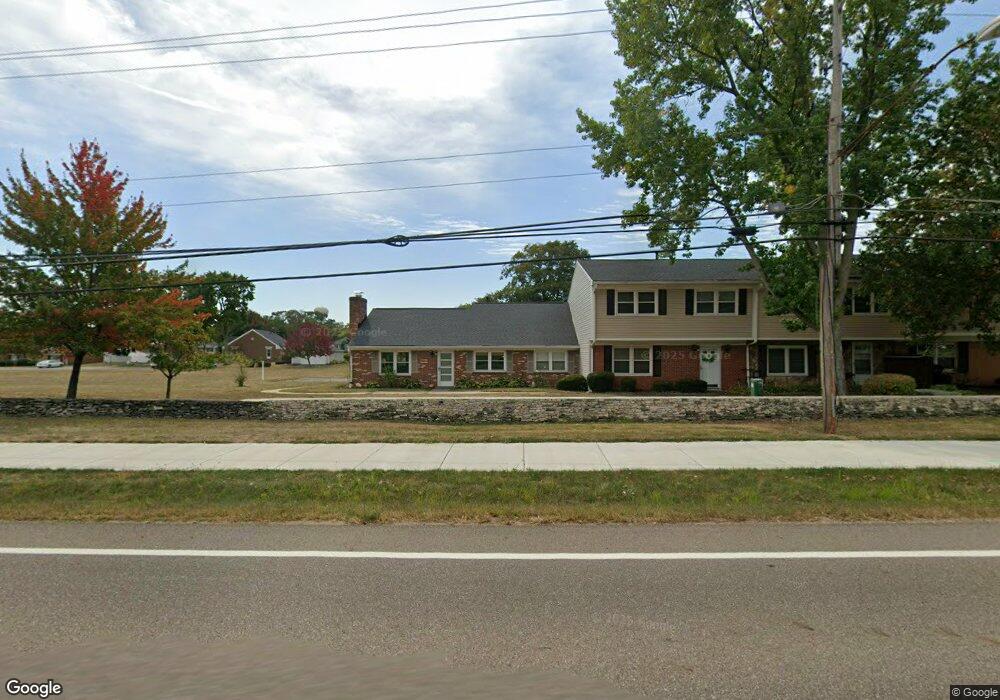
2095 Carlile Dr Uniontown, OH 44685
Estimated Value: $201,921 - $223,000
3
Beds
2
Baths
1,409
Sq Ft
$150/Sq Ft
Est. Value
About This Home
This home is located at 2095 Carlile Dr, Uniontown, OH 44685 and is currently estimated at $211,480, approximately $150 per square foot. 2095 Carlile Dr is a home located in Summit County with nearby schools including Greenwood Elementary School, Green Primary School, and Green Intermediate Elementary School.
Ownership History
Date
Name
Owned For
Owner Type
Purchase Details
Closed on
Sep 13, 2007
Sold by
Coss Chyrel L
Bought by
Miller Christy L
Current Estimated Value
Purchase Details
Closed on
Aug 27, 2002
Sold by
Coss Chyrel L Trustee
Bought by
Coss William R and Coss Chyrel L
Create a Home Valuation Report for This Property
The Home Valuation Report is an in-depth analysis detailing your home's value as well as a comparison with similar homes in the area
Home Values in the Area
Average Home Value in this Area
Purchase History
| Date | Buyer | Sale Price | Title Company |
|---|---|---|---|
| Miller Christy L | -- | Attorney | |
| Coss William R | -- | -- |
Source: Public Records
Tax History Compared to Growth
Tax History
| Year | Tax Paid | Tax Assessment Tax Assessment Total Assessment is a certain percentage of the fair market value that is determined by local assessors to be the total taxable value of land and additions on the property. | Land | Improvement |
|---|---|---|---|---|
| 2025 | $2,835 | $59,238 | $5,618 | $53,620 |
| 2024 | $2,835 | $59,238 | $5,618 | $53,620 |
| 2023 | $2,835 | $59,238 | $5,618 | $53,620 |
| 2022 | $2,163 | $40,299 | $3,822 | $36,477 |
| 2021 | $2,031 | $40,299 | $3,822 | $36,477 |
| 2020 | $1,993 | $40,300 | $3,820 | $36,480 |
| 2019 | $2,338 | $44,530 | $3,780 | $40,750 |
| 2018 | $2,388 | $44,530 | $4,220 | $40,310 |
| 2017 | $2,207 | $44,530 | $4,220 | $40,310 |
| 2016 | $2,197 | $38,560 | $4,220 | $34,340 |
| 2015 | $2,207 | $38,560 | $4,220 | $34,340 |
| 2014 | $2,193 | $38,560 | $4,220 | $34,340 |
| 2013 | $2,380 | $41,660 | $4,220 | $37,440 |
Source: Public Records
Map
Nearby Homes
- 2043 Carlile Dr Unit 109
- 2694 Cardington Green Unit 23A
- 3605 Elmhurst Cir
- 3609 Glenshire Cir Unit 55B
- 2111 Prestwick Dr Unit 3A
- 3495 Chadwick Dr
- 2186 Prestwick Dr
- 2185 Prestwick Dr
- 2189 E Park Dr
- 2511 Royal County Down
- 2535 Royal County Down Unit B
- 3314 Millwood Ln NW
- 2500 Marlborough Dr
- 1763 Fairway Dr
- 0 Raber Terrace
- Sarasota Plan at Spring Hill - Spring Hill Villas
- Chester Plan at Spring Hill - Spring Hill Villas
- Kenai Plan at Spring Hill - Spring Hill Villas
- Holston Plan at Spring Hill - Spring Hill Villas
- Bradbern Plan at Spring Hill - Spring Hill Villas
- 2091 Carlile Dr
- 2091 Carlile Dr Unit 131
- 2089 Carlile Dr
- 2092 Carlile Dr Unit 138
- 2096 Carlile Dr
- 2096 Carlile Dr Unit 139
- 2085 Carlile Dr Unit 128
- 2088 Carlile Dr Unit 136
- 2083 Carlile Dr Unit 127
- 2084 Carlile Dr Unit 135
- 2081 Carlile Dr
- 2090 Carlile Dr Unit 137
- 2080 Carlile Dr Unit 134
- 2076 Carlile Dr
- 2079 Carlile Dr
- 2079 Carlile Dr Unit 125
- 2077 Carlile Dr
- 2077 Carlile Dr Unit 124
- 2091 Beechtree Ln Unit 64
- 2081 Beechtree Ln