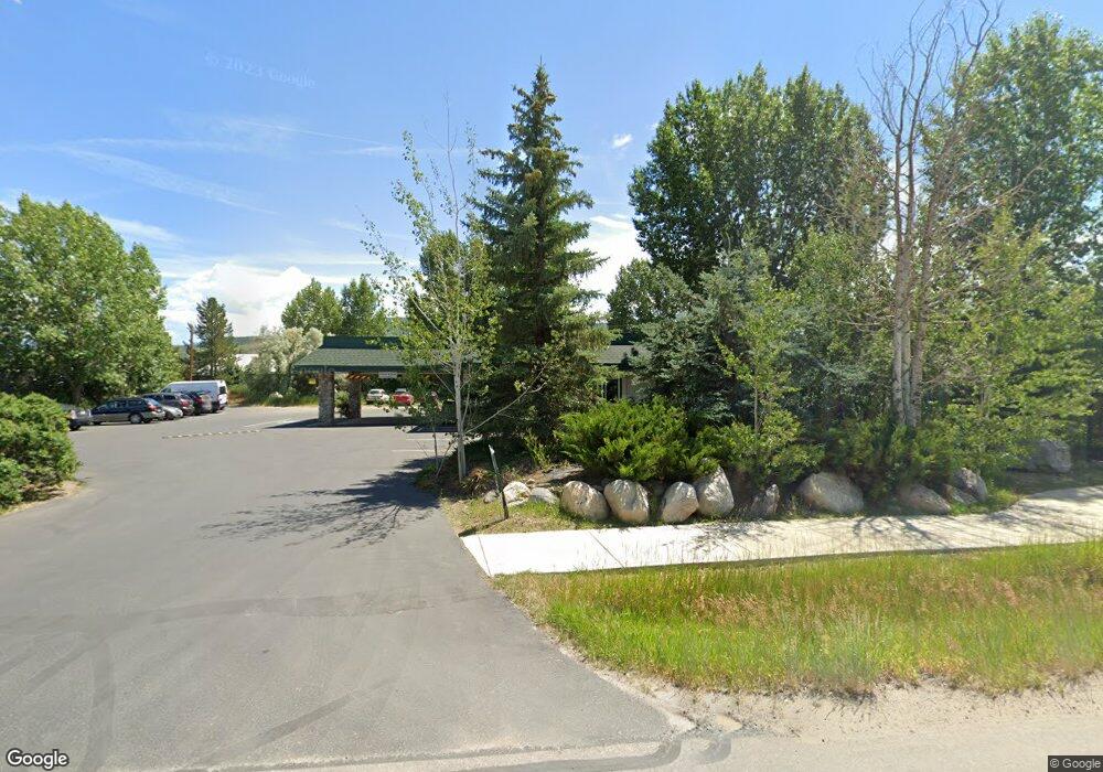
2095 Curve Ct Steamboat Springs, CO 80487
Estimated Value: $1,292,671
--
Bed
2
Baths
2,520
Sq Ft
$513/Sq Ft
Est. Value
About This Home
This home is located at 2095 Curve Ct, Steamboat Springs, CO 80487 and is currently estimated at $1,292,671, approximately $512 per square foot. 2095 Curve Ct is a home located in Routt County with nearby schools including Soda Creek Elementary School, Steamboat Springs Middle School, and Steamboat Springs High School.
Ownership History
Date
Name
Owned For
Owner Type
Purchase Details
Closed on
Apr 29, 2015
Sold by
Dawes Family Lllp
Bought by
Lift Up Of Routt County
Current Estimated Value
Home Financials for this Owner
Home Financials are based on the most recent Mortgage that was taken out on this home.
Original Mortgage
$450,000
Interest Rate
3.84%
Mortgage Type
Commercial
Purchase Details
Closed on
Jun 7, 2007
Sold by
Big Horn Investment Co Llc
Bought by
Dawes Family Lllp and Mflp Steamboat Llp
Purchase Details
Closed on
Oct 7, 2005
Sold by
Sessions Kevin
Bought by
Locke Jay Mitchel
Purchase Details
Closed on
Jan 24, 2005
Sold by
Sessions Kevin
Bought by
Big Horn Investment Company Llc
Purchase Details
Closed on
Jan 11, 2005
Sold by
Samson Richard J and Estate Of Michael John Peterso
Bought by
Sessions Kevin
Create a Home Valuation Report for This Property
The Home Valuation Report is an in-depth analysis detailing your home's value as well as a comparison with similar homes in the area
Home Values in the Area
Average Home Value in this Area
Purchase History
| Date | Buyer | Sale Price | Title Company |
|---|---|---|---|
| Lift Up Of Routt County | $650,000 | Title Company | |
| Dawes Family Lllp | $1,150,000 | None Available | |
| Locke Jay Mitchel | -- | None Available | |
| Big Horn Investment Company Llc | -- | None Available | |
| Sessions Kevin | -- | None Available |
Source: Public Records
Mortgage History
| Date | Status | Borrower | Loan Amount |
|---|---|---|---|
| Closed | Lift Up Of Routt County | $450,000 |
Source: Public Records
Tax History Compared to Growth
Tax History
| Year | Tax Paid | Tax Assessment Tax Assessment Total Assessment is a certain percentage of the fair market value that is determined by local assessors to be the total taxable value of land and additions on the property. | Land | Improvement |
|---|---|---|---|---|
| 2024 | -- | $0 | $0 | $0 |
| 2023 | $0 | $0 | $0 | $0 |
| 2022 | $0 | $0 | $0 | $0 |
| 2021 | $1,544 | $0 | $0 | $0 |
| 2020 | $1,544 | $0 | $0 | $0 |
| 2019 | $1,544 | $0 | $0 | $0 |
| 2018 | $0 | $0 | $0 | $0 |
| 2017 | $0 | $0 | $0 | $0 |
| 2016 | $1,544 | $33,950 | $19,130 | $14,820 |
| 2015 | $5,119 | $115,070 | $64,840 | $50,230 |
| 2014 | $6,688 | $143,800 | $74,820 | $68,980 |
| 2012 | -- | $156,490 | $118,710 | $37,780 |
Source: Public Records
Map
Nearby Homes
- 1883 Luna Ln Unit 3
- 1851 Luna Ln Unit 7
- 1891 Luna Ln Unit 2
- 1859 Luna Ln Unit 6
- 1899 Luna Ln Unit 1
- 1610 Conestoga Ln
- 2507 Riverside Dr Unit 201
- 1864 Lincoln Ave
- 1859 Sunlight Dr
- 2646 Riverside Dr Unit A
- 2045 Sunlight Dr
- 2035 Sunlight Dr
- 2065 Sunlight Dr
- 1959 Indian Trail
- TBD Conestoga Cir
- 1295 Conestoga Cir
- 2764 Iris Ln
- 2752 Honeysuckle Ln
- 1888 Indian Trail
- 1360 Indian Trail Unit 36
- TBD Shield Dr
- 1771 Shield Dr
- 2125 Curve Ct
- 1855 Shield Dr Unit 2
- 1522 Shield Dr
- 1522 Shield Dr Unit 5
- 1522 Shield Dr Unit 4
- 1522 Shield Dr Unit 7
- 1522 Shield Dr Unit 6
- 1522 Shield Dr Unit 1
- 2175 Curve Ct
- 1645 Shield Dr
- 1901 Curve Ct
- 1901 Curve Ct Unit 103
- 1901 Curve Ct Unit 101
- TH 7 Basecamp Row Unit TH 7
- 1901 Curve Plaza
- 1901 Curve Plaza Unit Ste. 4
- 1955 Curve Ct
- TH 4 Basecamp Row Unit TH 4