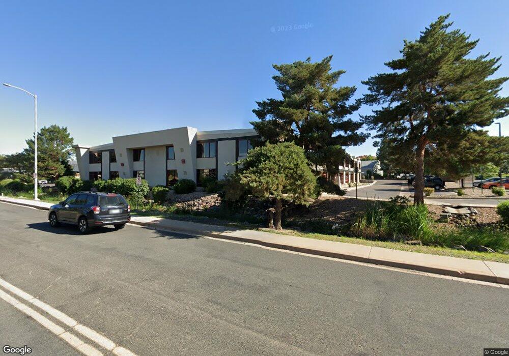
2095 W 6th Ave Broomfield, CO 80020
Studio
--
Bath
45,352
Sq Ft
120,923
Sq Ft Lot
About This Home
This home is located at 2095 W 6th Ave, Broomfield, CO 80020. 2095 W 6th Ave is a home located in Broomfield County with nearby schools including Broomfield Heights Middle School, Broomfield High School, and Jefferson Academy Secondary School.
Ownership History
Date
Name
Owned For
Owner Type
Purchase Details
Closed on
Aug 19, 2008
Sold by
Public Service Co Of Colorado
Bought by
Grandvaux Development Group Llc
Purchase Details
Closed on
Oct 25, 2007
Sold by
Llct Inc and Underwood Robert L
Bought by
Grandvaux Development Group Llc
Purchase Details
Closed on
Feb 9, 2007
Sold by
Underwood Robert L
Bought by
Llct Inc and Underwood Robert L
Purchase Details
Closed on
Nov 21, 2001
Sold by
Denk Jurgen R
Bought by
The Underwood Revocable Living Trust and Underwood Robert L
Purchase Details
Closed on
Nov 15, 2001
Sold by
Underwood Robert L
Bought by
Llct Inc and Underwood Robert L
Purchase Details
Closed on
Nov 14, 2001
Sold by
Underwood Robert L
Bought by
The Underwood Revocable Living Trust and Underwood Robert L
Create a Home Valuation Report for This Property
The Home Valuation Report is an in-depth analysis detailing your home's value as well as a comparison with similar homes in the area
Purchase History
| Date | Buyer | Sale Price | Title Company |
|---|---|---|---|
| Grandvaux Development Group Llc | -- | None Available | |
| Grandvaux Development Group Llc | $2,700,000 | None Available | |
| Llct Inc | -- | None Available | |
| The Underwood Revocable Living Trust | -- | -- | |
| Llct Inc | -- | None Available | |
| The Underwood Revocable Living Trust | -- | -- |
Source: Public Records
Tax History
| Year | Tax Paid | Tax Assessment Tax Assessment Total Assessment is a certain percentage of the fair market value that is determined by local assessors to be the total taxable value of land and additions on the property. | Land | Improvement |
|---|---|---|---|---|
| 2025 | $111,236 | $1,195,440 | $333,950 | $861,490 |
| 2024 | $111,236 | $1,187,070 | $267,970 | $919,100 |
| 2023 | $111,014 | $1,242,570 | $280,500 | $962,070 |
| 2022 | $114,407 | $1,183,410 | $210,380 | $973,030 |
| 2021 | $110,641 | $1,183,410 | $210,380 | $973,030 |
| 2020 | $111,326 | $1,183,400 | $192,840 | $990,560 |
| 2019 | $111,122 | $1,183,400 | $192,840 | $990,560 |
| 2018 | $105,006 | $1,129,610 | $140,250 | $989,360 |
| 2017 | $106,520 | $1,129,610 | $140,250 | $989,360 |
Source: Public Records
Map
Nearby Homes
- 1018 Depot Hill Rd
- 1151 Goldenrod Cir
- 2102 Ridge Dr
- 865 Nickel St
- 1109 Lilac St
- 2150 Ridge Dr
- 1130 Opal St Unit 104
- 740 Lotus Way
- 1156 Opal St Unit 102
- 2054 Sunridge Cir Unit 8
- 1166 Opal St Unit 104
- 3132 W 10th Avenue Place
- 1190 Opal St Unit 101
- 1190 Opal St Unit 104
- 1425 W 12th Ave
- 1480 W 1st Ave Unit 12
- 3174 W 11th Avenue Dr
- 870 Hemlock Way
- 3221 W 10th Avenue Place
- 265 Laurel St
- 720 Burbank St Unit 720
- 710 Burbank St
- 700 Burbank St Unit 700
- 770 Burbank St Unit 770
- 760 Burbank St Unit 760
- 750 Burbank St Unit 750
- 730 Burbank St Unit 730
- 740 Burbank St Unit 740
- 590 Burbank St Unit 200
- 780 Burbank St
- 2100 W 6th Ave
- 805 Burbank St
- 615 Alter St
- 899 Us Highway 287 Unit 6
- 899 Us Highway 287 Unit 3
- 899 Us Highway 287 Unit 1
- 899 Us Highway 287 Unit 5
- 899 Us Highway 287 Unit 4
- 2050 W 6th Ave
- 799 U S 287 Unit DEF
Your Personal Tour Guide
Ask me questions while you tour the home.