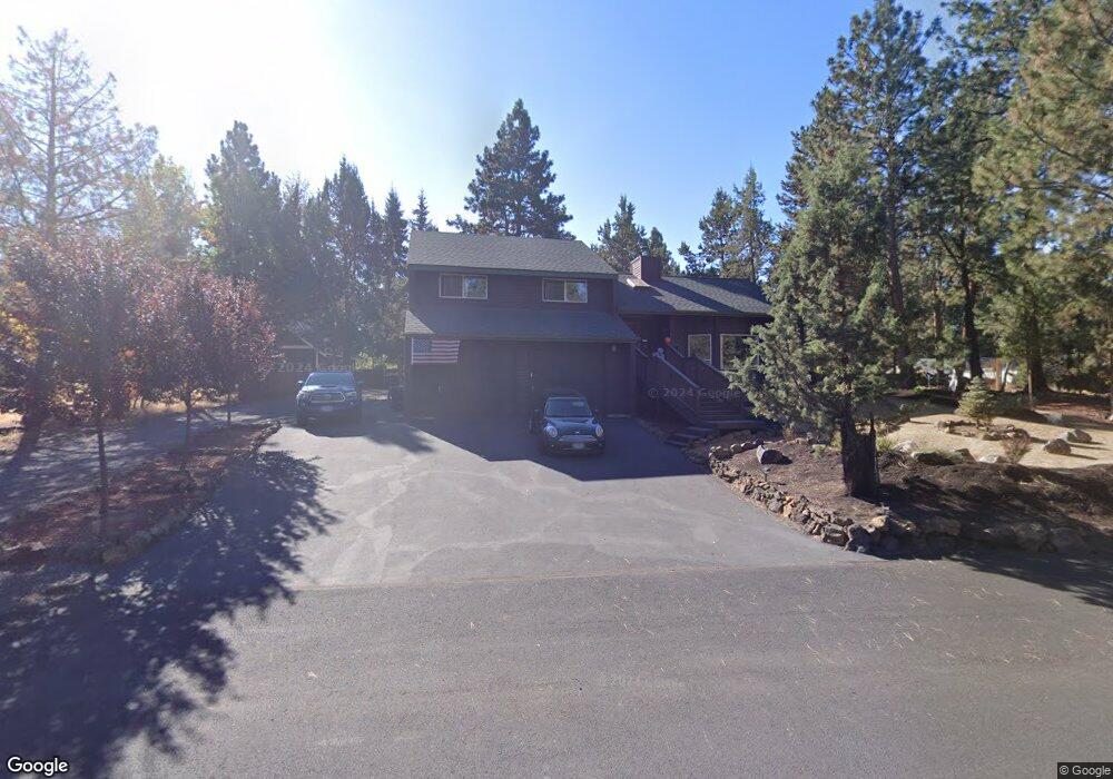
20951 King Hezekiah Way Bend, OR 97702
Old Farm District NeighborhoodEstimated Value: $765,721 - $852,000
3
Beds
2
Baths
1,958
Sq Ft
$408/Sq Ft
Est. Value
About This Home
This home is located at 20951 King Hezekiah Way, Bend, OR 97702 and is currently estimated at $798,180, approximately $407 per square foot. 20951 King Hezekiah Way is a home located in Deschutes County with nearby schools including Silver Rail Elementary School, High Desert Middle School, and Bend Senior High School.
Ownership History
Date
Name
Owned For
Owner Type
Purchase Details
Closed on
Apr 24, 2007
Sold by
Hardie Michael A and Hardie Carol L
Bought by
Groh Allen and Groh Sharon
Current Estimated Value
Home Financials for this Owner
Home Financials are based on the most recent Mortgage that was taken out on this home.
Original Mortgage
$300,000
Outstanding Balance
$180,090
Interest Rate
6.11%
Mortgage Type
Unknown
Estimated Equity
$618,090
Create a Home Valuation Report for This Property
The Home Valuation Report is an in-depth analysis detailing your home's value as well as a comparison with similar homes in the area
Home Values in the Area
Average Home Value in this Area
Purchase History
| Date | Buyer | Sale Price | Title Company |
|---|---|---|---|
| Groh Allen | $450,000 | Amerititle |
Source: Public Records
Mortgage History
| Date | Status | Borrower | Loan Amount |
|---|---|---|---|
| Open | Groh Allen | $300,000 |
Source: Public Records
Tax History Compared to Growth
Tax History
| Year | Tax Paid | Tax Assessment Tax Assessment Total Assessment is a certain percentage of the fair market value that is determined by local assessors to be the total taxable value of land and additions on the property. | Land | Improvement |
|---|---|---|---|---|
| 2025 | $4,670 | $276,370 | -- | -- |
| 2024 | $4,493 | $268,330 | -- | -- |
| 2023 | $4,165 | $260,520 | $0 | $0 |
| 2022 | $4,006 | $245,580 | $0 | $0 |
| 2021 | $3,892 | $238,430 | $0 | $0 |
| 2020 | $3,692 | $238,430 | $0 | $0 |
| 2019 | $3,589 | $231,490 | $0 | $0 |
| 2018 | $3,488 | $224,750 | $0 | $0 |
| 2017 | $3,386 | $218,210 | $0 | $0 |
| 2016 | $3,229 | $211,860 | $0 | $0 |
| 2015 | $3,139 | $205,690 | $0 | $0 |
| 2014 | $3,047 | $199,700 | $0 | $0 |
Source: Public Records
Map
Nearby Homes
- 20886 King David Ave
- 61245 Crescent Ct
- 20873 Greenmont Dr
- 61159 Ladera Rd
- 21062 Desert Woods Dr
- 20921 Sage Creek Dr
- 61160 Hilmer Creek Dr
- 61250 15th St
- 61197 Cottonwood Dr
- 20868 Tamar Ln
- 61376 Robin Hood Ln
- 61336 Mount Vista Dr
- 61520 SE Admiral Way
- 61450 Little John Ln
- 20743 Blacksmith Cir
- 20984 Via Sierra
- 61536 Ascha Rose Ct
- 20749 Canterbury Ct
- 20720 Will Scarlet Ln
- 61076 Manhae Loop
- 20943 King Hezekiah Way
- 20943 SE King Hezekiah Way
- 20961 SE King Hezekiah Way
- 20950 King David Ave
- 20954 King Hezekiah Way
- 61303 King Solomon Ln
- 20933 King Hezekiah Way
- 61291 King Solomon Ln
- 61332 King Jehu Way
- 20971 King Hezekiah Way
- 20971 SE King Hezekiah Way
- 20970 King Hezekiah Way
- 20932 King David Ave
- 61281 King Solomon Ln
- 61346 King Jehu Way
- 20923 King Hezekiah Way
- 20922 King David Ave
- 61278 King Zedekiah Ave