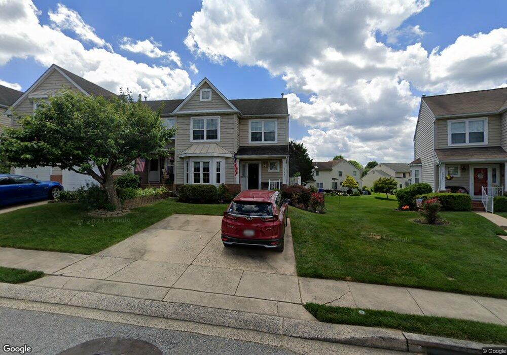
2096 Brandy Dr Forest Hill, MD 21050
Estimated Value: $375,000 - $512,000
Studio
4
Baths
1,760
Sq Ft
$246/Sq Ft
Est. Value
About This Home
This home is located at 2096 Brandy Dr, Forest Hill, MD 21050 and is currently estimated at $432,207, approximately $245 per square foot. 2096 Brandy Dr is a home located in Harford County with nearby schools including Forest Lakes Elementary School, Bel Air Middle School, and Bel Air High School.
Ownership History
Date
Name
Owned For
Owner Type
Purchase Details
Closed on
Aug 7, 2020
Sold by
Schwiegerath Patricia L
Bought by
Schwiegerath Patricia L and Schwiegerath Gary Michael
Current Estimated Value
Purchase Details
Closed on
Jan 27, 1998
Sold by
Hess Norman A
Bought by
Schwiegerath Michael R and Schwiegerath Patricia L
Purchase Details
Closed on
Nov 6, 1995
Sold by
Jones Norman A Patsy A Ak
Bought by
Hess Norman A and Hess Patsy A
Purchase Details
Closed on
Jan 3, 1994
Sold by
Bob Ward Inc
Bought by
Jones Norman A
Home Financials for this Owner
Home Financials are based on the most recent Mortgage that was taken out on this home.
Original Mortgage
$130,850
Interest Rate
7%
Create a Home Valuation Report for This Property
The Home Valuation Report is an in-depth analysis detailing your home's value as well as a comparison with similar homes in the area
Home Values in the Area
Average Home Value in this Area
Purchase History
| Date | Buyer | Sale Price | Title Company |
|---|---|---|---|
| Schwiegerath Patricia L | -- | None Available | |
| Schwiegerath Michael R | $150,900 | -- | |
| Hess Norman A | -- | -- | |
| Jones Norman A | $130,015 | -- |
Source: Public Records
Mortgage History
| Date | Status | Borrower | Loan Amount |
|---|---|---|---|
| Previous Owner | Jones Norman A | $130,850 | |
| Closed | Schwiegerath Michael R | -- |
Source: Public Records
Tax History Compared to Growth
Tax History
| Year | Tax Paid | Tax Assessment Tax Assessment Total Assessment is a certain percentage of the fair market value that is determined by local assessors to be the total taxable value of land and additions on the property. | Land | Improvement |
|---|---|---|---|---|
| 2025 | $3,473 | $329,200 | $82,500 | $246,700 |
| 2024 | $3,473 | $318,667 | $0 | $0 |
| 2023 | $3,199 | $308,133 | $0 | $0 |
| 2022 | $3,244 | $297,600 | $82,500 | $215,100 |
| 2021 | $6,591 | $293,633 | $0 | $0 |
| 2020 | $3,343 | $289,667 | $0 | $0 |
| 2019 | $3,297 | $285,700 | $65,500 | $220,200 |
| 2018 | $3,178 | $277,867 | $0 | $0 |
| 2017 | $3,088 | $285,700 | $0 | $0 |
| 2016 | $140 | $262,200 | $0 | $0 |
| 2015 | $3,032 | $259,100 | $0 | $0 |
| 2014 | $3,032 | $256,000 | $0 | $0 |
Source: Public Records
Map
Nearby Homes
- 809 Gail Ct
- 841 Bear Cabin Dr
- 112 Gwen Dr Unit 1K
- 112 Gwen Dr Unit 1J
- 111 Sunshine Ct Unit A
- 105 Sunshine Ct Unit G
- 103 Sunshine Ct Unit C
- 1817 Rock Spring Rd
- 417 Dellcrest Dr
- 308 Rock Spring Church Rd
- 1712 Landmark Dr Unit F
- 1702 Rich Way Unit 2C
- 1615 Samantha Dr
- 137 Spencer Cir
- 206 Kimary Ct Unit 2B
- 1605 Samantha Dr
- 2026 Mardic Dr
- 1986 Esther Ct
- 600 Rock Spring Church Rd
- 318 Streett Cir