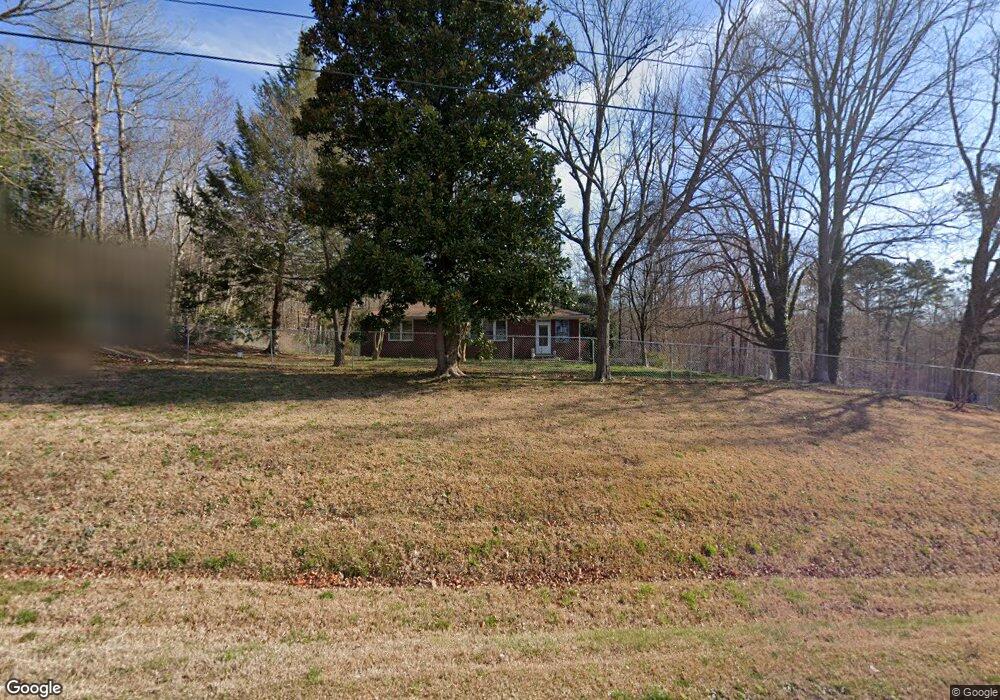
2096 Duncan Bridge Rd Cornelia, GA 30531
Estimated Value: $250,657 - $352,000
Studio
1
Bath
--
Sq Ft
40
Acres Lot
About This Home
This home is located at 2096 Duncan Bridge Rd, Cornelia, GA 30531 and is currently estimated at $301,329. 2096 Duncan Bridge Rd is a home located in Habersham County with nearby schools including Level Grove Elementary School, South Habersham Middle School, and Habersham Success Academy.
Ownership History
Date
Name
Owned For
Owner Type
Purchase Details
Closed on
Jan 2, 2025
Sold by
Jvw Enterprise Georgia Llc
Bought by
Watkins James Ezra
Current Estimated Value
Purchase Details
Closed on
Jun 20, 2019
Sold by
Watkins James Ezra
Bought by
Jvw Enterprise Georgia Llc
Purchase Details
Closed on
Jun 18, 2019
Sold by
Watkins Miriam Rebecca
Bought by
Watkins James Ezra
Purchase Details
Closed on
Dec 20, 2012
Sold by
Watkins Miriam Rebecca
Bought by
Watkins James Ezra
Purchase Details
Closed on
Jan 12, 2012
Sold by
Watkins Miriam Rebecca
Bought by
Watkins James Ezra
Create a Home Valuation Report for This Property
The Home Valuation Report is an in-depth analysis detailing your home's value as well as a comparison with similar homes in the area
Home Values in the Area
Average Home Value in this Area
Purchase History
We collect this data history from publicly available records. To have your information removed, we recommend requesting removal directly through your county’s website.
| Date | Buyer | Sale Price | Title Company |
|---|---|---|---|
| Watkins James Ezra | -- | -- | |
| Jvw Enterprise Georgia Llc | -- | -- | |
| Watkins James Ezra | $150,000 | -- | |
| Watkins James Ezra | -- | -- | |
| Watkins James Ezra | -- | -- |
Source: Public Records
Tax History
| Year | Tax Paid | Tax Assessment Tax Assessment Total Assessment is a certain percentage of the fair market value that is determined by local assessors to be the total taxable value of land and additions on the property. | Land | Improvement |
|---|---|---|---|---|
| 2025 | $275 | $151,200 | $151,200 | $0 |
| 2024 | -- | $97,600 | $97,600 | $0 |
| 2023 | $2,440 | $97,600 | $97,600 | $0 |
| 2022 | $265 | $48,800 | $48,800 | $0 |
| 2021 | $256 | $48,800 | $48,800 | $0 |
| 2020 | $265 | $48,800 | $48,800 | $0 |
| 2019 | $318 | $48,800 | $48,800 | $0 |
| 2018 | $316 | $48,800 | $48,800 | $0 |
| 2017 | $309 | $48,800 | $48,800 | $0 |
| 2016 | $291 | $27,890 | $48,800 | $0 |
| 2015 | $279 | $27,110 | $48,800 | $0 |
| 2014 | $277 | $26,330 | $48,800 | $0 |
| 2013 | -- | $53,680 | $53,680 | $0 |
Source: Public Records
Map
Nearby Homes
- 466 Cherry Cir
- 0 Hubert Harris
- 429 Hubert Harris Rd
- 4196 Mud Creek Rd
- 276 Bent Oak Dr
- 263 Woodmont Dr
- 0 Woodmont Dr Unit LOT 3
- 335 Highland Pointe Dr
- 372 Highland Pointe Dr
- 429 Highland Pointe Dr
- 424 Highland Pointe Dr
- 776 Dawn Place
- 517 Highland Pointe Dr
- 444 Highland Pointe Dr
- 731 Dawn Place
- 769 Dawn Place
- 3402 Bc Grant Rd
- J Warren
- 0 J Warren Rd Unit 10429700
- 222 Mallard Pond Cir
- 124 Cherry Cir
- 2117 Duncan Bridge Rd
- 121 Cherry Cir
- 2209 Duncan Bridge Rd
- 169 Cherry Cir
- 170 Cherry Cir
- 2248 Duncan Bridge Rd
- 254 Cherry Cir
- 2248 Duncan Bridge Rd
- 2248 Duncan Bridge Rd
- 172 Cherry Cir
- 2256 Duncan Bridge Rd
- 310 Cherry Cir
- 2324 Duncan Bridge Rd
- 2324 Duncan Bridge Rd
- 304 Cherry Cir
- 281 Cherry Cir
- 350 Cherry Cir
- 405 Cherry Cir
- 390 Cherry Cir
Your Personal Tour Guide
Ask me questions while you tour the home.