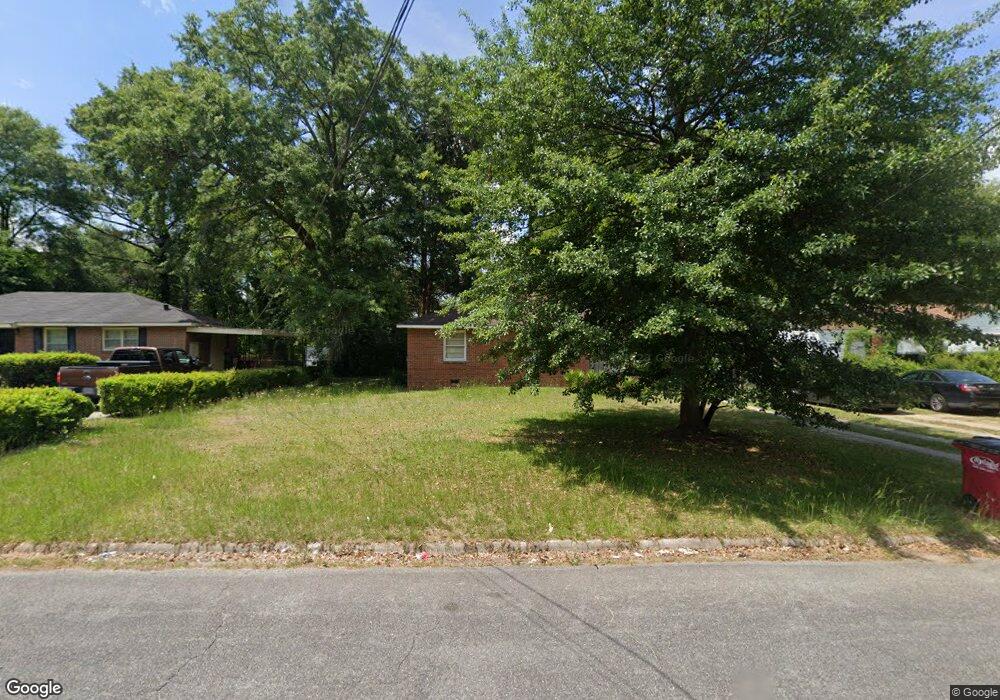
2096 Knightsbridge Rd Macon, GA 31211
Estimated Value: $49,214 - $87,000
3
Beds
1
Bath
955
Sq Ft
$72/Sq Ft
Est. Value
About This Home
This home is located at 2096 Knightsbridge Rd, Macon, GA 31211 and is currently estimated at $69,054, approximately $72 per square foot. 2096 Knightsbridge Rd is a home located in Bibb County with nearby schools including Martin Luther King Jr. Elementary School, Appling Middle School, and Northeast High School.
Ownership History
Date
Name
Owned For
Owner Type
Purchase Details
Closed on
Nov 10, 2022
Sold by
James Estate Holdings Llc
Bought by
Peeka Homes Llc
Current Estimated Value
Purchase Details
Closed on
Aug 21, 2021
Sold by
Gentle Alphonzo
Bought by
James Estate Holdings Llc
Home Financials for this Owner
Home Financials are based on the most recent Mortgage that was taken out on this home.
Original Mortgage
$50,000
Interest Rate
2.16%
Purchase Details
Closed on
Sep 7, 2018
Sold by
Stroud Johnathan
Bought by
Gentle Alphonzo
Purchase Details
Closed on
Aug 17, 2015
Sold by
Roberts Lloyd
Bought by
Stroud Johnathan
Purchase Details
Closed on
Sep 28, 2005
Sold by
Meg Real Estate Investments Llc
Bought by
Roberts Lloyd G
Purchase Details
Closed on
Sep 26, 2005
Create a Home Valuation Report for This Property
The Home Valuation Report is an in-depth analysis detailing your home's value as well as a comparison with similar homes in the area
Home Values in the Area
Average Home Value in this Area
Purchase History
| Date | Buyer | Sale Price | Title Company |
|---|---|---|---|
| Peeka Homes Llc | $35,000 | Jenkins Title | |
| Peeka Homes Llc | $35,000 | Jenkins Title | |
| James Estate Holdings Llc | $30,000 | Burgess Title & Escrow Llc | |
| Gentle Alphonzo | $10,000 | None Available | |
| Stroud Johnathan | $15,000 | -- | |
| Roberts Lloyd G | $33,000 | None Available | |
| -- | $18,000 | -- |
Source: Public Records
Mortgage History
| Date | Status | Borrower | Loan Amount |
|---|---|---|---|
| Previous Owner | James Estate Holdings Llc | $50,000 |
Source: Public Records
Tax History Compared to Growth
Tax History
| Year | Tax Paid | Tax Assessment Tax Assessment Total Assessment is a certain percentage of the fair market value that is determined by local assessors to be the total taxable value of land and additions on the property. | Land | Improvement |
|---|---|---|---|---|
| 2025 | $344 | $14,000 | $976 | $13,024 |
| 2024 | $356 | $14,000 | $976 | $13,024 |
| 2023 | $302 | $22,376 | $1,560 | $20,816 |
| 2022 | $529 | $15,293 | $2,600 | $12,693 |
| 2021 | $436 | $11,466 | $1,658 | $9,808 |
| 2020 | $400 | $10,312 | $1,658 | $8,654 |
| 2019 | $404 | $10,312 | $1,658 | $8,654 |
| 2018 | $811 | $10,518 | $1,658 | $8,860 |
| 2017 | $394 | $10,518 | $1,658 | $8,860 |
| 2016 | $208 | $10,518 | $1,658 | $8,860 |
| 2015 | $511 | $10,428 | $1,658 | $8,770 |
| 2014 | $794 | $14,104 | $2,412 | $11,693 |
Source: Public Records
Map
Nearby Homes
- 2630 Pauladale Dr
- 2458 Tredway Dr
- 2371 Kensington Rd
- 2557 Hyde Park Rd
- 2792 Skyline Dr
- 2761 Walnut Creek Rd
- 2815 New Clinton Rd
- 240 Neptune Ct
- 2229 New Clinton Rd
- 2146 Melton Ave
- 131 Sun Valley Dr
- 135 Sun Valley Dr
- 2130 New Clinton Rd
- 2066 Melton Ave
- 3154 Bethune Ave
- 2029 Kitchens Rd
- 837 Artic Cir
- 1840 Kinder Kare Dr
- 1818 Kinder Kare Dr
- 3048 Bethune Ave
- 2106 Knightsbridge Rd
- 2090 Knightsbridge Rd
- 2084 Knightsbridge Rd
- 2112 Knightsbridge Rd
- 2625 Pauladale Dr
- 2631 Pauladale Dr
- 2619 Pauladale Dr
- 2093 Knightsbridge Rd
- 2103 Knightsbridge Rd
- 2120 Knightsbridge Rd
- 2087 Knightsbridge Rd
- 2109 Knightsbridge Rd
- 2078 Knightsbridge Rd
- 2637 Pauladale Dr
- 2081 Knightsbridge Rd
- 2615 Knightsbridge Place
- 2613 Pauladale Dr
- 2117 Knightsbridge Rd
- 2615 Knightsbridge Place
- 2128 Knightsbridge Rd