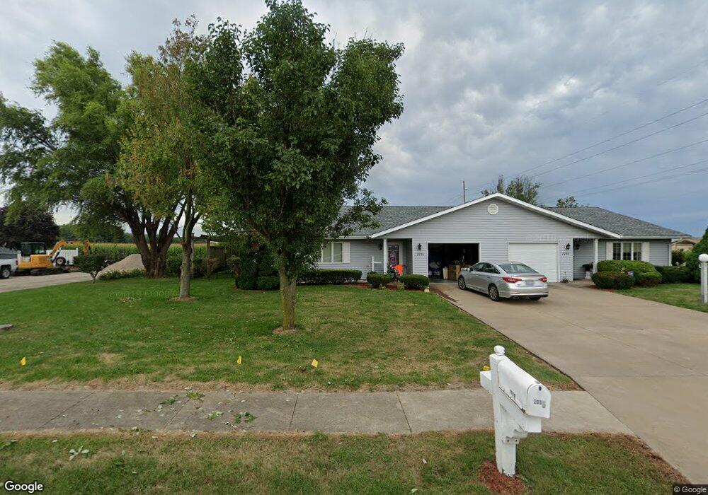
2096 W Losey St Galesburg, IL 61401
Estimated Value: $216,000 - $270,000
2
Beds
2
Baths
1,412
Sq Ft
$167/Sq Ft
Est. Value
About This Home
This home is located at 2096 W Losey St, Galesburg, IL 61401 and is currently estimated at $236,118, approximately $167 per square foot. 2096 W Losey St is a home located in Knox County with nearby schools including Steele School, Lombard Middle School, and Galesburg Junior Senior High School.
Ownership History
Date
Name
Owned For
Owner Type
Purchase Details
Closed on
Aug 25, 2020
Sold by
Olson Mary A
Bought by
Mcgarry Harley T and Mcgarry Devin N
Current Estimated Value
Home Financials for this Owner
Home Financials are based on the most recent Mortgage that was taken out on this home.
Original Mortgage
$165,000
Interest Rate
4.75%
Mortgage Type
Construction
Purchase Details
Closed on
Jul 29, 2011
Sold by
Midwest Bk Of Western Il
Bought by
Olson Mary Ann
Create a Home Valuation Report for This Property
The Home Valuation Report is an in-depth analysis detailing your home's value as well as a comparison with similar homes in the area
Home Values in the Area
Average Home Value in this Area
Purchase History
| Date | Buyer | Sale Price | Title Company |
|---|---|---|---|
| Mcgarry Harley T | $163,000 | Attorney Only | |
| Olson Mary Ann | $160,000 | Attorney Only |
Source: Public Records
Mortgage History
| Date | Status | Borrower | Loan Amount |
|---|---|---|---|
| Closed | Mcgarry Harley T | $165,000 | |
| Closed | Olson Mary Ann | $128,000 |
Source: Public Records
Tax History Compared to Growth
Tax History
| Year | Tax Paid | Tax Assessment Tax Assessment Total Assessment is a certain percentage of the fair market value that is determined by local assessors to be the total taxable value of land and additions on the property. | Land | Improvement |
|---|---|---|---|---|
| 2024 | $6,037 | $65,070 | $8,530 | $56,540 |
| 2023 | $6,037 | $63,000 | $8,260 | $54,740 |
| 2022 | $5,404 | $57,020 | $8,260 | $48,760 |
| 2021 | $5,234 | $53,790 | $7,790 | $46,000 |
| 2020 | $5,338 | $60,250 | $7,790 | $52,460 |
| 2019 | $5,091 | $59,070 | $7,640 | $51,430 |
| 2018 | $5,570 | $59,070 | $7,420 | $51,650 |
| 2017 | $5,445 | $57,350 | $7,200 | $50,150 |
| 2015 | -- | $56,500 | $7,090 | $49,410 |
| 2013 | $4,215 | $53,600 | $7,160 | $46,440 |
Source: Public Records
Map
Nearby Homes
- 2049 W Losey St
- 1589 W Water St
- 1637 Woodbine Cir S
- 1501 Bridge Ave
- 1450 Bridge Ave
- 1286 W Losey St
- 1278 W Grove St
- 1033 Sweetbriar Place
- 349 Hawkinson Ave
- 943 Hawkinson Ave
- 1144 Court St
- 98 Dieterich Ave
- 705 Olive St
- 400 BLK S Linwood Rd
- 1064 Monroe St
- 1030 W Berrien St
- 668 Harvey St
- 78 Garfield Ave
- 852 Maple Ave
- 380 Maple Ave
- 2060 W Losey St
- 2097 W Losey St
- 2087 W Losey St
- 2067 W Losey St
- 2040 W Losey St
- 2033 W Losey St
- 2013 W Losey St
- 1998 W Losey St
- 522 Isle Royale Rd
- 1983 W Losey St
- 508 Isle Royale Rd
- 488 Isle Royale Rd
- 432 N Linwood Rd
- 474 Isle Royale Rd
- 1963 W Losey St
- 466 Isle Royale Rd
- 450 Isle Royale Rd
- 1949 W Losey St
- 430 Isle Royale Rd
- 523 Isle Royale Rd