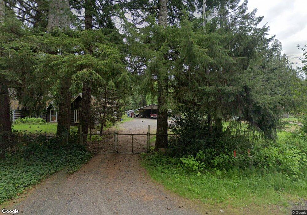
20960 Scappoose Vernonia Hwy Scappoose, OR 97056
Estimated Value: $560,516 - $710,000
3
Beds
2
Baths
1,840
Sq Ft
$345/Sq Ft
Est. Value
About This Home
This home is located at 20960 Scappoose Vernonia Hwy, Scappoose, OR 97056 and is currently estimated at $635,258, approximately $345 per square foot. 20960 Scappoose Vernonia Hwy is a home located in Columbia County with nearby schools including Vernonia High School.
Ownership History
Date
Name
Owned For
Owner Type
Purchase Details
Closed on
Mar 19, 2012
Sold by
Steffen Charles C and Steffen Deborah W
Bought by
Davis William R and Davis Katharine D
Current Estimated Value
Home Financials for this Owner
Home Financials are based on the most recent Mortgage that was taken out on this home.
Original Mortgage
$168,000
Outstanding Balance
$115,239
Interest Rate
3.84%
Mortgage Type
New Conventional
Estimated Equity
$520,019
Purchase Details
Closed on
Apr 13, 2004
Sold by
Raney Jerry C and Raney Glendz J
Bought by
Steffen Charles C and Steffen Deborah W
Home Financials for this Owner
Home Financials are based on the most recent Mortgage that was taken out on this home.
Original Mortgage
$220,000
Interest Rate
5.57%
Mortgage Type
Unknown
Create a Home Valuation Report for This Property
The Home Valuation Report is an in-depth analysis detailing your home's value as well as a comparison with similar homes in the area
Home Values in the Area
Average Home Value in this Area
Purchase History
| Date | Buyer | Sale Price | Title Company |
|---|---|---|---|
| Davis William R | $282,000 | First American | |
| Steffen Charles C | $275,000 | Ticor Title |
Source: Public Records
Mortgage History
| Date | Status | Borrower | Loan Amount |
|---|---|---|---|
| Open | Davis William R | $168,000 | |
| Previous Owner | Steffen Charles C | $220,000 |
Source: Public Records
Tax History Compared to Growth
Tax History
| Year | Tax Paid | Tax Assessment Tax Assessment Total Assessment is a certain percentage of the fair market value that is determined by local assessors to be the total taxable value of land and additions on the property. | Land | Improvement |
|---|---|---|---|---|
| 2024 | $3,186 | $250,896 | $66,566 | $184,330 |
| 2023 | $3,169 | $243,596 | $60,866 | $182,730 |
| 2022 | $2,998 | $236,509 | $58,599 | $177,910 |
| 2021 | $2,917 | $229,625 | $57,425 | $172,200 |
| 2020 | $2,841 | $222,945 | $54,035 | $168,910 |
| 2019 | $2,586 | $216,458 | $51,878 | $164,580 |
| 2018 | $2,574 | $46 | $46 | $0 |
| 2017 | $2,520 | $45 | $45 | $0 |
| 2016 | $2,388 | $43 | $43 | $0 |
| 2015 | $1 | $42 | $42 | $0 |
| 2014 | $1 | $41 | $41 | $0 |
Source: Public Records
Map
Nearby Homes
- 62411 Nehalem Hwy N
- 64086 Nehalem Hwy N
- 0 Nehalem Hwy N
- 1400 E Knott St
- 1852 N Mist Dr
- 251 E I St
- 233 E I St
- 669 N Mist Dr
- 64977 Nehalem Hwy N
- 144 E H St
- 158 E H St
- 959 Spencer Ave
- 935 Spencer Ave
- 0 Keasey Rd Unit 518725712
- 0000 Keasey Rd
- 927 Spencer Ave
- 0 Ave Unit 439855536
- 344 Mississippi Ave
- 176 North St
- 821 Bridge St
- 20960 Scap Vernonia Hwy
- 20957 Scappoose Vernonia Hwy
- 21010 Scappoose Vernonia Hwy
- 21020 Scappoose Vernonia Hwy
- 20885 Scappoose Vernonia Hwy
- 20953 Scappoose Vernonia Hwy
- 20830 Scappoose Vernonia Hwy
- 20804 Scappoose Vernonia Hwy
- 20857 Scappoose Vernonia Hwy
- 20750 Scappoose Vernonia Hwy
- 20736 Scappoose Vernonia Hwy
- 20835 Scappoose Vernonia Hwy
- 20750 Scappoose Vernonia Hwy
- 20960 Scappoose Vernonia Hwy
- 62491 Nehalem Hwy N
- 62424 Nehalem Hwy N
- 62481 Nehalem Hwy N
- 62481 Nehalem Hwy N
- 62465 Nehalem Hwy N
- 62467 Nehalem Hwy N