20969 Hoover Bault Rd Marysville, OH 43040
Estimated Value: $366,000 - $623,577
3
Beds
2
Baths
1,709
Sq Ft
$276/Sq Ft
Est. Value
About This Home
This home is located at 20969 Hoover Bault Rd, Marysville, OH 43040 and is currently estimated at $470,894, approximately $275 per square foot. 20969 Hoover Bault Rd is a home with nearby schools including Raymond Elementary School, Creekview Intermediate Elementary School, and Bunsold Middle School.
Ownership History
Date
Name
Owned For
Owner Type
Purchase Details
Closed on
Apr 4, 2016
Sold by
Jackson Harlan F
Bought by
Jackson Harlan F
Current Estimated Value
Home Financials for this Owner
Home Financials are based on the most recent Mortgage that was taken out on this home.
Original Mortgage
$148,000
Outstanding Balance
$64,679
Interest Rate
3.64%
Mortgage Type
Commercial
Estimated Equity
$406,215
Purchase Details
Closed on
Feb 17, 2005
Sold by
Estate Of Sandra J Jackson
Bought by
Jackson Harlan
Create a Home Valuation Report for This Property
The Home Valuation Report is an in-depth analysis detailing your home's value as well as a comparison with similar homes in the area
Home Values in the Area
Average Home Value in this Area
Purchase History
| Date | Buyer | Sale Price | Title Company |
|---|---|---|---|
| Jackson Harlan F | -- | Attorney | |
| Jackson Harlan | -- | -- |
Source: Public Records
Mortgage History
| Date | Status | Borrower | Loan Amount |
|---|---|---|---|
| Open | Jackson Harlan F | $148,000 |
Source: Public Records
Tax History Compared to Growth
Tax History
| Year | Tax Paid | Tax Assessment Tax Assessment Total Assessment is a certain percentage of the fair market value that is determined by local assessors to be the total taxable value of land and additions on the property. | Land | Improvement |
|---|---|---|---|---|
| 2024 | $5,392 | $107,020 | $3,840 | $103,180 |
| 2023 | $5,392 | $107,020 | $3,840 | $103,180 |
| 2022 | $249 | $5,490 | $3,840 | $1,650 |
| 2021 | $288 | $77,120 | $75,470 | $1,650 |
| 2020 | $276 | $77,120 | $75,470 | $1,650 |
| 2019 | $284 | $77,120 | $75,470 | $1,650 |
| 2018 | $1,501 | $66,790 | $66,790 | $0 |
| 2017 | $1,419 | $66,790 | $66,790 | $0 |
| 2016 | $1,414 | $66,790 | $66,790 | $0 |
| 2015 | $1,363 | $55,910 | $55,910 | $0 |
| 2014 | $1,363 | $55,910 | $55,910 | $0 |
| 2013 | $1,285 | $55,910 | $55,910 | $0 |
Source: Public Records
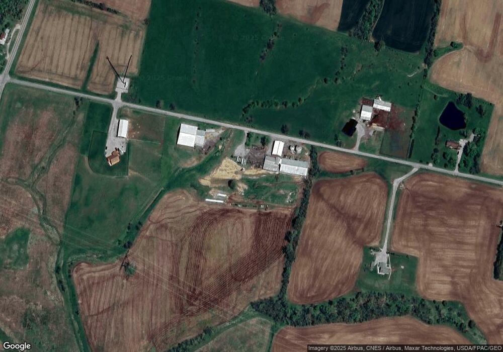
Map
Nearby Homes
- 0 Powder Lick Rd Unit 1016484
- 21630 Main St
- 23156 State Route 739
- 25400 Storms Rd
- 21875 Liberty Rd W
- 20971 Peoria Loop Rd
- 0 Liberty Rd W Unit 225028227
- 24097 Lunda Rd
- 25883 Lunda Rd
- 1299 Forest Edge Dr
- 1322 Forest Edge Dr
- 19250 Powder Lick Rd
- 24805 Rapp Dean Rd
- 20350 Bear Swamp Rd
- 20499 Bear Swamp Rd
- 0 Johnson Rd Unit 225027964
- 0 Johnson Rd Unit 222024368
- 0 Johnson Rd Unit Lot 2 222024351
- 0 Benton Rd Unit Lot B 225022637
- 0 Benton Rd Unit Lot A 225022636
- 23634 State Route 739
- 23597 State Route 739
- 23656 State Route 739
- 23600 State Route 739
- 23620 State Route 739
- 23620 State Route 739
- 23605 State Route 739
- 24001 State Route 739
- 0 Hoover-Bault Rd
- 24103 State Route 739
- 23656 Ohio 739
- 23659 State Route 739
- 20949 Hoover Bault Rd
- 23480 State Route 739
- 29345 Ohio 739
- 23480 Ohio 739
- 20860 Hoover Bault Rd
- 24321 State Route 739
- 20805 Hoover Bault Rd
- 24353 State Route 739