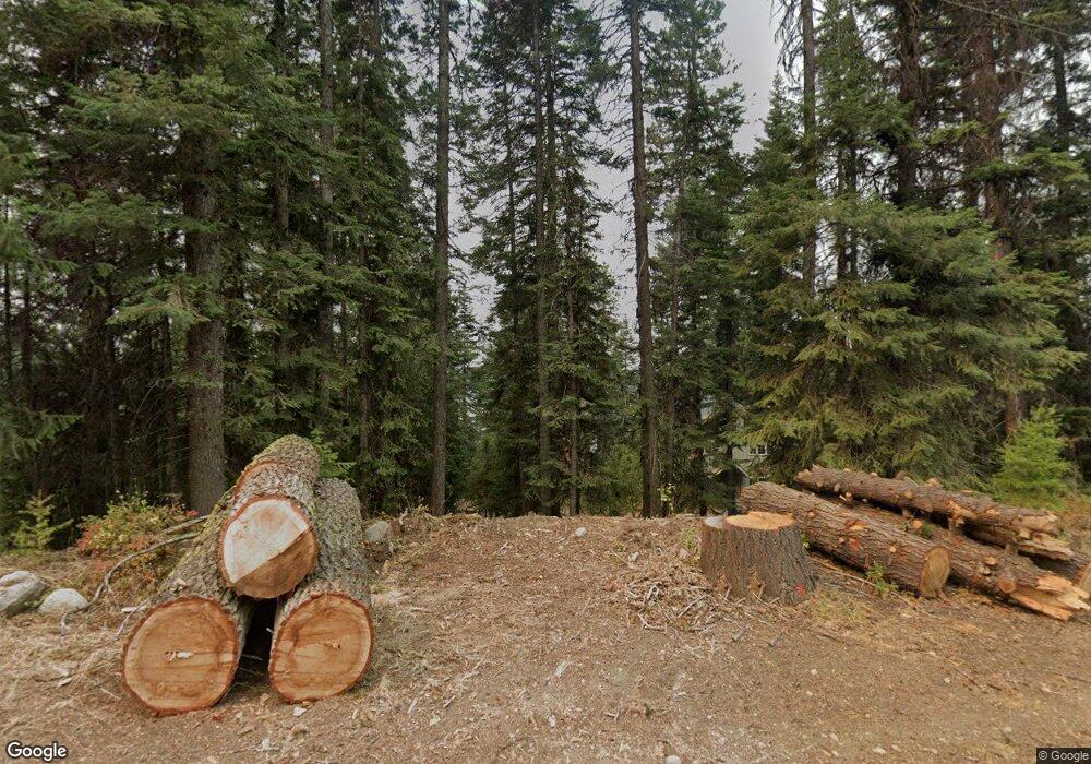
2097 & 2099 Eastside Dr McCall, ID 83638
Estimated Value: $5,736,000 - $6,362,000
17
Beds
12
Baths
7,100
Sq Ft
$838/Sq Ft
Est. Value
About This Home
This home is located at 2097 & 2099 Eastside Dr, McCall, ID 83638 and is currently estimated at $5,950,775, approximately $838 per square foot. 2097 & 2099 Eastside Dr is a home located in Valley County with nearby schools including McCall-Donnelly High School and The North Fork School.
Ownership History
Date
Name
Owned For
Owner Type
Purchase Details
Closed on
Dec 12, 2024
Sold by
Spaeth William F Rick
Bought by
2097 Eastside Llc
Current Estimated Value
Home Financials for this Owner
Home Financials are based on the most recent Mortgage that was taken out on this home.
Original Mortgage
$5,500,000
Outstanding Balance
$4,532,096
Interest Rate
6.72%
Mortgage Type
Seller Take Back
Estimated Equity
$1,418,679
Create a Home Valuation Report for This Property
The Home Valuation Report is an in-depth analysis detailing your home's value as well as a comparison with similar homes in the area
Home Values in the Area
Average Home Value in this Area
Purchase History
| Date | Buyer | Sale Price | Title Company |
|---|---|---|---|
| 2097 Eastside Llc | -- | Title One |
Source: Public Records
Mortgage History
| Date | Status | Borrower | Loan Amount |
|---|---|---|---|
| Open | 2097 Eastside Llc | $5,500,000 |
Source: Public Records
Tax History Compared to Growth
Tax History
| Year | Tax Paid | Tax Assessment Tax Assessment Total Assessment is a certain percentage of the fair market value that is determined by local assessors to be the total taxable value of land and additions on the property. | Land | Improvement |
|---|---|---|---|---|
| 2025 | $9,677 | $5,109,096 | $2,960,756 | $2,148,340 |
| 2023 | $9,677 | $3,672,670 | $1,755,797 | $1,916,873 |
| 2022 | $8,344 | $3,283,039 | $1,609,481 | $1,673,558 |
| 2021 | $8,518 | $2,233,457 | $1,284,275 | $949,182 |
| 2020 | $8,570 | $1,921,111 | $1,163,779 | $757,332 |
| 2019 | $8,211 | $1,740,023 | $1,094,924 | $645,099 |
| 2018 | $8,450 | $1,623,902 | $1,026,374 | $597,528 |
| 2017 | $8,733 | $1,482,336 | $944,609 | $537,727 |
| 2016 | $9,333 | $1,543,784 | $944,609 | $599,175 |
| 2015 | $9,529 | $1,505,804 | $0 | $0 |
| 2013 | -- | $1,531,436 | $0 | $0 |
Source: Public Records
Map
Nearby Homes
- 2245 Edgemere Ln
- 1367 Pinehurst Blvd Unit 15B
- 1339 Beach Way
- 2097 Water Lily Unit 2
- 1105 Graham Dr
- TBD Dragonfly Loop
- TBD Dragonfly Loop Unit 72
- 1089 Graham Dr
- 1484 Dragonfly Loop
- 959 Conifer Ln
- 1425 Dragonfly Loop
- 1047 Kaitlyn Loop
- 1685 Ginney Way
- 1250 Aspen Ridge Ln Unit 112
- 1400 & 1404 Mountain Meadow Dr
- 1400&04 Mountain Meadow Dr Unit 8 & 9
- 13915 Sky View Ct
- 13910 Sky View Ct Unit 8
- 13917 Sky View Ct
- 1210 Aspen Ridge Ln Unit 96
- 2103 Eastside Dr
- 2103 Eastside Dr Unit 22
- TBD Lakeview Ave Unit 2
- 812 Lakeview Ave
- 2099 Eastside Dr
- 2109 Eastside Dr
- 2095 Lakeview Ave
- 2113 Eastside Dr
- 2115 Eastside Dr
- 2077 Lakeview Ave
- 2117 Eastside Dr
- 2117 Eastside Dr
- 2087 Lakeview Ave
- 2121 Eastside Dr
- 2075 Lakeview Ave
- 2125 Eastside Dr
- 2083 Lakeview Ave
- 2131 Eastside Dr
- 2071 Lakeview Ave
- 2078 E Lakes Rd
