Estimated Value: $273,000 - $389,000
3
Beds
2
Baths
2,160
Sq Ft
$161/Sq Ft
Est. Value
About This Home
This home is located at 2097 Broad Run Dairy Rd NW, Dover, OH 44622 and is currently estimated at $346,885, approximately $160 per square foot. 2097 Broad Run Dairy Rd NW is a home located in Tuscarawas County with nearby schools including Garaway High School, Stony Point School, and Sand Hill School.
Ownership History
Date
Name
Owned For
Owner Type
Purchase Details
Closed on
Dec 13, 2024
Sold by
Knowles George M and Knowles Charlene D
Bought by
George M Knowles And Charlene D Knowles Famil and Knowles
Current Estimated Value
Purchase Details
Closed on
Jan 4, 2010
Sold by
Knowles George and Knowles Charlene D
Bought by
Knowles George M and Knowles Charlene D
Purchase Details
Closed on
Jan 17, 2006
Sold by
Knowles George and Knowles Charlene
Bought by
Knowles George and Knowles Charlene D
Create a Home Valuation Report for This Property
The Home Valuation Report is an in-depth analysis detailing your home's value as well as a comparison with similar homes in the area
Home Values in the Area
Average Home Value in this Area
Purchase History
| Date | Buyer | Sale Price | Title Company |
|---|---|---|---|
| George M Knowles And Charlene D Knowles Famil | -- | None Listed On Document | |
| George M Knowles And Charlene D Knowles Famil | -- | None Listed On Document | |
| Knowles George M | -- | Alpha Land Title | |
| Knowles George | -- | None Available |
Source: Public Records
Tax History Compared to Growth
Tax History
| Year | Tax Paid | Tax Assessment Tax Assessment Total Assessment is a certain percentage of the fair market value that is determined by local assessors to be the total taxable value of land and additions on the property. | Land | Improvement |
|---|---|---|---|---|
| 2024 | $2,586 | $78,040 | $28,040 | $50,000 |
| 2023 | $2,586 | $222,970 | $80,100 | $142,870 |
| 2022 | $2,629 | $78,040 | $28,035 | $50,005 |
| 2021 | $2,251 | $64,842 | $21,004 | $43,838 |
| 2020 | $2,257 | $64,842 | $21,004 | $43,838 |
| 2019 | $2,249 | $64,842 | $21,004 | $43,838 |
| 2018 | $1,745 | $54,720 | $17,730 | $36,990 |
| 2017 | $1,746 | $54,720 | $17,730 | $36,990 |
| 2016 | $1,749 | $54,720 | $17,730 | $36,990 |
| 2014 | $1,590 | $49,490 | $15,410 | $34,080 |
| 2013 | $1,551 | $49,490 | $15,410 | $34,080 |
Source: Public Records
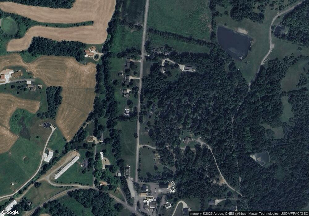
Map
Nearby Homes
- 5827 Old Route 39 NW
- 5181 State Route 516 NW
- 4029 Minard Rd NW
- 0 Swonger Rd Unit 5161456
- 0 Swonger Rd Unit 5161457
- 191 Heritage Crossing SE
- 201 Parkhill Dr NE
- 0 Bair Rd NW Unit 5124469
- 0 Bair Rd NW Unit 5124477
- 0 Bair Rd NW Unit 5124464
- 0 Bair Rd NW Unit 5124485
- 0 Bair Rd NW Unit 5124339
- 0 Bair Rd NW Unit 5124397
- 0 Bair Rd NW Unit 5124402
- 0 Bair Rd NW Unit 5124415
- 0 Bair Rd NW Unit 5124421
- 5742 Hilltop Dr NW
- 2180 Kimberley Dr NW
- 0 W Main St Unit 5163516
- 0 W Main St Unit 5163469
- 1901 Broad Run Dairy Rd NW
- 2155 Broad Run Dairy Rd NW
- 2074 Broad Run Dairy Rd NW
- 2134 Broad Run Dairy Rd NW
- 2193 Broad Run Dairy Rd NW
- 1981 Broad Run Dairy Rd NW
- 2162 Broad Run Dairy Rd NW
- 6101 Old Route 39 NW
- 1943 NW Nw Broad Run Dairy Rd Rd NW
- 6097 Old Route 39 NW
- 2180 Broad Run Dairy Rd NW
- 6105 Old Route 39 NW
- 6093 Old Route 39 NW
- 6011 Old Route 39 NW
- 5995 Old Route 39 NW
- 6089 Old Route 39 NW
- 6109 Old Route 39 NW
- 5961 Old Route 39 NW
- 5859 Old Route 39 NW
- 6123 Old Route 39 NW