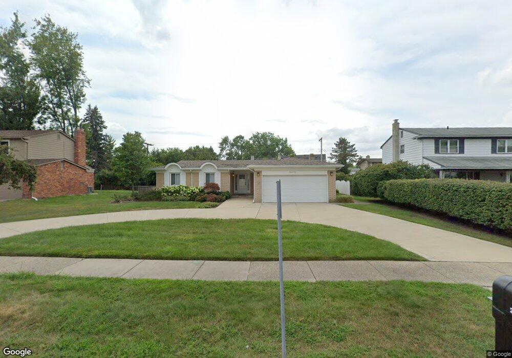
20975 Independence Dr Southfield, MI 48076
Estimated Value: $242,000 - $386,000
3
Beds
2
Baths
1,860
Sq Ft
$169/Sq Ft
Est. Value
About This Home
This home is located at 20975 Independence Dr, Southfield, MI 48076 and is currently estimated at $314,936, approximately $169 per square foot. 20975 Independence Dr is a home located in Oakland County with nearby schools including Alice M. Birney K-8 School, Southfield Christian School, and Yeshivas Darchei Torah.
Ownership History
Date
Name
Owned For
Owner Type
Purchase Details
Closed on
Sep 16, 2010
Sold by
Provident Funding Associates L P
Bought by
Federal Home Loan Mortgage Corp
Current Estimated Value
Purchase Details
Closed on
Mar 9, 2010
Sold by
Brown Speedy and Jackson Silvia
Bought by
Provident Funding Associates L P
Purchase Details
Closed on
Feb 1, 2007
Sold by
Jpmorgan Chase Bank Na
Bought by
Brown Speedy and Jackson Sylvia
Purchase Details
Closed on
Jun 29, 2006
Sold by
Mortgage Electronic Registration Systems
Bought by
Jpmorgan Chase Bank
Purchase Details
Closed on
Dec 6, 2005
Sold by
Naemi Khairi G and Naemi Warina Z
Bought by
Mortgage Electronic Registration Systems
Create a Home Valuation Report for This Property
The Home Valuation Report is an in-depth analysis detailing your home's value as well as a comparison with similar homes in the area
Home Values in the Area
Average Home Value in this Area
Purchase History
| Date | Buyer | Sale Price | Title Company |
|---|---|---|---|
| Federal Home Loan Mortgage Corp | -- | None Available | |
| Provident Funding Associates L P | $136,023 | None Available | |
| Brown Speedy | $134,500 | E Title Agency | |
| Jpmorgan Chase Bank | -- | None Available | |
| Mortgage Electronic Registration Systems | $192,600 | None Available |
Source: Public Records
Tax History Compared to Growth
Tax History
| Year | Tax Paid | Tax Assessment Tax Assessment Total Assessment is a certain percentage of the fair market value that is determined by local assessors to be the total taxable value of land and additions on the property. | Land | Improvement |
|---|---|---|---|---|
| 2022 | $4,004 | $122,750 | $25,880 | $96,870 |
| 2021 | $4,225 | $112,360 | $21,060 | $91,300 |
| 2020 | $3,386 | $105,460 | $18,000 | $87,460 |
| 2018 | $3,955 | $89,200 | $18,000 | $71,200 |
| 2015 | -- | $68,540 | $0 | $0 |
| 2014 | -- | $57,310 | $0 | $0 |
| 2011 | -- | $57,530 | $0 | $0 |
Source: Public Records
Map
Nearby Homes
- 21140 Winchester St
- 20780 Wayland St
- 21330 Winchester St
- 21440 Constitution St
- 27925 Arlington Dr
- 21361 Andover Rd
- 20351 Lacrosse Ave
- 20345 Harbor Ln
- 28450 Tapert Dr
- 27249 Nantucket Dr
- 20120 Covington Pkwy
- 21731 Concord St
- 000 Pontiac Trail
- 28330 Lahser Rd
- 20141 Lacrosse Ave
- 21901 Concord St
- 27430 Evergreen Rd Unit 36
- 22300 Ivanhoe Ln
- 19601 W 12 Mile Rd Unit 102
- 22465 Kenwyck Dr
- 20985 Independence Dr
- 20965 Independence Dr
- 20980 Constitution St
- 20970 Constitution St
- 20990 Constitution St
- 21115 Independence Dr
- 20980 Independence Dr
- 20970 Independence Dr
- 21120 Constitution St
- 20990 Independence Dr
- 21145 Independence Dr
- 20965 Constitution St
- 21120 Independence Dr
- 21150 Constitution St
- 21150 Independence Dr
- 20965 Glenmorra St
- 20975 Glenmorra St
- 20975 Constitution St
- 20985 Constitution St
- 21175 Independence Dr