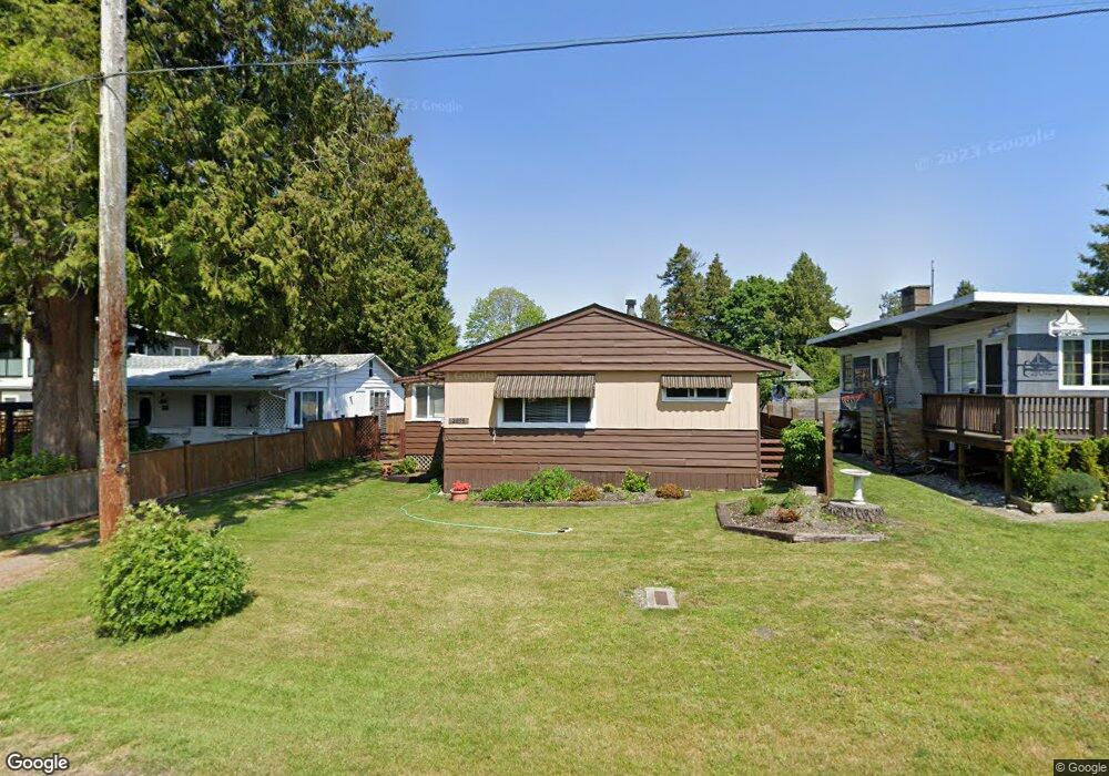
2098 Alder St Point Roberts, WA 98281
Estimated Value: $274,675 - $349,000
3
Beds
1
Bath
847
Sq Ft
$365/Sq Ft
Est. Value
About This Home
This home is located at 2098 Alder St, Point Roberts, WA 98281 and is currently estimated at $308,919, approximately $364 per square foot. 2098 Alder St is a home located in Whatcom County with nearby schools including Point Roberts Primary School, Blaine Middle School, and Blaine High School.
Ownership History
Date
Name
Owned For
Owner Type
Purchase Details
Closed on
Nov 7, 2023
Sold by
Reid Duncan K and Reid Alicia C
Bought by
Reid Malcolm and Reid Kari
Current Estimated Value
Home Financials for this Owner
Home Financials are based on the most recent Mortgage that was taken out on this home.
Original Mortgage
$180,000
Interest Rate
7.57%
Mortgage Type
Seller Take Back
Create a Home Valuation Report for This Property
The Home Valuation Report is an in-depth analysis detailing your home's value as well as a comparison with similar homes in the area
Home Values in the Area
Average Home Value in this Area
Purchase History
| Date | Buyer | Sale Price | Title Company |
|---|---|---|---|
| Reid Malcolm | $240,000 | Chicago Title |
Source: Public Records
Mortgage History
| Date | Status | Borrower | Loan Amount |
|---|---|---|---|
| Closed | Reid Malcolm | $180,000 |
Source: Public Records
Tax History Compared to Growth
Tax History
| Year | Tax Paid | Tax Assessment Tax Assessment Total Assessment is a certain percentage of the fair market value that is determined by local assessors to be the total taxable value of land and additions on the property. | Land | Improvement |
|---|---|---|---|---|
| 2024 | $2,010 | $244,395 | $114,428 | $129,967 |
| 2023 | $2,010 | $233,992 | $104,025 | $129,967 |
| 2022 | $1,947 | $213,691 | $95,000 | $118,691 |
| 2021 | $1,940 | $188,108 | $80,256 | $107,852 |
| 2020 | $1,934 | $174,171 | $74,310 | $99,861 |
| 2019 | $1,798 | $167,070 | $71,280 | $95,790 |
| 2018 | $1,658 | $150,194 | $64,080 | $86,114 |
| 2017 | $1,438 | $143,444 | $61,200 | $82,244 |
| 2016 | $1,466 | $140,631 | $60,000 | $80,631 |
| 2015 | $1,559 | $139,386 | $57,966 | $81,420 |
| 2014 | -- | $145,718 | $60,600 | $85,118 |
| 2013 | -- | $139,426 | $58,200 | $81,226 |
Source: Public Records
Map
Nearby Homes
- 2132 Maple St
- 0 3 73 Acres Derby Ave
- 103 Goodman Rd
- 2145 Fir St
- 215 Bay View Dr
- 1931 Sanders Ct Unit 11
- 2136 Culp Ct
- 251 Elizabeth Dr
- 1871 Johnson Rd
- 1852 Washington Dr
- 302 Boundary Bay Rd
- Lot 35 Boundary Bay Rd
- 4 Boundary Bay Rd
- 2 Mill Rd
- 308 Mill Rd
- 1 Mill Rd
- 0 X Weasel Run
- 412 High Bluff Dr
- 0 Lot 7 Weasel Run Rd
- 25 Roosevelt Way
- 2104 Alder St
- 2094 Alder St
- 2108 Alder St
- 2104 Roosevelt Way
- 0 Limerick Ave
- 2108 Roosevelt Way
- 2112 Alder St
- 2103 Alder St
- 2095 Alder St
- 2107 Alder St
- 2091 Alder St
- 2111 Roosevelt Way
- 2116 Alder St
- 2111 Alder St
- 2115 Roosevelt Way
- 2117 Roosevelt Way
- 2098 Birch St
- 2115 Alder St
- 74 Meadow Ln
- 1 Limerick Ave