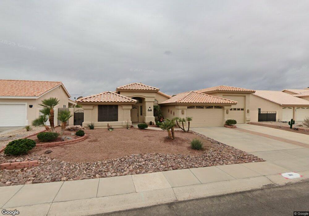
2098 Lariet Dr Bullhead, AZ 86442
Estimated Value: $384,280 - $458,000
--
Bed
1
Bath
1,769
Sq Ft
$239/Sq Ft
Est. Value
About This Home
This home is located at 2098 Lariet Dr, Bullhead, AZ 86442 and is currently estimated at $422,320, approximately $238 per square foot. 2098 Lariet Dr is a home located in Mohave County with nearby schools including Fort Mohave Elementary School, Camp Mohave Elementary School, and Mohave Valley Junior High School.
Ownership History
Date
Name
Owned For
Owner Type
Purchase Details
Closed on
Feb 11, 2009
Sold by
Rumberger Edward E and Rumberger Jolene
Bought by
Rumberger Edward E and Rumberger Jolene
Current Estimated Value
Purchase Details
Closed on
Jun 11, 1999
Sold by
Gray Delbert A
Bought by
Rumberger Edward E and Rumberger Jolene
Home Financials for this Owner
Home Financials are based on the most recent Mortgage that was taken out on this home.
Original Mortgage
$70,000
Interest Rate
7.64%
Mortgage Type
New Conventional
Purchase Details
Closed on
Jun 10, 1999
Sold by
Gray Valerie M
Bought by
Gray Delbert A
Home Financials for this Owner
Home Financials are based on the most recent Mortgage that was taken out on this home.
Original Mortgage
$70,000
Interest Rate
7.64%
Mortgage Type
New Conventional
Create a Home Valuation Report for This Property
The Home Valuation Report is an in-depth analysis detailing your home's value as well as a comparison with similar homes in the area
Home Values in the Area
Average Home Value in this Area
Purchase History
| Date | Buyer | Sale Price | Title Company |
|---|---|---|---|
| Rumberger Edward E | -- | None Available | |
| Rumberger Edward E | $126,000 | State Title Agency Inc | |
| Gray Delbert A | -- | -- |
Source: Public Records
Mortgage History
| Date | Status | Borrower | Loan Amount |
|---|---|---|---|
| Previous Owner | Rumberger Edward E | $70,000 |
Source: Public Records
Tax History Compared to Growth
Tax History
| Year | Tax Paid | Tax Assessment Tax Assessment Total Assessment is a certain percentage of the fair market value that is determined by local assessors to be the total taxable value of land and additions on the property. | Land | Improvement |
|---|---|---|---|---|
| 2026 | -- | -- | -- | -- |
| 2025 | $2,065 | $33,854 | $0 | $0 |
| 2024 | $2,065 | $37,850 | $0 | $0 |
| 2023 | $2,065 | $29,988 | $0 | $0 |
| 2022 | $1,989 | $24,054 | $0 | $0 |
| 2021 | $2,032 | $23,240 | $0 | $0 |
| 2019 | $1,903 | $20,895 | $0 | $0 |
| 2018 | $1,840 | $20,431 | $0 | $0 |
| 2017 | $1,791 | $19,456 | $0 | $0 |
| 2016 | $1,592 | $18,287 | $0 | $0 |
| 2015 | $1,531 | $17,417 | $0 | $0 |
Source: Public Records
Map
Nearby Homes
- 3752 Logans Ct
- 3770 Logans Ct
- 3772 Tomahawk Ln
- 3752 Rawhide Dr
- 3754 Mountain View Rd
- 2057 Jo Ann Ave
- 2024 Cactus Ct
- 2106 Shadow Canyon Dr
- 2032 Lariat Dr
- 2021 Corwin Rd
- 2041 Jo Ann Ave
- 2219 Bonanza Ct
- 2321 Jo Ann Ave
- 1919 Richardo Ave
- 2333 Raven Ct
- 2339 Joann Ave
- 2339 Raven Ct
- 2345 Joann Ave
- 2345 Raven Ct
- 1876 Gloria Ave
- 2098 Lariat Dr
- 2102 Lariat Dr
- 2094 Lariat Dr
- 2094 Lariat Dr
- 2094 Lariet Dr
- 3766 Logans Ct
- 2106 Lariat Dr
- 2040 Lariat Dr
- 0 Lariat Dr
- 2106 Lariat Dr
- 3770 Logan's Ct
- 2103 Lariat Dr
- 2097 Lariat Dr
- 2107 Lariat Dr
- 2143 Corwin Rd
- 2110 Lariat Dr
- 2097 Santa fe Dr
- 2097 Sante fe Dr
- 2097 Santa fe Dr
- 2131 Corwin Rd