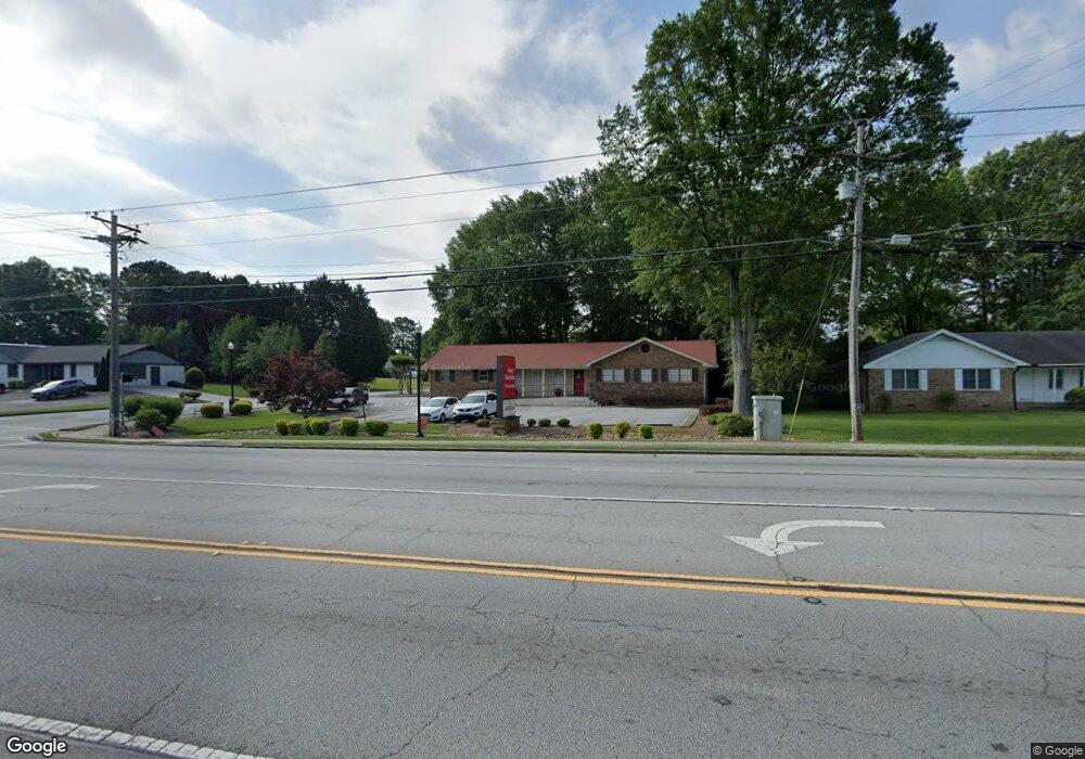
2098 Main St E Unit 2098 Snellville, GA 30078
Estimated Value: $343,881 - $344,000
3
Beds
2
Baths
2,054
Sq Ft
$167/Sq Ft
Est. Value
About This Home
This home is located at 2098 Main St E Unit 2098, Snellville, GA 30078 and is currently estimated at $343,941, approximately $167 per square foot. 2098 Main St E Unit 2098 is a home located in Gwinnett County with nearby schools including Britt Elementary School, Snellville Middle School, and South Gwinnett High School.
Ownership History
Date
Name
Owned For
Owner Type
Purchase Details
Closed on
Jan 3, 2014
Sold by
Opg One Llc
Bought by
Batchelor Brad P
Current Estimated Value
Purchase Details
Closed on
Dec 17, 2007
Sold by
Walcott Colleen A
Bought by
Opg One Llc
Purchase Details
Closed on
Dec 28, 2004
Sold by
Lorenzo Carol L
Bought by
Walcott Colleen A
Home Financials for this Owner
Home Financials are based on the most recent Mortgage that was taken out on this home.
Original Mortgage
$28,950
Interest Rate
5.71%
Mortgage Type
Stand Alone Refi Refinance Of Original Loan
Create a Home Valuation Report for This Property
The Home Valuation Report is an in-depth analysis detailing your home's value as well as a comparison with similar homes in the area
Home Values in the Area
Average Home Value in this Area
Purchase History
| Date | Buyer | Sale Price | Title Company |
|---|---|---|---|
| Batchelor Brad P | $130,000 | -- | |
| Opg One Llc | $225,000 | -- | |
| Walcott Colleen A | $193,000 | -- |
Source: Public Records
Mortgage History
| Date | Status | Borrower | Loan Amount |
|---|---|---|---|
| Previous Owner | Walcott Colleen A | $28,950 |
Source: Public Records
Tax History Compared to Growth
Tax History
| Year | Tax Paid | Tax Assessment Tax Assessment Total Assessment is a certain percentage of the fair market value that is determined by local assessors to be the total taxable value of land and additions on the property. | Land | Improvement |
|---|---|---|---|---|
| 2024 | $4,465 | $139,520 | $51,240 | $88,280 |
| 2023 | $4,465 | $125,200 | $35,120 | $90,080 |
| 2022 | $3,736 | $116,400 | $41,600 | $74,800 |
| 2021 | $2,680 | $81,720 | $40,240 | $41,480 |
| 2020 | $3,186 | $81,720 | $40,240 | $41,480 |
| 2019 | $3,126 | $81,720 | $40,240 | $41,480 |
| 2018 | $2,018 | $52,000 | $36,000 | $16,000 |
| 2016 | $2,015 | $52,000 | $36,000 | $16,000 |
| 2015 | $2,824 | $73,134 | $43,554 | $29,580 |
| 2014 | $3,338 | $86,040 | $51,240 | $34,800 |
Source: Public Records
Map
Nearby Homes
- 2622 Abington Dr
- 2664 Abington Dr
- 2055 Hickory Station Cir
- 2676 Abington Dr
- 1935 Hickory Station Cir
- 2200 Hickory Station Cir
- 0 Wynship Ln Unit 14100365
- 2280 Hickory Station Cir
- 2059 Wicker Wood Way
- 1601 Rockdale Cir
- 2435 Hickory Station Cir
- 2560 Silver King Dr SW
- 2538 Kings Pistol Ct
- 2759 Odum St
- 2842 Sunrise Ridge Rd
- 2842 Sunrise Ridge Rd Unit LOT 31
- 2088 Brookhill Way SW Unit LOT 11
- 2088 Brookhill Way SW
- 2078 Brookhill Way SW
- 2108 Main St E
- 2603 Abilene Trail
- 2088 Main St E
- 2118 Main St E
- 2607 Abilene Trail SW
- 2611 Abilene Trail SW
- 2611 Abilene Trail
- 2064 Main St E
- 2634 Abington Dr
- 2616 Abilene Trail
- 2626 Abilene Trail
- 2615 Abilene Trail
- 2115 Main St E
- 2054 Main St E
- 2635 Cindy Ln Unit 1
- 2646 Abington Dr
- 2636 Abilene Trail
- 2110 Hickory Station Cir
- 2641 Abington Dr
- 2120 Hickory Station Cir