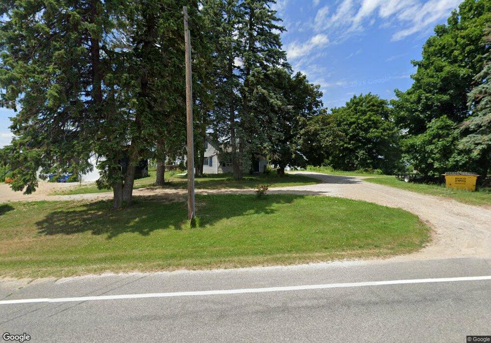
2098 W State Rd West Branch, MI 48661
Estimated Value: $141,000 - $189,000
2
Beds
1
Bath
1,057
Sq Ft
$150/Sq Ft
Est. Value
About This Home
This home is located at 2098 W State Rd, West Branch, MI 48661 and is currently estimated at $158,058, approximately $149 per square foot. 2098 W State Rd is a home located in Ogemaw County with nearby schools including Surline Elementary School, Surline Middle School, and Ogemaw Heights High School.
Ownership History
Date
Name
Owned For
Owner Type
Purchase Details
Closed on
Feb 14, 2013
Sold by
Pnc Bank
Bought by
Hopewell Daniel L and Hopewell Colleen
Current Estimated Value
Purchase Details
Closed on
Jul 19, 2012
Sold by
Pnc Bank
Bought by
Tripp Barbara and Tripp Barbara A
Purchase Details
Closed on
Aug 1, 1994
Bought by
Tripp Barbara
Create a Home Valuation Report for This Property
The Home Valuation Report is an in-depth analysis detailing your home's value as well as a comparison with similar homes in the area
Home Values in the Area
Average Home Value in this Area
Purchase History
| Date | Buyer | Sale Price | Title Company |
|---|---|---|---|
| Hopewell Daniel L | $30,000 | -- | |
| Tripp Barbara | $41,180 | -- | |
| Tripp Barbara | $43,500 | -- |
Source: Public Records
Tax History Compared to Growth
Tax History
| Year | Tax Paid | Tax Assessment Tax Assessment Total Assessment is a certain percentage of the fair market value that is determined by local assessors to be the total taxable value of land and additions on the property. | Land | Improvement |
|---|---|---|---|---|
| 2025 | $1,359 | $61,100 | $0 | $0 |
| 2024 | $7 | $59,300 | $0 | $0 |
| 2023 | $477 | $40,400 | $0 | $0 |
| 2022 | $927 | $37,200 | $0 | $0 |
| 2021 | $626 | $28,700 | $0 | $0 |
| 2020 | $646 | $27,500 | $0 | $0 |
| 2019 | $570 | $26,400 | $0 | $0 |
| 2018 | $557 | $26,100 | $0 | $0 |
| 2017 | $511 | $25,800 | $0 | $0 |
| 2016 | $505 | $25,600 | $0 | $0 |
| 2015 | $504 | $25,300 | $0 | $0 |
| 2014 | $237 | $23,700 | $0 | $0 |
Source: Public Records
Map
Nearby Homes
- 2249 W State Rd
- 2301 Birchcrest Dr
- 0 Fairview Rd Unit 1939430
- 2190 Fox Run
- 2249 Fox Run
- 268 Windemere Place Unit 14B
- 272 Windemere Place Unit 14A
- 195 Fremont St
- Parcel 1 M-76
- Parcel 2 M-76
- 240 N Burgess St
- 106 S Valley St
- 2371 Pilatus Ct
- 227 N 1st St
- 361 Irons Park Dr
- 324 N 4th St
- 2388 Dam Rd
- 0 Jonathan Ct Unit 11 1926460
- 0 Jonathan Ct Unit 12 1926461
- 0 Jonathan Ct Unit 1926470
- 2098 W State Rd
- 2118 W State Rd
- 2138 W State Rd
- 2133 W State Rd
- 2060 W State Rd
- 2113 W Finerty Rd
- 2024 W State Rd
- 2490 Finnerty Rd
- 1528 Dam Rd
- 66 Sand Trail
- 245 Hands Trail
- 1852 Dam Rd
- 1852 Dam Rd
- 0 S Cheyenne Ln Unit 1841168
- 0 S Cheyenne Ln Unit 1761757
- 0 S Cheyenne Ln Unit 1874697
- 0 S Cheyenne Ln Unit 1854273
- 1710 Nor Wyn Dr
- 1710 Nor Wyn Dr
- 1710 Nor Wyn Dr