2099 Huntsman Ct Unit 22 Cedar Springs, MI 49319
Estimated Value: $331,000 - $368,483
3
Beds
2
Baths
1,158
Sq Ft
$302/Sq Ft
Est. Value
About This Home
This home is located at 2099 Huntsman Ct Unit 22, Cedar Springs, MI 49319 and is currently estimated at $349,871, approximately $302 per square foot. 2099 Huntsman Ct Unit 22 is a home located in Kent County with nearby schools including Cedar Trails Elementary School, Red Hawk Intermediate School, and Beach Elementary School.
Ownership History
Date
Name
Owned For
Owner Type
Purchase Details
Closed on
Apr 28, 2003
Sold by
Wells Fargo Minnesota Na
Bought by
Snoeyink Mark S and Snoeyink Dawn
Current Estimated Value
Home Financials for this Owner
Home Financials are based on the most recent Mortgage that was taken out on this home.
Original Mortgage
$65,000
Outstanding Balance
$28,415
Interest Rate
5.87%
Mortgage Type
Purchase Money Mortgage
Estimated Equity
$321,456
Purchase Details
Closed on
May 6, 2000
Bought by
Kauranen Arthur H and Snoeyink Mark S
Purchase Details
Closed on
Apr 21, 2000
Bought by
Kauranen Arthur H and Snoeyink Mark S
Purchase Details
Closed on
Mar 4, 1999
Bought by
Kauranen Arthur H and Snoeyink Mark S
Create a Home Valuation Report for This Property
The Home Valuation Report is an in-depth analysis detailing your home's value as well as a comparison with similar homes in the area
Home Values in the Area
Average Home Value in this Area
Purchase History
| Date | Buyer | Sale Price | Title Company |
|---|---|---|---|
| Snoeyink Mark S | $129,900 | Fatic | |
| Kauranen Arthur H | $139,900 | -- | |
| Kauranen Arthur H | $24,000 | -- | |
| Kauranen Arthur H | $24,000 | -- |
Source: Public Records
Mortgage History
| Date | Status | Borrower | Loan Amount |
|---|---|---|---|
| Open | Snoeyink Mark S | $65,000 |
Source: Public Records
Tax History Compared to Growth
Tax History
| Year | Tax Paid | Tax Assessment Tax Assessment Total Assessment is a certain percentage of the fair market value that is determined by local assessors to be the total taxable value of land and additions on the property. | Land | Improvement |
|---|---|---|---|---|
| 2025 | $2,054 | $160,700 | $0 | $0 |
| 2024 | $2,054 | $154,300 | $0 | $0 |
| 2023 | $1,963 | $131,500 | $0 | $0 |
| 2022 | $2,118 | $113,800 | $0 | $0 |
| 2021 | $2,134 | $106,900 | $0 | $0 |
| 2020 | $1,876 | $100,100 | $0 | $0 |
| 2019 | $23,510 | $91,300 | $0 | $0 |
| 2018 | $2,043 | $88,700 | $0 | $0 |
| 2017 | $1,987 | $74,000 | $0 | $0 |
| 2016 | $1,912 | $70,600 | $0 | $0 |
| 2015 | -- | $70,600 | $0 | $0 |
| 2013 | -- | $65,400 | $0 | $0 |
Source: Public Records
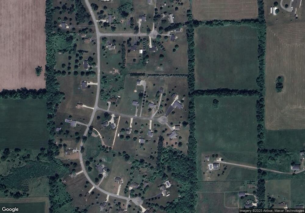
Map
Nearby Homes
- 16343 Trent Ridge Dr
- 2590 Recluse Dr
- 2217 Quarter Horse Dr NE Unit 27
- 2358 Quarter Horse Dr Unit 3
- 2103 Quarter Horse Dr NE
- 2329 Quarter Horse Dr NE Unit 35
- 2347 Quarter Horse Dr NE Unit 36
- The Taylor Plan at Saddlebrook - Hometown Series
- The Stockton Plan at Saddlebrook - Hometown Series
- The Stafford Plan at Saddlebrook - Hometown Series
- The Rowen Plan at Saddlebrook - Hometown Series
- The Mayfair Plan at Saddlebrook - Hometown Series
- The Brinley Plan at Saddlebrook - Hometown Series
- The Amber Plan at Saddlebrook - Hometown Series
- The Maxwell Plan at Saddlebrook - Americana Series
- The Wisteria Plan at Saddlebrook - Americana Series
- The Georgetown Plan at Saddlebrook - Hometown Series
- The Balsam Plan at Saddlebrook - Americana Series
- The Grayson Plan at Saddlebrook - Americana Series
- 2604 Wiersma St NE
- 2075 Huntsman Ct
- 2115 Huntsman Ct
- 2094 Huntsman Ct Unit 19
- 2078 Huntsman Ct
- 2110 Huntsman Ct Unit 20
- 2051 Huntsman Ct
- 2054 Huntsman Ct Unit 17
- 2100 Outback Ct Unit 7
- 16250 Outback Dr
- 0 Outback Dr Unit LOT K
- 6330 Outback Dr
- 2082 Outback Ct
- 2122 Outback Ct
- 2060 Outback Ct
- 16215 Outback Dr Unit 15
- 16187 Outback Dr Unit 16
- 16233 Outback Dr Unit 14
- 16155 Outback Dr
- 16030 Outback Dr Unit 33
- 16076 Outback Dr Unit 35