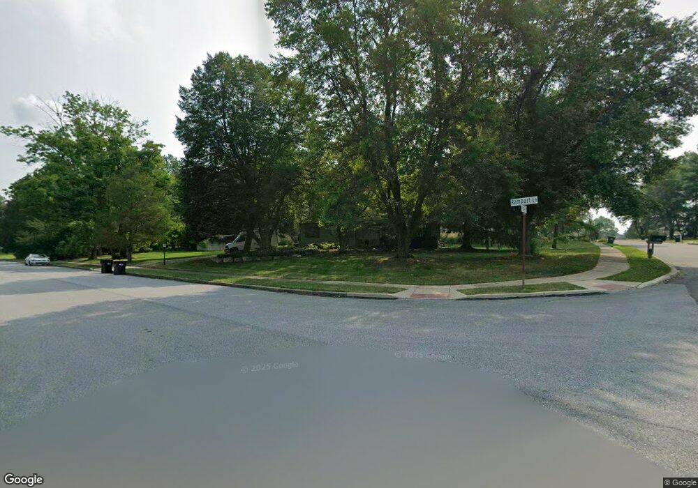
2099 Pheasant Hill Rd Lansdale, PA 19446
Estimated Value: $568,306 - $613,000
4
Beds
3
Baths
2,224
Sq Ft
$269/Sq Ft
Est. Value
About This Home
This home is located at 2099 Pheasant Hill Rd, Lansdale, PA 19446 and is currently estimated at $597,327, approximately $268 per square foot. 2099 Pheasant Hill Rd is a home located in Montgomery County with nearby schools including General Nash El School, Pennfield Middle School, and North Penn Senior High School.
Ownership History
Date
Name
Owned For
Owner Type
Purchase Details
Closed on
Oct 1, 2002
Sold by
Stoetzer David and Munjone Lea
Bought by
Stoetzer David and Munjone Lea
Current Estimated Value
Purchase Details
Closed on
Jun 5, 2000
Sold by
Doroba Richard and Bowman Doroba Stephanie
Bought by
Stoetzer David and Munjone Lea
Purchase Details
Closed on
Feb 18, 1998
Sold by
Doroba Richard and Bowman Doroba Stephanie
Bought by
Doroba Richard and Bowman Doroba Stephanie
Purchase Details
Closed on
Nov 15, 1994
Sold by
Runkle Carl U and Runkle Betty
Bought by
Doroba Richard
Create a Home Valuation Report for This Property
The Home Valuation Report is an in-depth analysis detailing your home's value as well as a comparison with similar homes in the area
Home Values in the Area
Average Home Value in this Area
Purchase History
| Date | Buyer | Sale Price | Title Company |
|---|---|---|---|
| Stoetzer David | -- | -- | |
| Stoetzer David | $219,000 | Stewart Title Guaranty Compa | |
| Doroba Richard | -- | -- | |
| Doroba Richard | $139,500 | -- |
Source: Public Records
Tax History Compared to Growth
Tax History
| Year | Tax Paid | Tax Assessment Tax Assessment Total Assessment is a certain percentage of the fair market value that is determined by local assessors to be the total taxable value of land and additions on the property. | Land | Improvement |
|---|---|---|---|---|
| 2025 | $6,184 | $152,650 | $54,740 | $97,910 |
| 2024 | $6,184 | $152,650 | $54,740 | $97,910 |
| 2023 | $5,922 | $152,650 | $54,740 | $97,910 |
| 2022 | $5,558 | $152,650 | $54,740 | $97,910 |
| 2021 | $5,397 | $152,650 | $54,740 | $97,910 |
| 2020 | $5,152 | $152,650 | $54,740 | $97,910 |
| 2019 | $5,063 | $152,650 | $54,740 | $97,910 |
| 2018 | $998 | $152,650 | $54,740 | $97,910 |
| 2017 | $4,861 | $152,650 | $54,740 | $97,910 |
| 2016 | $4,801 | $152,650 | $54,740 | $97,910 |
| 2015 | $4,601 | $152,650 | $54,740 | $97,910 |
| 2014 | $4,601 | $152,650 | $54,740 | $97,910 |
Source: Public Records
Map
Nearby Homes
- 1808 Beth Ln
- 109 Durham Ct
- 103 Newport Ct
- 111 Newport Ct
- 1653 Bridle Path Dr
- 578 Harrington Ct
- 1381 Village Way
- 1040 Hunter Hill Dr
- 172 Oberlin Terrace
- 2234 Locust Dr
- 144 Oberlin Terrace Unit 15-B
- 177 Oberlin Terrace Unit 18-L
- 210 Berwick Place Unit 20E
- 102 Ridgewood Way
- 2272 Locust Dr
- 108 Hickory Ct
- 1627 Clearbrook Rd
- 980 Jacks Ln
- 907A Stockton Ct
- 1207B Crosshill Ct
- 2093 Pheasant Hill Rd
- 2105 Pheasant Hill Rd
- 2087 Pheasant Hill Rd
- 1839 Rampart Ln
- 1798 Beth Ln
- 2100 Pheasant Hill Rd
- 2090 Pheasant Hill Rd
- 1810 Beth Ln
- 2084 Pheasant Hill Rd
- 1841 Rampart Ln
- 2113 Pheasant Hill Rd
- 2081 Pheasant Hill Rd
- 2108 Pheasant Hill Rd
- 2078 Pheasant Hill Rd
- 2116 Pheasant Hill Rd
- 2075 Pheasant Hill Rd
- 2121 Pheasant Hill Rd
- 1843 Rampart Ln
- 1806 Beth Ln
- 2072 Pheasant Hill Rd