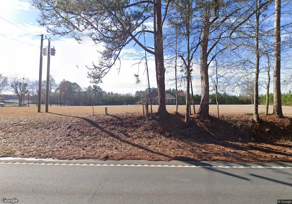
2099 Us Highway 80 E East Dublin, GA 31027
Estimated Value: $143,000 - $188,317
2
Beds
1
Bath
1,048
Sq Ft
$158/Sq Ft
Est. Value
About This Home
This home is located at 2099 Us Highway 80 E, East Dublin, GA 31027 and is currently estimated at $165,659, approximately $158 per square foot. 2099 Us Highway 80 E is a home located in Laurens County with nearby schools including Northwest Laurens Elementary School, Southwest Laurens Elementary School, and East Laurens Primary School.
Ownership History
Date
Name
Owned For
Owner Type
Purchase Details
Closed on
Dec 23, 2016
Sold by
Edwin Robert
Bought by
Daniels Robert Blake
Current Estimated Value
Purchase Details
Closed on
May 13, 2009
Sold by
Daniels Robert Edwin
Bought by
Daniels Robert Edwin and Daniels Robert Blake
Purchase Details
Closed on
Sep 18, 2001
Sold by
Daniels John R
Bought by
Daniels John R
Purchase Details
Closed on
Sep 9, 1909
Bought by
Daniels R Edwin
Create a Home Valuation Report for This Property
The Home Valuation Report is an in-depth analysis detailing your home's value as well as a comparison with similar homes in the area
Home Values in the Area
Average Home Value in this Area
Purchase History
| Date | Buyer | Sale Price | Title Company |
|---|---|---|---|
| Daniels Robert Blake | -- | -- | |
| Daniels Robert Edwin | -- | -- | |
| Daniels Robert Edwin | $75,000 | -- | |
| Daniels John R | -- | -- | |
| Daniels R Edwin | -- | -- |
Source: Public Records
Tax History Compared to Growth
Tax History
| Year | Tax Paid | Tax Assessment Tax Assessment Total Assessment is a certain percentage of the fair market value that is determined by local assessors to be the total taxable value of land and additions on the property. | Land | Improvement |
|---|---|---|---|---|
| 2024 | $315 | $53,273 | $53,273 | $0 |
| 2023 | $484 | $53,273 | $53,273 | $0 |
| 2022 | $456 | $50,903 | $50,903 | $0 |
| 2021 | $454 | $34,319 | $34,319 | $0 |
| 2020 | $442 | $34,319 | $34,319 | $0 |
| 2019 | $398 | $31,404 | $31,404 | $0 |
| 2018 | $387 | $31,404 | $31,404 | $0 |
| 2017 | $425 | $33,668 | $31,404 | $2,264 |
| 2016 | $386 | $36,869 | $34,605 | $2,264 |
| 2015 | $393 | $36,869 | $34,605 | $2,264 |
| 2014 | $373 | $25,032 | $22,866 | $2,166 |
Source: Public Records
Map
Nearby Homes
- 907 Orianna Rd
- 509 Maddox Rd
- NA Rd
- Pendleton Rreek Rd
- 117 Lovett Scott Rd
- 177 Lovett Scott Rd
- 0 Pendleton Creek Rd Unit SA340356
- 2373 U S 80
- 1739 Snellbridge Rd
- 529 Irish Lake Cir
- 527 Irish Lake Cir
- 0 Eugene Ward Rd Unit 10652768
- 0 Ralph Keen Rd Unit 21905127
- 859 Silver Rd
- 0 Mamie Graham Rd Unit 257372
- 0 Mamie Graham Rd Unit 10647192
- 0 Mamie Graham Rd Unit 30544
- 0 Poplar Springs Church Rd Unit 10557967
- 250 Archers Pond Smith Rd
- 0 Red Hill Cemetery Rd Unit 30103
- 2154 Us Hwy 80e
- 2119 Us Highway 80 E
- 2141 Us Highway 80 E
- 2141 Us Highway 80 E
- 2111 Us Highway 80 E
- 2154 U S 80
- 869 Orianna Rd
- 899 Orianna Rd
- 167 Keens Crossing Rd
- 1999 Us Highway 80 E
- 1999 Us Highway 80 E
- 887 Orianna Rd
- 2189 Us Highway 80 E
- 1977 Us Highway 80 E
- 1981 Us Highway 80 E
- 920 Orianna Rd
- 935 Orianna Rd
- 2205 Us Highway 80 E
- 931 Orianna Rd
- 1964 U S 80