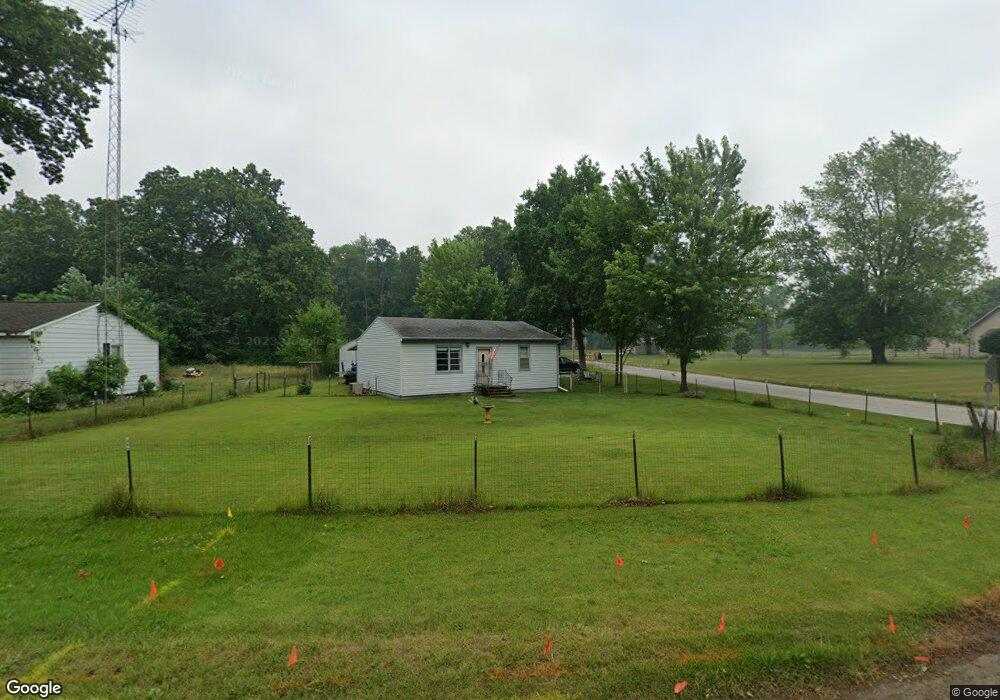
20993 8th Rd Plymouth, IN 46563
Estimated Value: $128,000 - $147,000
2
Beds
1
Bath
768
Sq Ft
$178/Sq Ft
Est. Value
About This Home
This home is located at 20993 8th Rd, Plymouth, IN 46563 and is currently estimated at $136,397, approximately $177 per square foot. 20993 8th Rd is a home located in Marshall County with nearby schools including Plymouth High School.
Ownership History
Date
Name
Owned For
Owner Type
Purchase Details
Closed on
Mar 9, 2009
Sold by
Joint Warren Joseph Mccullough and Rileyas Luella June
Bought by
Demis Robert A
Current Estimated Value
Purchase Details
Closed on
Feb 7, 2003
Sold by
Warren Mccullough and Warren Luella J
Bought by
Mccullough Warren and Mccullough Luella J
Purchase Details
Closed on
Jan 11, 2003
Sold by
The Warren Joseph Mccullough And Luella
Bought by
Demis Robert A
Create a Home Valuation Report for This Property
The Home Valuation Report is an in-depth analysis detailing your home's value as well as a comparison with similar homes in the area
Home Values in the Area
Average Home Value in this Area
Purchase History
| Date | Buyer | Sale Price | Title Company |
|---|---|---|---|
| Demis Robert A | $55,000 | Meridian Title Co | |
| Mccullough Warren | -- | -- | |
| Demis Robert A | -- | None Available |
Source: Public Records
Tax History Compared to Growth
Tax History
| Year | Tax Paid | Tax Assessment Tax Assessment Total Assessment is a certain percentage of the fair market value that is determined by local assessors to be the total taxable value of land and additions on the property. | Land | Improvement |
|---|---|---|---|---|
| 2024 | $201 | $97,500 | $30,900 | $66,600 |
| 2022 | $201 | $75,400 | $27,500 | $47,900 |
| 2021 | $72 | $61,500 | $21,200 | $40,300 |
| 2020 | $59 | $58,000 | $19,200 | $38,800 |
| 2019 | $42 | $55,900 | $18,500 | $37,400 |
| 2018 | $35 | $54,500 | $18,100 | $36,400 |
| 2017 | $31 | $54,300 | $18,100 | $36,200 |
| 2016 | $31 | $54,300 | $18,100 | $36,200 |
| 2014 | $8 | $50,000 | $17,300 | $32,700 |
Source: Public Records
Map
Nearby Homes
- 11538 E 400 N
- 20510 W 8th Rd
- 7640 Union Rd
- 11100 E 300 N
- 19547 Lincoln Hwy
- TBD E 550 N
- TBD 500 N
- 3935 N 950 E
- 19203 6th Rd
- 20906 S Lake Dr
- 00 S Lake Dr
- TBD S Lake Dr
- 20782 S Lake Dr
- TBD Beech Ave
- 11985 E South St
- 9774 Sycamore Rd
- Lot 10 Shipping Lane Dr W
- 20973 N Lake Dr
- 5099 Sage Rd
- 10959 E Tippecanoe Dr