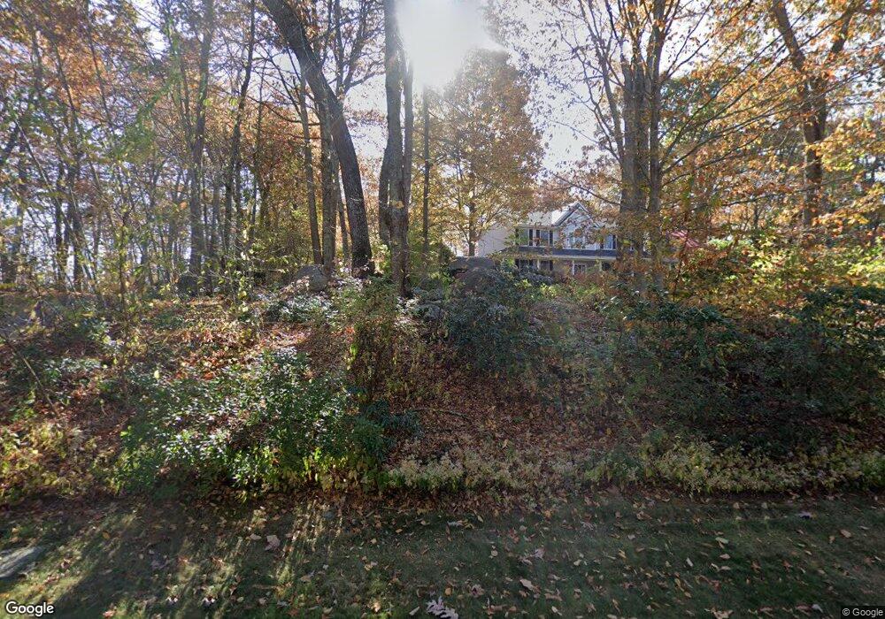
20B Doyle Rd Waterford, CT 06385
Estimated Value: $795,789 - $898,000
5
Beds
5
Baths
2,781
Sq Ft
$303/Sq Ft
Est. Value
About This Home
This home is located at 20B Doyle Rd, Waterford, CT 06385 and is currently estimated at $841,447, approximately $302 per square foot. 20B Doyle Rd is a home located in New London County with nearby schools including Clark Lane Middle School, Waterford High School, and New London High School Multi-Magnet Campus.
Ownership History
Date
Name
Owned For
Owner Type
Purchase Details
Closed on
Jun 30, 2006
Sold by
Greenwald Troy D
Bought by
Marrella Michael A and Marrella Nancy L
Current Estimated Value
Home Financials for this Owner
Home Financials are based on the most recent Mortgage that was taken out on this home.
Original Mortgage
$340,000
Interest Rate
6.58%
Mortgage Type
Purchase Money Mortgage
Purchase Details
Closed on
Dec 23, 1997
Sold by
Castle Hill Dev
Bought by
Hightower Matthew P
Create a Home Valuation Report for This Property
The Home Valuation Report is an in-depth analysis detailing your home's value as well as a comparison with similar homes in the area
Home Values in the Area
Average Home Value in this Area
Purchase History
| Date | Buyer | Sale Price | Title Company |
|---|---|---|---|
| Marrella Michael A | $576,000 | -- | |
| Hightower Matthew P | $325,000 | -- |
Source: Public Records
Mortgage History
| Date | Status | Borrower | Loan Amount |
|---|---|---|---|
| Open | Hightower Matthew P | $304,771 | |
| Closed | Hightower Matthew P | $340,000 | |
| Previous Owner | Hightower Matthew P | $60,000 |
Source: Public Records
Tax History
| Year | Tax Paid | Tax Assessment Tax Assessment Total Assessment is a certain percentage of the fair market value that is determined by local assessors to be the total taxable value of land and additions on the property. | Land | Improvement |
|---|---|---|---|---|
| 2025 | $10,013 | $428,620 | $87,480 | $341,140 |
| 2024 | $9,558 | $428,620 | $87,480 | $341,140 |
| 2023 | $9,087 | $428,620 | $87,480 | $341,140 |
| 2022 | $8,767 | $318,110 | $60,170 | $257,940 |
| 2021 | $8,793 | $318,110 | $60,170 | $257,940 |
| 2020 | $8,866 | $318,110 | $60,170 | $257,940 |
| 2019 | $8,901 | $318,110 | $60,170 | $257,940 |
| 2018 | $8,723 | $318,110 | $60,170 | $257,940 |
| 2017 | $8,530 | $315,570 | $61,980 | $253,590 |
| 2016 | $8,451 | $315,570 | $61,980 | $253,590 |
| 2015 | $8,151 | $315,570 | $61,980 | $253,590 |
| 2014 | $7,826 | $315,570 | $61,980 | $253,590 |
Source: Public Records
Map
Nearby Homes
- 6 Fulmore Dr
- 9 Arrowhead Trail
- 398 & 402 Boston Post Rd
- 398 Boston Post Rd
- 276 Niantic River Rd
- 310 Boston Post Rd Unit 76
- 310 Boston Post Rd Unit 152
- 20 North Rd
- 3 E Wood St
- 3 Springdale Rd
- 49 Cross Rd
- 47 Oswegatchie Hills Rd
- 163 Oswegatchie Rd
- 7 Point Comfort
- 52B Millstone Rd W
- 26 Beechwood Dr
- 22 Woodlawn Ave
- 12 Beechwood Dr
- 36 Sandy Hollow Dr
- 185 Main St Unit 301
Your Personal Tour Guide
Ask me questions while you tour the home.