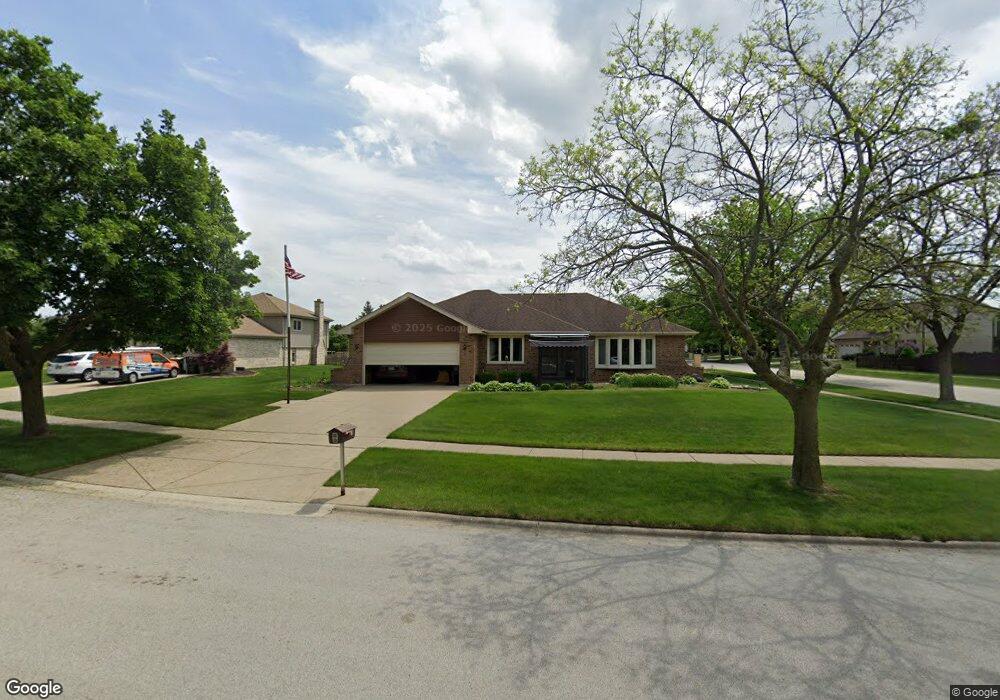
20W372 Rutgers Dr Downers Grove, IL 60516
South Woodridge NeighborhoodEstimated Value: $499,075 - $555,000
--
Bed
1
Bath
1,878
Sq Ft
$281/Sq Ft
Est. Value
About This Home
This home is located at 20W372 Rutgers Dr, Downers Grove, IL 60516 and is currently estimated at $528,269, approximately $281 per square foot. 20W372 Rutgers Dr is a home located in DuPage County with nearby schools including Oakwood School, River Valley School, and Old Quarry Middle School.
Ownership History
Date
Name
Owned For
Owner Type
Purchase Details
Closed on
Jun 27, 1997
Sold by
Debenny Joseph J and Debenny Kristen B
Bought by
Szafoni Eugene E and Szafoni Linda A
Current Estimated Value
Home Financials for this Owner
Home Financials are based on the most recent Mortgage that was taken out on this home.
Original Mortgage
$170,000
Outstanding Balance
$25,447
Interest Rate
8%
Estimated Equity
$502,822
Create a Home Valuation Report for This Property
The Home Valuation Report is an in-depth analysis detailing your home's value as well as a comparison with similar homes in the area
Home Values in the Area
Average Home Value in this Area
Purchase History
| Date | Buyer | Sale Price | Title Company |
|---|---|---|---|
| Szafoni Eugene E | $212,500 | Chicago Title Insurance Co |
Source: Public Records
Mortgage History
| Date | Status | Borrower | Loan Amount |
|---|---|---|---|
| Open | Szafoni Eugene E | $170,000 |
Source: Public Records
Tax History Compared to Growth
Tax History
| Year | Tax Paid | Tax Assessment Tax Assessment Total Assessment is a certain percentage of the fair market value that is determined by local assessors to be the total taxable value of land and additions on the property. | Land | Improvement |
|---|---|---|---|---|
| 2024 | $5,408 | $143,753 | $54,423 | $89,330 |
| 2023 | $7,073 | $132,150 | $50,030 | $82,120 |
| 2022 | $6,706 | $124,010 | $48,070 | $75,940 |
| 2021 | $5,620 | $122,600 | $47,520 | $75,080 |
| 2020 | $6,375 | $120,170 | $46,580 | $73,590 |
| 2019 | $6,069 | $115,300 | $44,690 | $70,610 |
| 2018 | $4,873 | $110,250 | $44,460 | $65,790 |
| 2017 | $5,668 | $106,090 | $42,780 | $63,310 |
| 2016 | $6,728 | $116,360 | $40,830 | $75,530 |
| 2015 | $6,247 | $109,470 | $38,410 | $71,060 |
| 2014 | $6,205 | $106,440 | $37,350 | $69,090 |
| 2013 | $5,857 | $105,940 | $37,170 | $68,770 |
Source: Public Records
Map
Nearby Homes
- 10S241 Wallace Dr
- 8843 Oxford St
- 9014 Gloucester Rd
- 9005 Gloucester Rd
- 3145 Hillside Ln
- Fremont Plan at Farmingdale Village
- Eden Plan at Farmingdale Village
- Danbury Plan at Farmingdale Village
- Calysta Plan at Farmingdale Village
- Briarcliffe Plan at Farmingdale Village
- Amberwood Plan at Farmingdale Village
- 2845 87th St
- 9032 Lemont Rd
- 8551 Sperry Ct
- 8498 Cornelia Ln
- Danbury II Plan at The Townes at Farmingdale
- Brighton Plan at The Townes at Farmingdale
- Braeden Plan at The Townes at Farmingdale
- Campbell Plan at The Townes at Farmingdale
- 8497 Liberty Ln
- 20W321 Rutgers Dr
- 1350 Rutgers Dr
- 20W362 Rutgers Dr
- 20W380 Rutgers Dr
- 1335 Hastings Rd
- 1345 Hastings Rd
- 20W371 Rutgers Dr
- 1355 Hastings Rd
- 1325 Hastings Rd
- 20W361 Rutgers Dr
- 1361 Hastings Rd
- 1294 Rutgers Dr
- 10S424 Havens Dr
- 20W351 Rutgers Dr
- 10S416 Havens Dr
- 1291 Hastings Rd
- 10S410 Havens Dr
- 10S446 Havens Dr
- 1340 Hastings Rd
- 8896 Vail Ln