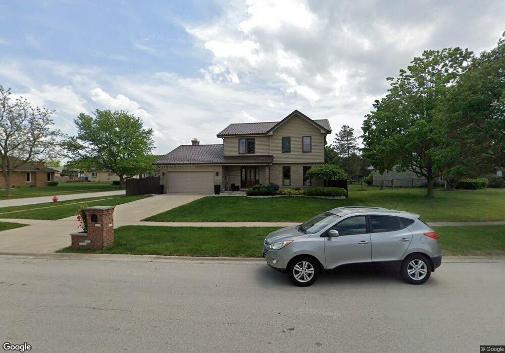
20W511 Rutgers Dr Downers Grove, IL 60516
South Woodridge NeighborhoodEstimated Value: $519,808 - $614,000
--
Bed
1
Bath
1,910
Sq Ft
$292/Sq Ft
Est. Value
About This Home
This home is located at 20W511 Rutgers Dr, Downers Grove, IL 60516 and is currently estimated at $556,952, approximately $291 per square foot. 20W511 Rutgers Dr is a home located in DuPage County with nearby schools including Oakwood School, River Valley School, and Old Quarry Middle School.
Ownership History
Date
Name
Owned For
Owner Type
Purchase Details
Closed on
Oct 31, 2005
Sold by
Flynn Daniel W and Flynn Marge E
Bought by
Marij Robert and Marij Katarzyna
Current Estimated Value
Home Financials for this Owner
Home Financials are based on the most recent Mortgage that was taken out on this home.
Original Mortgage
$268,000
Outstanding Balance
$99,955
Interest Rate
1%
Mortgage Type
Negative Amortization
Estimated Equity
$456,997
Create a Home Valuation Report for This Property
The Home Valuation Report is an in-depth analysis detailing your home's value as well as a comparison with similar homes in the area
Home Values in the Area
Average Home Value in this Area
Purchase History
| Date | Buyer | Sale Price | Title Company |
|---|---|---|---|
| Marij Robert | $335,000 | Multiple |
Source: Public Records
Mortgage History
| Date | Status | Borrower | Loan Amount |
|---|---|---|---|
| Open | Marij Robert | $268,000 |
Source: Public Records
Tax History Compared to Growth
Tax History
| Year | Tax Paid | Tax Assessment Tax Assessment Total Assessment is a certain percentage of the fair market value that is determined by local assessors to be the total taxable value of land and additions on the property. | Land | Improvement |
|---|---|---|---|---|
| 2024 | $6,059 | $155,327 | $56,772 | $98,555 |
| 2023 | $7,972 | $142,790 | $52,190 | $90,600 |
| 2022 | $7,554 | $137,160 | $50,130 | $87,030 |
| 2021 | $6,334 | $135,600 | $49,560 | $86,040 |
| 2020 | $7,234 | $129,880 | $48,580 | $81,300 |
| 2019 | $6,903 | $124,620 | $46,610 | $78,010 |
| 2018 | $5,412 | $116,220 | $46,320 | $69,900 |
| 2017 | $6,308 | $111,830 | $44,570 | $67,260 |
| 2016 | $7,457 | $122,780 | $42,540 | $80,240 |
| 2015 | $6,947 | $115,510 | $40,020 | $75,490 |
| 2014 | $6,912 | $112,310 | $38,910 | $73,400 |
| 2013 | $6,527 | $111,790 | $38,730 | $73,060 |
Source: Public Records
Map
Nearby Homes
- 10S241 Wallace Dr
- 8843 Oxford St
- 9014 Gloucester Rd
- 9005 Gloucester Rd
- 3145 Hillside Ln
- 8551 Sperry Ct
- Fremont Plan at Farmingdale Village
- Eden Plan at Farmingdale Village
- Danbury Plan at Farmingdale Village
- Calysta Plan at Farmingdale Village
- Briarcliffe Plan at Farmingdale Village
- Amberwood Plan at Farmingdale Village
- 8498 Cornelia Ln
- 1850 Fulton St
- 1846 Fulton St
- 8538 Sperry Ct
- 1858 Fulton St
- 8537 Chadwick Ct
- 8530 Sperry Ct
- 8541 Chadwick Ct
- 20W354 Rutgers Dr
- 20W531 Rutgers Dr
- 10S450 Thames Dr
- 20W481 Rutgers Dr
- 10S451 Dunham Dr
- 10S447 Thames Dr
- 10S460 Thames Dr
- 20W480 Rutgers Dr
- 10S457 Thames Dr
- 20W471 Rutgers Dr
- 20W470 Rutgers Dr
- 10S461 Dunham Dr
- 10S470 Thames Dr
- 10S467 Thames Dr
- 10S471 Dunham Dr
- 10s Dunham Rd
- 10S436 Dunham Dr
- 20W460 Rutgers Dr
- 10S448 Rutgers Ct
- 10S446 Dunham Dr