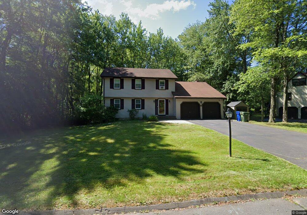
21 Adam Hill Rd Windsor, CT 06095
Estimated Value: $396,699 - $452,000
5
Beds
3
Baths
1,978
Sq Ft
$215/Sq Ft
Est. Value
About This Home
This home is located at 21 Adam Hill Rd, Windsor, CT 06095 and is currently estimated at $426,175, approximately $215 per square foot. 21 Adam Hill Rd is a home located in Hartford County with nearby schools including Oliver Ellsworth School, John F. Kennedy School, and Sage Park Middle School.
Ownership History
Date
Name
Owned For
Owner Type
Purchase Details
Closed on
Jun 19, 2017
Sold by
Lappen Matthew and Snodgrass Tricia
Bought by
Delvalle Josue and Delvalle Johanna
Current Estimated Value
Home Financials for this Owner
Home Financials are based on the most recent Mortgage that was taken out on this home.
Original Mortgage
$278,806
Outstanding Balance
$231,351
Interest Rate
4.02%
Mortgage Type
FHA
Estimated Equity
$194,824
Purchase Details
Closed on
Jan 7, 2010
Sold by
Snodgrass Tricia
Bought by
Snodgrass Michael
Purchase Details
Closed on
Oct 20, 2008
Sold by
Simoni Leonard and Simoni Diana
Bought by
Snodgrass Tricia and Snodgrass Michael
Create a Home Valuation Report for This Property
The Home Valuation Report is an in-depth analysis detailing your home's value as well as a comparison with similar homes in the area
Home Values in the Area
Average Home Value in this Area
Purchase History
| Date | Buyer | Sale Price | Title Company |
|---|---|---|---|
| Delvalle Josue | $269,900 | -- | |
| Snodgrass Michael | -- | -- | |
| Snodgrass Tricia | $268,750 | -- |
Source: Public Records
Mortgage History
| Date | Status | Borrower | Loan Amount |
|---|---|---|---|
| Open | Snodgrass Tricia | $278,806 | |
| Previous Owner | Snodgrass Tricia | $216,000 | |
| Previous Owner | Snodgrass Tricia | $53,750 |
Source: Public Records
Tax History Compared to Growth
Tax History
| Year | Tax Paid | Tax Assessment Tax Assessment Total Assessment is a certain percentage of the fair market value that is determined by local assessors to be the total taxable value of land and additions on the property. | Land | Improvement |
|---|---|---|---|---|
| 2025 | $6,452 | $226,800 | $66,220 | $160,580 |
| 2024 | $6,877 | $226,800 | $66,220 | $160,580 |
| 2023 | $5,301 | $157,780 | $52,500 | $105,280 |
| 2022 | $5,249 | $157,780 | $52,500 | $105,280 |
| 2021 | $5,249 | $157,780 | $52,500 | $105,280 |
| 2020 | $5,224 | $157,780 | $52,500 | $105,280 |
| 2019 | $5,109 | $157,780 | $52,500 | $105,280 |
| 2018 | $4,984 | $151,200 | $52,500 | $98,700 |
| 2017 | $4,895 | $150,850 | $52,500 | $98,350 |
| 2016 | $4,700 | $149,100 | $52,500 | $96,600 |
| 2015 | $4,610 | $149,100 | $52,500 | $96,600 |
| 2014 | $4,543 | $149,100 | $52,500 | $96,600 |
Source: Public Records
Map
Nearby Homes
- 94 Clubhouse Rd
- 15 Clubhouse Rd
- 39 Warham St
- 319 Dunfey Ln Unit 319
- 5 Hudson Ln Unit 5
- 501 Kennedy Rd
- 17 Box Turtle Ln
- 490 Old Day Hill Rd
- 118 Maple Ave
- 30 Parkwood Dr
- 16 Brown Ave
- 60 Filley St
- 31 Parkwood Dr
- 1999 Poquonock Ave
- 55 Foster Ln
- 9 Milo Peck Ln
- 26 Cook Hill Rd
- 680 Kennedy Rd
- 318 Capen St
- 342 Capen St