21 Adams Dr Denville, NJ 07834
Estimated Value: $585,807 - $718,000
--
Bed
--
Bath
1,805
Sq Ft
$365/Sq Ft
Est. Value
About This Home
This home is located at 21 Adams Dr, Denville, NJ 07834 and is currently estimated at $658,452, approximately $364 per square foot. 21 Adams Dr is a home located in Morris County with nearby schools including Lakeview Elementary School and Valleyview Middle School.
Ownership History
Date
Name
Owned For
Owner Type
Purchase Details
Closed on
Nov 1, 2007
Sold by
Mitchko Edward S and Mitchko Joanne
Bought by
Wever John Christopher and Chadwick Wever Danielle
Current Estimated Value
Home Financials for this Owner
Home Financials are based on the most recent Mortgage that was taken out on this home.
Original Mortgage
$345,000
Interest Rate
6.3%
Mortgage Type
Purchase Money Mortgage
Purchase Details
Closed on
Apr 26, 2002
Sold by
Mobility Cendant
Bought by
Mitchko Edward and Mitchko Joanne
Home Financials for this Owner
Home Financials are based on the most recent Mortgage that was taken out on this home.
Original Mortgage
$180,000
Interest Rate
7.18%
Purchase Details
Closed on
Feb 4, 2002
Sold by
Moss Terrance
Bought by
Mobility Cendant
Create a Home Valuation Report for This Property
The Home Valuation Report is an in-depth analysis detailing your home's value as well as a comparison with similar homes in the area
Home Values in the Area
Average Home Value in this Area
Purchase History
| Date | Buyer | Sale Price | Title Company |
|---|---|---|---|
| Wever John Christopher | $445,000 | None Available | |
| Mitchko Edward | $314,500 | -- | |
| Mobility Cendant | $314,500 | -- |
Source: Public Records
Mortgage History
| Date | Status | Borrower | Loan Amount |
|---|---|---|---|
| Previous Owner | Wever John Christopher | $345,000 | |
| Previous Owner | Mitchko Edward | $180,000 |
Source: Public Records
Tax History Compared to Growth
Tax History
| Year | Tax Paid | Tax Assessment Tax Assessment Total Assessment is a certain percentage of the fair market value that is determined by local assessors to be the total taxable value of land and additions on the property. | Land | Improvement |
|---|---|---|---|---|
| 2025 | $8,695 | $315,500 | $156,800 | $158,700 |
| 2024 | $8,345 | $315,500 | $156,800 | $158,700 |
| 2023 | $8,345 | $315,500 | $156,800 | $158,700 |
| 2022 | $7,992 | $315,500 | $156,800 | $158,700 |
| 2021 | $7,992 | $315,500 | $156,800 | $158,700 |
| 2020 | $7,925 | $315,500 | $156,800 | $158,700 |
| 2019 | $7,843 | $315,500 | $156,800 | $158,700 |
| 2018 | $7,771 | $315,500 | $156,800 | $158,700 |
| 2017 | $7,708 | $315,500 | $156,800 | $158,700 |
| 2016 | $7,528 | $315,500 | $156,800 | $158,700 |
| 2015 | $8,184 | $262,400 | $118,600 | $143,800 |
| 2014 | $8,022 | $262,400 | $118,600 | $143,800 |
Source: Public Records
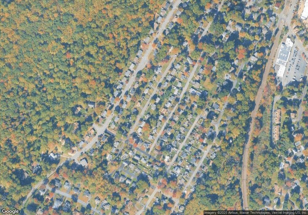
Map
Nearby Homes
- 12 Weetucket Rd
- 17 Freeman Ave
- 25 Freeman Ave
- 31 Station Rd
- 1466 Tabor Rd
- 2 Castaby Way
- 26 Wesley Place
- 15 Force Place
- 78 North Place
- 27 Thurmont Rd
- 18 Birch Run Ave
- 41 Fox Run
- 5 Seminole Trail
- 43 Indian Spring Trail
- 4 Longview Trail W
- 133 E Shore Rd
- 102 E Shore Rd
- 62 Fernview Rd
- 20 Whitewood Dr
- 42 Flintlock Rd