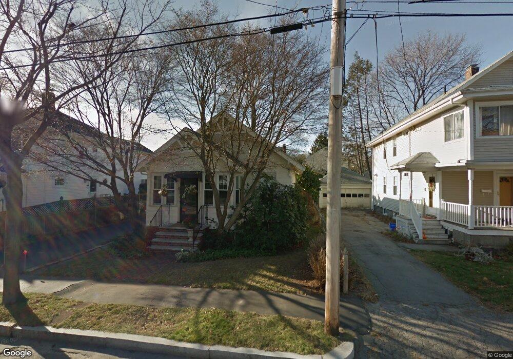
21 Albany St Quincy, MA 02170
West Quincy NeighborhoodEstimated Value: $614,000 - $705,000
3
Beds
1
Bath
1,000
Sq Ft
$662/Sq Ft
Est. Value
About This Home
This home is located at 21 Albany St, Quincy, MA 02170 and is currently estimated at $661,608, approximately $661 per square foot. 21 Albany St is a home located in Norfolk County with nearby schools including Wollaston School, Central Middle School, and North Quincy High School.
Ownership History
Date
Name
Owned For
Owner Type
Purchase Details
Closed on
Aug 1, 1975
Bought by
Tevenan Francis E
Current Estimated Value
Create a Home Valuation Report for This Property
The Home Valuation Report is an in-depth analysis detailing your home's value as well as a comparison with similar homes in the area
Home Values in the Area
Average Home Value in this Area
Purchase History
| Date | Buyer | Sale Price | Title Company |
|---|---|---|---|
| Tevenan Francis E | -- | -- |
Source: Public Records
Mortgage History
| Date | Status | Borrower | Loan Amount |
|---|---|---|---|
| Open | Tevenan Francis E | $100,000 | |
| Closed | Tevenan Francis E | $65,000 | |
| Closed | Tevenan Francis E | $45,000 |
Source: Public Records
Tax History Compared to Growth
Tax History
| Year | Tax Paid | Tax Assessment Tax Assessment Total Assessment is a certain percentage of the fair market value that is determined by local assessors to be the total taxable value of land and additions on the property. | Land | Improvement |
|---|---|---|---|---|
| 2025 | $6,400 | $555,100 | $331,300 | $223,800 |
| 2024 | $6,171 | $547,600 | $331,300 | $216,300 |
| 2023 | $5,942 | $533,900 | $315,500 | $218,400 |
| 2022 | $5,777 | $482,200 | $274,400 | $207,800 |
| 2021 | $5,457 | $449,500 | $261,300 | $188,200 |
| 2020 | $5,289 | $425,500 | $261,300 | $164,200 |
| 2019 | $4,984 | $397,100 | $244,200 | $152,900 |
| 2018 | $4,912 | $368,200 | $226,100 | $142,100 |
| 2017 | $4,831 | $340,900 | $215,400 | $125,500 |
| 2016 | $4,401 | $306,500 | $187,300 | $119,200 |
| 2015 | $4,050 | $277,400 | $170,300 | $107,100 |
| 2014 | $3,856 | $259,500 | $162,100 | $97,400 |
Source: Public Records
Map
Nearby Homes
- 171 Milton St
- 11 Rockwell Ave
- 129-131 Pine St
- 169 Pine St
- 121 Hillside Ave
- 60 Pond St
- 41 Wallace Rd
- 10 White St
- 51 Denmark Ave
- 73 Connell St
- 45 Marion St
- 323 Farrington St
- 250 Fayette St
- 143 Arlington St
- 66 Unity St
- 89 Puritan Dr
- 100 Grandview Ave Unit 11A
- 111 Warren Ave Unit 1F
- 55 Christopher Dr
- 465 Newport Ave