21 Alice Ave Prudence Island, RI 02872
Prudence Island NeighborhoodEstimated Value: $275,518 - $519,000
1
Bed
1
Bath
686
Sq Ft
$555/Sq Ft
Est. Value
About This Home
This home is located at 21 Alice Ave, Prudence Island, RI 02872 and is currently estimated at $380,630, approximately $554 per square foot. 21 Alice Ave is a home located in Newport County with nearby schools including Portsmouth High School.
Ownership History
Date
Name
Owned For
Owner Type
Purchase Details
Closed on
Jul 12, 2001
Sold by
Barney Lydia E
Bought by
Hammann Donna J and Bullard Joseph R
Current Estimated Value
Home Financials for this Owner
Home Financials are based on the most recent Mortgage that was taken out on this home.
Original Mortgage
$68,000
Outstanding Balance
$26,320
Interest Rate
7.2%
Mortgage Type
Purchase Money Mortgage
Estimated Equity
$354,310
Create a Home Valuation Report for This Property
The Home Valuation Report is an in-depth analysis detailing your home's value as well as a comparison with similar homes in the area
Home Values in the Area
Average Home Value in this Area
Purchase History
| Date | Buyer | Sale Price | Title Company |
|---|---|---|---|
| Hammann Donna J | $85,500 | -- |
Source: Public Records
Mortgage History
| Date | Status | Borrower | Loan Amount |
|---|---|---|---|
| Open | Hammann Donna J | $68,000 |
Source: Public Records
Tax History Compared to Growth
Tax History
| Year | Tax Paid | Tax Assessment Tax Assessment Total Assessment is a certain percentage of the fair market value that is determined by local assessors to be the total taxable value of land and additions on the property. | Land | Improvement |
|---|---|---|---|---|
| 2025 | $2,656 | $200,000 | $93,800 | $106,200 |
| 2024 | $2,636 | $200,000 | $93,800 | $106,200 |
| 2023 | $2,556 | $200,000 | $93,800 | $106,200 |
| 2022 | $2,424 | $155,800 | $75,100 | $80,700 |
| 2021 | $2,385 | $155,800 | $75,100 | $80,700 |
| 2020 | $2,348 | $155,800 | $75,100 | $80,700 |
| 2019 | $2,509 | $153,000 | $81,900 | $71,100 |
| 2018 | $2,443 | $153,000 | $81,900 | $71,100 |
| 2017 | $2,359 | $153,000 | $81,900 | $71,100 |
| 2016 | $2,269 | $141,800 | $81,900 | $59,900 |
| 2015 | $2,240 | $141,800 | $81,900 | $59,900 |
| 2014 | $2,240 | $141,800 | $81,900 | $59,900 |
Source: Public Records
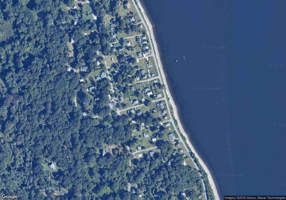
Map
Nearby Homes
- 125 Homestead Ave
- 0 Governor Paine Rd
- 33 Alden Ave
- 272 Carnegie Harbor Dr
- 178 Carnegie Harbor Dr
- 1 Tower Dr Unit 1106
- 1 Tower Dr Unit 1203
- 1 Tower Dr Unit 302
- 1 Tower Dr Unit 101
- 1 Tower Dr Unit 1806
- 1 Tower Dr Unit 406
- 1 Tower Dr Unit 1201
- 59 Carnegie Harbor Dr
- 4 Lookout Ln Unit 1
- 4 Lookout Ln
- 12 Lookout Ln
- 12 Lookout Ln Unit 3
- 0 Willow Ln Unit Leeward A
- 0 Willow Ln Unit Leeward B
- 44 Wimbledon Cir
- 29 Alice Ave
- 11 Alice Ave
- 22 Holbrook Ave
- 14 Holbrook Ave
- 24 Alice Ave
- 075 Alice Ave
- 30 Holbrook Ave
- 12 Alice Ave
- 1010 Narragansett Ave
- 36 Alice Ave
- 1010 Narragansett Ave
- 0 Holbrook Ave Unit 632821
- 0 Holbrook Ave Unit 618645
- 0 Holbrook Ave Unit 501407
- 0 Holbrook Ave Unit 1364901
- 0 Holbrook Ave Unit 1316212
- 0 Holbrook Ave Unit 981244
- 0 Holbrook Ave Unit 1068979
- 0 Holbrook Ave Unit 1154408
- 0 Holbrook Ave Unit 131622