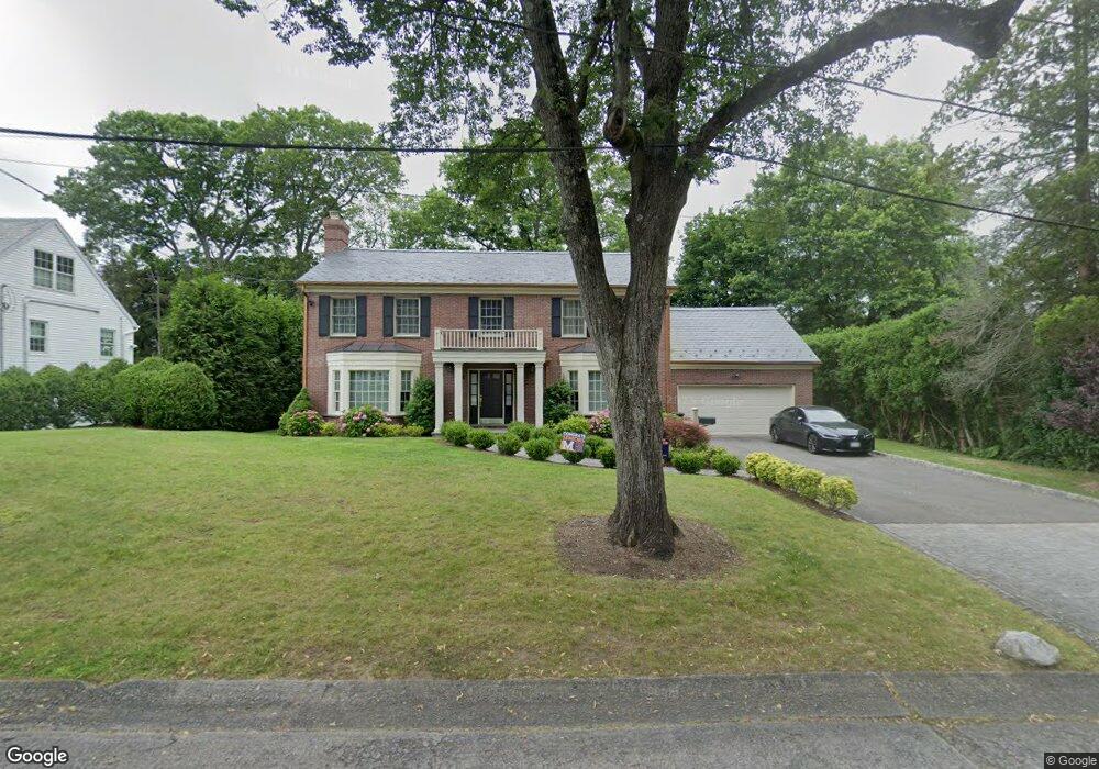
21 Allston Place Manhasset, NY 11030
Munsey Park NeighborhoodEstimated Value: $2,775,771
5
Beds
3
Baths
4,008
Sq Ft
$693/Sq Ft
Est. Value
About This Home
This home is located at 21 Allston Place, Manhasset, NY 11030 and is currently estimated at $2,775,771, approximately $692 per square foot. 21 Allston Place is a home located in Nassau County with nearby schools including Manhasset Secondary School, Buckley Country Day School, and Henry Viscardi School.
Ownership History
Date
Name
Owned For
Owner Type
Purchase Details
Closed on
Apr 3, 2017
Sold by
Martin Jeanine
Bought by
Qu Jerry and Zhang Wenfang
Current Estimated Value
Home Financials for this Owner
Home Financials are based on the most recent Mortgage that was taken out on this home.
Original Mortgage
$147,500
Outstanding Balance
$122,742
Interest Rate
4.21%
Mortgage Type
Credit Line Revolving
Estimated Equity
$2,653,029
Create a Home Valuation Report for This Property
The Home Valuation Report is an in-depth analysis detailing your home's value as well as a comparison with similar homes in the area
Home Values in the Area
Average Home Value in this Area
Purchase History
| Date | Buyer | Sale Price | Title Company |
|---|---|---|---|
| Qu Jerry | $1,355,000 | Franklin Land Services Inc |
Source: Public Records
Mortgage History
| Date | Status | Borrower | Loan Amount |
|---|---|---|---|
| Open | Qu Jerry | $147,500 |
Source: Public Records
Tax History Compared to Growth
Tax History
| Year | Tax Paid | Tax Assessment Tax Assessment Total Assessment is a certain percentage of the fair market value that is determined by local assessors to be the total taxable value of land and additions on the property. | Land | Improvement |
|---|---|---|---|---|
| 2025 | $19,699 | $1,764 | $737 | $1,027 |
| 2024 | $4,870 | $1,833 | $765 | $1,068 |
| 2023 | $15,964 | $2,082 | $869 | $1,213 |
| 2022 | $15,964 | $2,476 | $1,034 | $1,442 |
| 2021 | $18,578 | $2,134 | $947 | $1,187 |
| 2020 | $24,244 | $2,250 | $2,249 | $1 |
| 2019 | $17,920 | $2,250 | $2,249 | $1 |
| 2018 | $17,920 | $2,250 | $0 | $0 |
| 2017 | $11,640 | $2,250 | $2,249 | $1 |
| 2016 | $17,197 | $2,250 | $2,249 | $1 |
| 2015 | $5,290 | $2,250 | $1,969 | $281 |
| 2014 | $5,290 | $2,250 | $1,969 | $281 |
| 2013 | $5,044 | $2,250 | $1,968 | $282 |
Source: Public Records
Map
Nearby Homes
- 20 Mill Spring Rd
- 57 Aldershot Ln
- 183 Mill Spring Rd
- 50 Eakins Rd
- 74 Eakins Rd
- 189 Trumbull Rd
- 53 Eakins Rd
- 44 Mountain Cut
- 112 Chapel Rd
- 8 Deepdale Dr
- 24 Old Estate Rd
- 10 Soundview Crest
- 60 Thayer Rd
- 272 Crabapple Rd
- 25 The Oaks
- 39 Bluebird Hill Ct
- 14 Nightingale Ct
- 45 Mason Dr
- 15 The Oaks
- 69 Mason Dr
- 29 Allston Place
- 19 Sargent Place
- 229 Abbey Rd
- 11 Sargent Place
- 27 Sargent Place
- 5 Sargent Place
- 14 Sargent Place
- 20 Sargent Place
- 6 Sargent Place
- 26 Sargent Place
- 214 Abbey Rd
- 234 Abbey Rd
- 80 Remington Rd
- 259 Old Mill Rd
- 267 Old Mill Rd
- 251 Old Mill Rd
- 275 Old Mill Rd
- 92 Remington Rd
- 245 Old Mill Rd