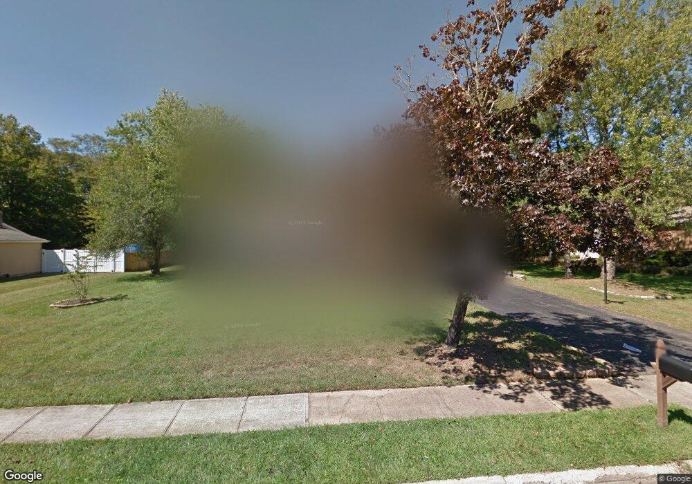
21 Andrews Ct Freehold, NJ 07728
Estimated Value: $801,000 - $827,000
4
Beds
3
Baths
2,246
Sq Ft
$364/Sq Ft
Est. Value
About This Home
This home is located at 21 Andrews Ct, Freehold, NJ 07728 and is currently estimated at $816,868, approximately $363 per square foot. 21 Andrews Ct is a home located in Monmouth County with nearby schools including Laura Donovan Elementary School, Clifton T. Barkalow Middle School, and Freehold Township High School.
Ownership History
Date
Name
Owned For
Owner Type
Purchase Details
Closed on
Dec 16, 2011
Sold by
Miller Robert J
Bought by
Naspo Christopher B and Naspo Lynda M
Current Estimated Value
Home Financials for this Owner
Home Financials are based on the most recent Mortgage that was taken out on this home.
Original Mortgage
$346,500
Outstanding Balance
$236,916
Interest Rate
4%
Mortgage Type
New Conventional
Estimated Equity
$579,952
Purchase Details
Closed on
Jun 10, 2011
Sold by
Polotti Charles F
Bought by
Miller Robert J
Purchase Details
Closed on
Dec 19, 1994
Sold by
Ursino Dominick
Bought by
Polotti Charles and Polotti Susan
Home Financials for this Owner
Home Financials are based on the most recent Mortgage that was taken out on this home.
Original Mortgage
$160,000
Interest Rate
9.03%
Create a Home Valuation Report for This Property
The Home Valuation Report is an in-depth analysis detailing your home's value as well as a comparison with similar homes in the area
Home Values in the Area
Average Home Value in this Area
Purchase History
| Date | Buyer | Sale Price | Title Company |
|---|---|---|---|
| Naspo Christopher B | $385,000 | None Available | |
| Miller Robert J | $283,000 | Multiple | |
| Polotti Charles | $217,500 | -- |
Source: Public Records
Mortgage History
| Date | Status | Borrower | Loan Amount |
|---|---|---|---|
| Open | Naspo Christopher B | $346,500 | |
| Previous Owner | Polotti Charles | $160,000 |
Source: Public Records
Tax History Compared to Growth
Tax History
| Year | Tax Paid | Tax Assessment Tax Assessment Total Assessment is a certain percentage of the fair market value that is determined by local assessors to be the total taxable value of land and additions on the property. | Land | Improvement |
|---|---|---|---|---|
| 2025 | $12,509 | $791,900 | $329,600 | $462,300 |
| 2024 | $12,474 | $691,100 | $256,900 | $434,200 |
| 2023 | $12,474 | $669,200 | $270,200 | $399,000 |
| 2022 | $10,776 | $573,400 | $194,200 | $379,200 |
| 2021 | $10,776 | $499,800 | $160,900 | $338,900 |
| 2020 | $10,331 | $476,100 | $146,700 | $329,400 |
| 2019 | $10,403 | $476,100 | $146,700 | $329,400 |
| 2018 | $10,250 | $458,800 | $146,700 | $312,100 |
| 2017 | $9,875 | $435,000 | $132,400 | $302,600 |
| 2016 | $9,329 | $402,300 | $122,900 | $279,400 |
| 2015 | $9,130 | $398,500 | $122,900 | $275,600 |
| 2014 | $8,997 | $376,600 | $94,400 | $282,200 |
Source: Public Records
Map
Nearby Homes
- 41 Andrews Ct
- 1 Andrews Ct
- 112 Prescott Place
- 61 Andrews Ct
- 2 Medford Blvd
- 12 Medford Blvd
- 42 Andrews Ct
- 2 Andrews Ct
- 122 Prescott Place
- 81 Andrews Ct
- 62 Andrews Ct
- 111 Prescott Place
- 97 Prescott Place
- 82 Andrews Ct
- 81 Prescott Place
- 65 Prescott Place
- 42 Prescott Place
- 20 Medford Blvd
- 42 Medford Blvd
- 121 Prescott Place