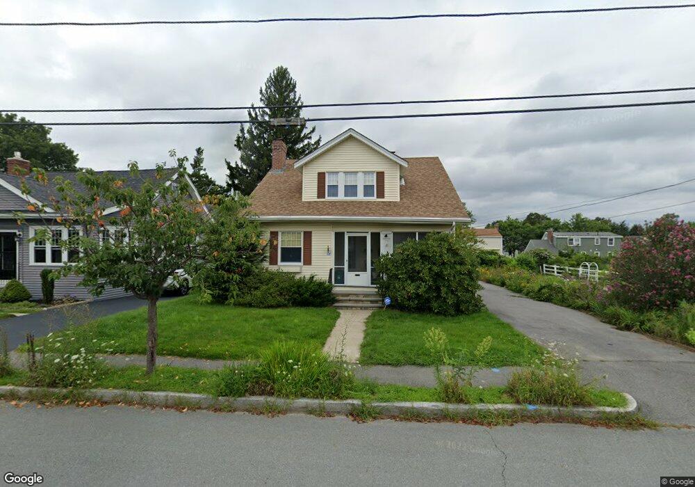
21 Arbutus Rd Worcester, MA 01606
Burncoat NeighborhoodEstimated Value: $469,000 - $507,558
4
Beds
2
Baths
1,937
Sq Ft
$250/Sq Ft
Est. Value
About This Home
This home is located at 21 Arbutus Rd, Worcester, MA 01606 and is currently estimated at $483,640, approximately $249 per square foot. 21 Arbutus Rd is a home located in Worcester County with nearby schools including Belmont Street Community School, Jacob Hiatt Magnet School, and Chandler Magnet.
Ownership History
Date
Name
Owned For
Owner Type
Purchase Details
Closed on
Jan 19, 2017
Sold by
Opacki Thomas M and Opacki Angela S
Bought by
Vo Yen
Current Estimated Value
Home Financials for this Owner
Home Financials are based on the most recent Mortgage that was taken out on this home.
Original Mortgage
$220,000
Outstanding Balance
$180,832
Interest Rate
4.03%
Mortgage Type
New Conventional
Estimated Equity
$302,808
Purchase Details
Closed on
Jan 9, 2017
Sold by
Black Richard
Bought by
Vo Yen
Home Financials for this Owner
Home Financials are based on the most recent Mortgage that was taken out on this home.
Original Mortgage
$220,000
Outstanding Balance
$180,832
Interest Rate
4.03%
Mortgage Type
New Conventional
Estimated Equity
$302,808
Purchase Details
Closed on
Nov 16, 2012
Sold by
Ryan Virginia W
Bought by
Virginia W Ryan T and Ryan Virginia W
Create a Home Valuation Report for This Property
The Home Valuation Report is an in-depth analysis detailing your home's value as well as a comparison with similar homes in the area
Home Values in the Area
Average Home Value in this Area
Purchase History
| Date | Buyer | Sale Price | Title Company |
|---|---|---|---|
| Vo Yen | -- | -- | |
| Vo Yen | $305,000 | -- | |
| Virginia W Ryan T | -- | -- |
Source: Public Records
Mortgage History
| Date | Status | Borrower | Loan Amount |
|---|---|---|---|
| Open | Vo Yen | $220,000 |
Source: Public Records
Tax History Compared to Growth
Tax History
| Year | Tax Paid | Tax Assessment Tax Assessment Total Assessment is a certain percentage of the fair market value that is determined by local assessors to be the total taxable value of land and additions on the property. | Land | Improvement |
|---|---|---|---|---|
| 2025 | $5,531 | $419,300 | $118,600 | $300,700 |
| 2024 | $5,404 | $393,000 | $118,600 | $274,400 |
| 2023 | $5,213 | $363,500 | $103,100 | $260,400 |
| 2022 | $4,793 | $315,100 | $82,600 | $232,500 |
| 2021 | $4,773 | $293,200 | $66,100 | $227,100 |
| 2020 | $4,667 | $274,500 | $66,100 | $208,400 |
| 2019 | $4,417 | $245,400 | $59,500 | $185,900 |
| 2018 | $4,402 | $232,800 | $59,500 | $173,300 |
| 2017 | $4,251 | $221,200 | $59,500 | $161,700 |
| 2016 | $4,275 | $207,400 | $43,600 | $163,800 |
| 2015 | $4,163 | $207,400 | $43,600 | $163,800 |
| 2014 | $4,053 | $207,400 | $43,600 | $163,800 |
Source: Public Records
Map
Nearby Homes
- 15 Inwood Rd
- 68 Housatonic St
- 49 Prudential Rd
- 12 Prudential Rd
- 80 Prudential Rd
- 95 Saint Nicholas Ave
- 43 Fales St
- 89 E Mountain St
- 14 Housatonic St
- 2 Maria Ln Unit 2
- 29 E Mountain
- 13 Fatima Ln
- 80 Clark St
- 14 Fales St
- 40 Francis St
- 314 Burncoat St
- 31 Enaya Cir Unit 31
- 18 Claffey Ave
- 126 Brooks St
- 3 Malden St