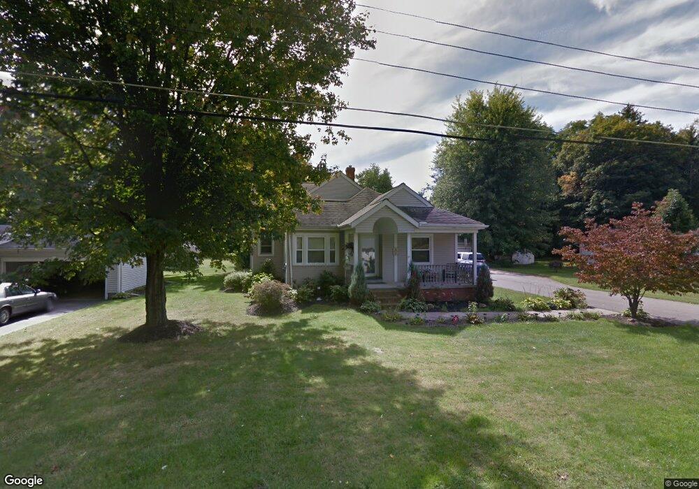
21 Athens Dr Painesville, OH 44077
Estimated Value: $250,157 - $276,000
3
Beds
3
Baths
1,988
Sq Ft
$133/Sq Ft
Est. Value
About This Home
This home is located at 21 Athens Dr, Painesville, OH 44077 and is currently estimated at $265,039, approximately $133 per square foot. 21 Athens Dr is a home located in Lake County with nearby schools including Henry F. Lamuth Middle School, Riverside Junior/Senior High School, and Summit Academy Community School - Painesville.
Ownership History
Date
Name
Owned For
Owner Type
Purchase Details
Closed on
Nov 1, 2011
Sold by
Mccarthy John D and Salem Mccarthy Dana L
Bought by
Discenza Erin H
Current Estimated Value
Home Financials for this Owner
Home Financials are based on the most recent Mortgage that was taken out on this home.
Original Mortgage
$134,501
Outstanding Balance
$93,383
Interest Rate
4.4%
Mortgage Type
FHA
Estimated Equity
$171,656
Purchase Details
Closed on
Oct 24, 1988
Bought by
Mccarthy Patty D
Create a Home Valuation Report for This Property
The Home Valuation Report is an in-depth analysis detailing your home's value as well as a comparison with similar homes in the area
Home Values in the Area
Average Home Value in this Area
Purchase History
| Date | Buyer | Sale Price | Title Company |
|---|---|---|---|
| Discenza Erin H | $138,000 | New Market Title Llc | |
| Mccarthy Patty D | $46,500 | -- |
Source: Public Records
Mortgage History
| Date | Status | Borrower | Loan Amount |
|---|---|---|---|
| Open | Discenza Erin H | $134,501 |
Source: Public Records
Tax History Compared to Growth
Tax History
| Year | Tax Paid | Tax Assessment Tax Assessment Total Assessment is a certain percentage of the fair market value that is determined by local assessors to be the total taxable value of land and additions on the property. | Land | Improvement |
|---|---|---|---|---|
| 2024 | -- | $68,500 | $13,950 | $54,550 |
| 2023 | $5,509 | $50,550 | $10,110 | $40,440 |
| 2022 | $3,370 | $50,550 | $10,110 | $40,440 |
| 2021 | $3,355 | $50,550 | $10,110 | $40,440 |
| 2020 | $3,299 | $43,950 | $8,790 | $35,160 |
| 2019 | $3,292 | $43,950 | $8,790 | $35,160 |
| 2018 | $3,458 | $43,590 | $10,280 | $33,310 |
| 2017 | $3,652 | $43,590 | $10,280 | $33,310 |
| 2016 | $4,039 | $43,590 | $10,280 | $33,310 |
| 2015 | $2,498 | $43,590 | $10,280 | $33,310 |
| 2014 | $2,539 | $43,590 | $10,280 | $33,310 |
| 2013 | $2,481 | $43,590 | $10,280 | $33,310 |
Source: Public Records
Map
Nearby Homes
- 500 Park Rd
- 525 Morgan Dr
- 396 Park Rd
- V/L Morgan Dr
- 43 Bristol Ave
- 269 Hale Rd
- 108 Birch Dr
- 1787 Muirfield Ln
- 0 N Ridge Rd Unit 5110949
- 1182 Dalton Dr
- 1172 Dalton Dr
- 4505 Lane Rd
- 389 Sand Trap Cir
- 1598 Bogie Ln
- 67 Tanners Farm Dr
- 634 N Creek Dr
- 808 N Creek Dr
- 399 Sandtrap Cir
- 65 Tanners Farm Dr
- 1865 Marsh Ln Unit 1865