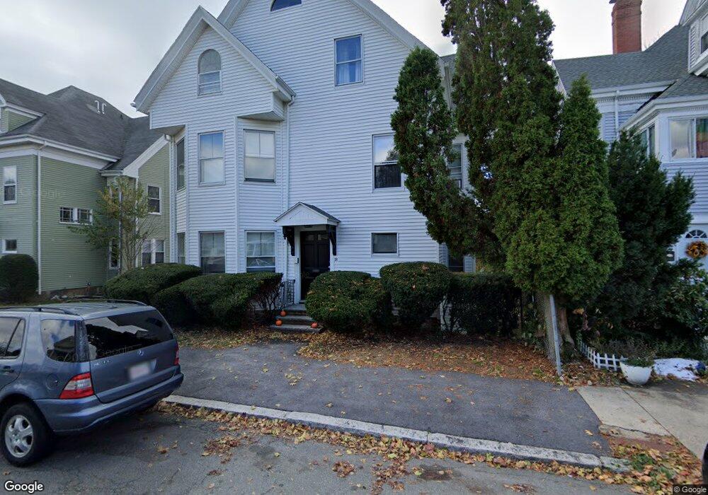
21 Atlantic Ave Unit 2 Beverly, MA 01915
Downtown Beverly NeighborhoodEstimated Value: $829,000 - $1,298,000
2
Beds
1
Bath
900
Sq Ft
$1,096/Sq Ft
Est. Value
About This Home
This home is located at 21 Atlantic Ave Unit 2, Beverly, MA 01915 and is currently estimated at $986,043, approximately $1,095 per square foot. 21 Atlantic Ave Unit 2 is a home located in Essex County with nearby schools including Beverly High School, Mrs Alexander's School, and Shore Country Day School.
Ownership History
Date
Name
Owned For
Owner Type
Purchase Details
Closed on
Dec 27, 2021
Sold by
Powers Marguerite C Est
Bought by
Nelson Carolyn and Nelson Olin
Current Estimated Value
Home Financials for this Owner
Home Financials are based on the most recent Mortgage that was taken out on this home.
Original Mortgage
$641,250
Interest Rate
2.98%
Mortgage Type
Purchase Money Mortgage
Purchase Details
Closed on
Jan 30, 2007
Sold by
Faul David D
Bought by
Faul David D
Home Financials for this Owner
Home Financials are based on the most recent Mortgage that was taken out on this home.
Original Mortgage
$393,000
Interest Rate
6.15%
Mortgage Type
Purchase Money Mortgage
Purchase Details
Closed on
Feb 28, 1997
Sold by
Sable Rt and Margolis
Bought by
Faul David D
Create a Home Valuation Report for This Property
The Home Valuation Report is an in-depth analysis detailing your home's value as well as a comparison with similar homes in the area
Home Values in the Area
Average Home Value in this Area
Purchase History
| Date | Buyer | Sale Price | Title Company |
|---|---|---|---|
| Nelson Carolyn | $675,000 | None Available | |
| Faul David D | -- | -- | |
| Faul David D | -- | -- | |
| Faul David D | $185,000 | -- | |
| Faul David D | $185,000 | -- |
Source: Public Records
Mortgage History
| Date | Status | Borrower | Loan Amount |
|---|---|---|---|
| Previous Owner | Nelson Carolyn | $641,250 | |
| Previous Owner | Faul David D | $59,373 | |
| Previous Owner | Faul David D | $393,000 |
Source: Public Records
Tax History
| Year | Tax Paid | Tax Assessment Tax Assessment Total Assessment is a certain percentage of the fair market value that is determined by local assessors to be the total taxable value of land and additions on the property. | Land | Improvement |
|---|---|---|---|---|
| 2025 | $11,271 | $1,025,600 | $480,900 | $544,700 |
| 2024 | $11,102 | $988,600 | $443,900 | $544,700 |
| 2023 | $10,840 | $962,700 | $418,000 | $544,700 |
| 2022 | $11,164 | $917,300 | $386,500 | $530,800 |
| 2021 | $11,416 | $898,900 | $368,100 | $530,800 |
| 2020 | $11,299 | $852,500 | $360,700 | $491,800 |
| 2019 | $10,619 | $812,200 | $332,900 | $479,300 |
| 2018 | $9,810 | $721,300 | $314,400 | $406,900 |
| 2017 | $8,409 | $588,900 | $240,400 | $348,500 |
| 2016 | $7,994 | $555,500 | $240,400 | $315,100 |
| 2015 | $7,838 | $555,500 | $240,400 | $315,100 |
Source: Public Records
Map
Nearby Homes
- 21 Thorndike St Unit 4
- 21 Thorndike St Unit 2
- 24 Franklin Place
- The Cabot Collection
- 40 Railroad Ave Unit B2
- 28 Arthur St Unit 3
- 42 Bisson St
- 3 Elm Top Ln
- 315 Rantoul St Unit 406
- 315 Rantoul St Unit 106
- 37 Chase St
- 21 Roundy St
- 94 Essex St
- 18 James St
- 348 Rantoul St Unit 202
- 109 Water St Unit 404
- 60 Rantoul St Unit 604N
- 60 Rantoul St Unit 708N
- 60 Rantoul St Unit 114N
- 50 Rantoul St Unit 204S
- 21 Atlantic Ave
- 23 Atlantic Ave
- 17 Atlantic Ave Unit 17 H
- 17 Atlantic Ave Unit 19
- 17 Atlantic Ave Unit 19
- 17 Atlantic Ave Unit 19
- 17 Atlantic Ave Unit 19
- 17 1/2 Atlantic Ave Unit 17 1/2,17
- 17-19H Atlantic Ave Unit 17 1/2
- 17 Atlantic Ave Unit 17
- 19 1/2 Atlantic Ave Unit 1
- 19 1/2 Atlantic Ave
- 17-19 1/2 Atlantic Ave Unit 19H
- 17 Atlantic Ave
- 17-19 1/2 Atlantic Ave
- 17 1/2 Atlantic Ave Unit 17H
- 17 Atlantic Ave Unit 17H
- 70 Lovett St
- 70 Lovett St Unit 1
- 15 Atlantic Ave
Your Personal Tour Guide
Ask me questions while you tour the home.