21 Bayview Rd Niantic, CT 06357
Estimated Value: $533,251 - $901,000
2
Beds
3
Baths
2,068
Sq Ft
$332/Sq Ft
Est. Value
About This Home
This home is located at 21 Bayview Rd, Niantic, CT 06357 and is currently estimated at $685,813, approximately $331 per square foot. 21 Bayview Rd is a home located in New London County with nearby schools including East Lyme Middle School, East Lyme High School, and The Light House Voc-Ed Center.
Ownership History
Date
Name
Owned For
Owner Type
Purchase Details
Closed on
Jul 31, 1998
Sold by
Darby James E and Darby Cynthia
Bought by
Covino Ernest and Covino Patsy J
Current Estimated Value
Home Financials for this Owner
Home Financials are based on the most recent Mortgage that was taken out on this home.
Original Mortgage
$140,000
Interest Rate
6.92%
Mortgage Type
Purchase Money Mortgage
Create a Home Valuation Report for This Property
The Home Valuation Report is an in-depth analysis detailing your home's value as well as a comparison with similar homes in the area
Home Values in the Area
Average Home Value in this Area
Purchase History
| Date | Buyer | Sale Price | Title Company |
|---|---|---|---|
| Covino Ernest | $175,000 | -- | |
| Covino Ernest | $175,000 | -- |
Source: Public Records
Mortgage History
| Date | Status | Borrower | Loan Amount |
|---|---|---|---|
| Closed | Covino Ernest | $132,350 | |
| Closed | Covino Ernest | $8,750 | |
| Closed | Covino Ernest | $140,000 |
Source: Public Records
Tax History
| Year | Tax Paid | Tax Assessment Tax Assessment Total Assessment is a certain percentage of the fair market value that is determined by local assessors to be the total taxable value of land and additions on the property. | Land | Improvement |
|---|---|---|---|---|
| 2025 | $6,555 | $234,010 | $78,190 | $155,820 |
| 2024 | $6,166 | $234,010 | $78,190 | $155,820 |
| 2023 | $5,822 | $234,010 | $78,190 | $155,820 |
| 2022 | $5,579 | $234,010 | $78,190 | $155,820 |
| 2021 | $5,235 | $183,610 | $70,700 | $112,910 |
| 2020 | $5,207 | $183,610 | $70,700 | $112,910 |
| 2019 | $5,176 | $183,610 | $70,700 | $112,910 |
| 2018 | $5,022 | $183,610 | $70,700 | $112,910 |
| 2017 | $4,803 | $183,610 | $70,700 | $112,910 |
| 2016 | $4,562 | $179,900 | $66,990 | $112,910 |
| 2015 | $4,445 | $179,900 | $66,990 | $112,910 |
| 2014 | $4,323 | $179,900 | $66,990 | $112,910 |
Source: Public Records
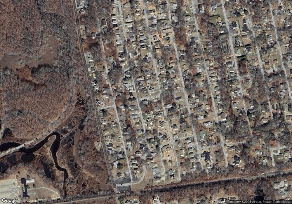
Map
Nearby Homes
- 15 Griswold Rd
- 12 Spinnaker Dr
- 22 Riverdale Landing
- 19 Sapia Dr
- 86 Corey Ln
- 2 Riverdale Landing
- 26 Mohawk Dr
- 127 Black Point Rd Unit 7
- 61 Whitecap Rd
- 36 Attawan Rd
- 15 Freedom Way Unit 105
- 15 Freedom Way Unit 92
- 55 Corey Ln
- 43 Roxbury Ct
- 97 W Main St Unit 36
- 14 Colton Rd
- 42 S Washington Ave
- 47 Village Crossing Unit 47
- 46 Village Crossing Unit 46
- 13 Victoria Ln
Your Personal Tour Guide
Ask me questions while you tour the home.