21 Beaver Dam Rd Salisbury, CT 06068
Estimated Value: $1,523,000 - $1,929,668
3
Beds
4
Baths
4,544
Sq Ft
$365/Sq Ft
Est. Value
About This Home
This home is located at 21 Beaver Dam Rd, Salisbury, CT 06068 and is currently estimated at $1,658,889, approximately $365 per square foot. 21 Beaver Dam Rd is a home located in Litchfield County with nearby schools including Housatonic Valley Regional High School and Salisbury School.
Ownership History
Date
Name
Owned For
Owner Type
Purchase Details
Closed on
Oct 29, 2024
Sold by
Osborne Pamela M
Bought by
Pamela M Osborne T M and Pamela Osborne
Current Estimated Value
Purchase Details
Closed on
May 8, 1997
Sold by
Barnett Ft
Bought by
Soborne John S and Osborne Pamela M
Home Financials for this Owner
Home Financials are based on the most recent Mortgage that was taken out on this home.
Original Mortgage
$400,000
Interest Rate
7.88%
Mortgage Type
Unknown
Purchase Details
Closed on
Sep 30, 1994
Sold by
Vaill Kenneth
Bought by
Smolkis Richard and Smolkis Patricia
Create a Home Valuation Report for This Property
The Home Valuation Report is an in-depth analysis detailing your home's value as well as a comparison with similar homes in the area
Home Values in the Area
Average Home Value in this Area
Purchase History
| Date | Buyer | Sale Price | Title Company |
|---|---|---|---|
| Pamela M Osborne T M | -- | None Available | |
| Pamela M Osborne T M | -- | None Available | |
| Pamela M Osborne T M | -- | None Available | |
| Soborne John S | $748,425 | -- | |
| Smolkis Richard | $55,000 | -- | |
| Soborne John S | $748,425 | -- | |
| Smolkis Richard | $55,000 | -- |
Source: Public Records
Mortgage History
| Date | Status | Borrower | Loan Amount |
|---|---|---|---|
| Previous Owner | Smolkis Richard | $325,000 | |
| Previous Owner | Smolkis Richard | $400,000 |
Source: Public Records
Tax History
| Year | Tax Paid | Tax Assessment Tax Assessment Total Assessment is a certain percentage of the fair market value that is determined by local assessors to be the total taxable value of land and additions on the property. | Land | Improvement |
|---|---|---|---|---|
| 2025 | $10,970 | $997,230 | $450,530 | $546,700 |
| 2024 | $10,970 | $997,230 | $450,530 | $546,700 |
| 2023 | $10,970 | $997,230 | $450,530 | $546,700 |
| 2022 | $10,970 | $997,230 | $450,530 | $546,700 |
| 2021 | $1,652 | $997,230 | $450,530 | $546,700 |
| 2020 | $1,640 | $795,130 | $346,230 | $448,900 |
| 2019 | $1,640 | $795,130 | $346,230 | $448,900 |
| 2018 | $8,985 | $795,130 | $346,230 | $448,900 |
| 2017 | $1,930 | $795,130 | $346,230 | $448,900 |
| 2016 | $8,508 | $795,130 | $346,230 | $448,900 |
| 2015 | $7,671 | $716,930 | $294,630 | $422,300 |
| 2014 | $7,823 | $745,030 | $294,630 | $450,400 |
Source: Public Records
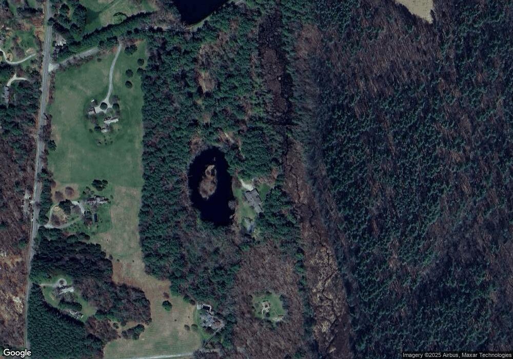
Map
Nearby Homes
- 77 Beaver Dam Rd
- 000 Under Mountain Rd
- 552 Twin Lakes Rd
- 48 Preston Ln
- 118 Washinee Heights Rd
- 9 Prospect Mountain Rd
- 247 Twin Lakes Rd
- 5 Prospect Mountain Rd
- 87 Canaan Rd Unit 2F
- 0 Under Mountain Rd
- 47 E Main St
- 60 Selleck Hill Rd
- 37 Greene Ave
- 308 Main St
- 100 Belden St
- 60 Parsley Ln
- 180 Sand Rd
- 3 Mountain Edge Ln
- Lot # 3 Mountain Edge Ln
- 8 Holley St
- 26 Deep Woods Rd
- 22 Deep Woods Rd
- 395 Under Mountain Rd
- 7 Beaver Dam Rd
- 1 Beaver Dam Rd
- 25 Deep Woods Rd
- 385 Under Mountain Rd Unit 389
- 389 Under Mountain Rd
- 0 Beaver Dam Rd
- 412 Under Mountain Rd
- 388 Under Mountain Rd
- 418 Under Mountain Rd
- 4 Mount Rd W
- 1 Westmount Rd
- 6 Mount Rd W
- 1 Westmount Rd
- 11 Westmount Rd
- 9 Westmount Rd
- 54 Beaver Dam Rd
- 12 Foot Hills Rd
Your Personal Tour Guide
Ask me questions while you tour the home.