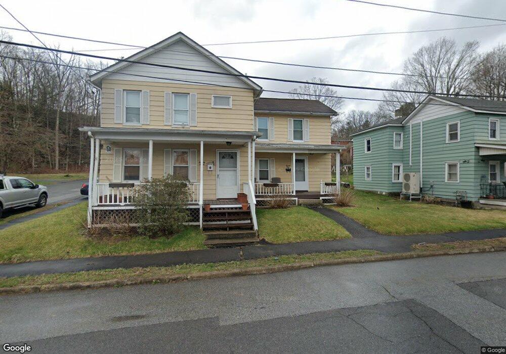
21 Bennett St Unit 23 Port Jervis, NY 12771
Estimated Value: $284,000 - $351,000
1
Bed
1
Bath
600
Sq Ft
$534/Sq Ft
Est. Value
About This Home
This home is located at 21 Bennett St Unit 23, Port Jervis, NY 12771 and is currently estimated at $320,267, approximately $533 per square foot. 21 Bennett St Unit 23 is a home located in Orange County with nearby schools including Port Jervis High School and New Life Christian Day School.
Ownership History
Date
Name
Owned For
Owner Type
Purchase Details
Closed on
Oct 17, 2024
Sold by
Clune Patrick and Holmes Stephanie
Bought by
Holmes Stephanie
Current Estimated Value
Purchase Details
Closed on
Oct 7, 2015
Sold by
Stevenson Michael L
Bought by
Clune Patrick and Clune Holmes
Home Financials for this Owner
Home Financials are based on the most recent Mortgage that was taken out on this home.
Original Mortgage
$104,000
Interest Rate
3.88%
Mortgage Type
New Conventional
Create a Home Valuation Report for This Property
The Home Valuation Report is an in-depth analysis detailing your home's value as well as a comparison with similar homes in the area
Home Values in the Area
Average Home Value in this Area
Purchase History
| Date | Buyer | Sale Price | Title Company |
|---|---|---|---|
| Holmes Stephanie | -- | None Available | |
| Holmes Stephanie | -- | None Available | |
| Clune Patrick | $130,000 | David W. Bavoso | |
| Clune Patrick | $130,000 | David W. Bavoso |
Source: Public Records
Mortgage History
| Date | Status | Borrower | Loan Amount |
|---|---|---|---|
| Previous Owner | Clune Patrick | $104,000 |
Source: Public Records
Tax History Compared to Growth
Tax History
| Year | Tax Paid | Tax Assessment Tax Assessment Total Assessment is a certain percentage of the fair market value that is determined by local assessors to be the total taxable value of land and additions on the property. | Land | Improvement |
|---|---|---|---|---|
| 2024 | $3,870 | $53,900 | $4,750 | $49,150 |
| 2023 | $3,870 | $53,900 | $4,750 | $49,150 |
| 2022 | $4,945 | $53,900 | $4,750 | $49,150 |
| 2021 | $4,280 | $53,900 | $4,750 | $49,150 |
| 2020 | $4,389 | $53,900 | $4,750 | $49,150 |
| 2019 | $536 | $53,900 | $4,750 | $49,150 |
| 2018 | $5,389 | $53,900 | $4,750 | $49,150 |
| 2017 | $4,240 | $53,900 | $4,750 | $49,150 |
| 2016 | $4,448 | $53,900 | $4,750 | $49,150 |
| 2015 | -- | $53,900 | $4,750 | $49,150 |
| 2014 | -- | $53,900 | $4,750 | $49,150 |
Source: Public Records
Map
Nearby Homes
- 10 Neversink Dr
- 9 Neversink Dr
- 11 Neversink Dr
- 1 High St
- 109 US Highway 6
- 189 E Main St
- 46 Neversink Dr
- 172 Front St Unit 172
- 165 Front St
- 142 Ball St
- 10 Hickory Ave
- 49 Lime Kiln Rd
- 120 Jersey Ave
- 138 Front St Unit 140
- 131 Front St
- 115 Hammond St
- 9 Carpenter Rd
- 178-180 Ball St
- 122 Front St
- 2215 Greenville Turnpike
- 21-23 Bennett St
- 19 Bennett St
- 29 Patterson St
- 31 Patterson St
- 22-24 Bennett St
- 26 Patterson St Unit 28
- 26-28 Patterson St Unit 28
- 28 Patterson St
- 28 Patterson St Unit 2
- 28 Patterson St Unit 26
- 10 Wright St
- 22 Bennett St Unit 24
- 15 Bennett St
- 22 Patterson St
- 16 Bennett St
- 8 Wright St
- 13 Bennett St
- 14 Bennett St
- 6 Wright St
- 24 Patterson St