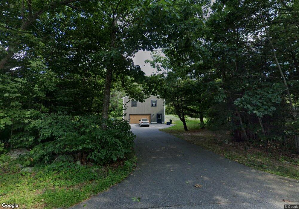
21 Benson Rd Biddeford, ME 04005
South Biddeford NeighborhoodEstimated Value: $455,000 - $511,054
3
Beds
2
Baths
1,196
Sq Ft
$409/Sq Ft
Est. Value
About This Home
This home is located at 21 Benson Rd, Biddeford, ME 04005 and is currently estimated at $488,764, approximately $408 per square foot. 21 Benson Rd is a home located in York County with nearby schools including John F Kennedy Memorial School, Biddeford Primary School, and Biddeford Intermediate School.
Ownership History
Date
Name
Owned For
Owner Type
Purchase Details
Closed on
Jan 31, 2014
Sold by
Campbell Catherine M
Bought by
Margiotta Donald D and Margiotta Kathleen
Current Estimated Value
Create a Home Valuation Report for This Property
The Home Valuation Report is an in-depth analysis detailing your home's value as well as a comparison with similar homes in the area
Home Values in the Area
Average Home Value in this Area
Purchase History
| Date | Buyer | Sale Price | Title Company |
|---|---|---|---|
| Margiotta Donald D | -- | -- |
Source: Public Records
Tax History
| Year | Tax Paid | Tax Assessment Tax Assessment Total Assessment is a certain percentage of the fair market value that is determined by local assessors to be the total taxable value of land and additions on the property. | Land | Improvement |
|---|---|---|---|---|
| 2025 | $5,895 | $394,600 | $166,800 | $227,800 |
| 2024 | $5,588 | $393,000 | $166,800 | $226,200 |
| 2023 | $5,156 | $393,000 | $166,800 | $226,200 |
| 2022 | $4,769 | $290,600 | $109,300 | $181,300 |
| 2021 | $4,486 | $246,100 | $91,000 | $155,100 |
| 2020 | $4,349 | $216,900 | $74,100 | $142,800 |
| 2019 | $4,334 | $216,900 | $74,100 | $142,800 |
| 2018 | $4,273 | $216,900 | $74,100 | $142,800 |
| 2017 | $4,136 | $206,100 | $74,100 | $132,000 |
| 2016 | $4,093 | $206,100 | $74,100 | $132,000 |
| 2015 | $4,013 | $206,100 | $74,100 | $132,000 |
| 2014 | $3,633 | $191,300 | $74,100 | $117,200 |
| 2013 | -- | $188,500 | $54,300 | $134,200 |
Source: Public Records
Map
Nearby Homes
- 13 Benson
- 400 West St
- 0 Newtown Rd
- 10 Tow Rd
- 6 Proctor Rd Unit B
- 6 Proctor Rd Unit A
- 8 Rockwood Dr
- 9 Windward Ridge
- 3 Scadlock Mill Rd
- 74 Guinea Rd
- 700 Pool St
- 650 Pool St
- 625 Pool St
- 109 Proctor Rd
- 0 Cole Benson Rd
- 88-90 Old Pool Rd
- 5 Twin Island Dr
- 26 Meeting House Rd
- Lot 4 Longboard Ln
- Lot 3 Longboard Ln
Your Personal Tour Guide
Ask me questions while you tour the home.