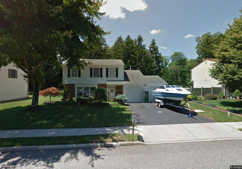
21 Bernard Dr Howell, NJ 07731
Southard NeighborhoodEstimated Value: $697,000 - $748,000
About This Home
This home is located at 21 Bernard Dr, Howell, NJ 07731 and is currently estimated at $718,195, approximately $328 per square foot. 21 Bernard Dr is a home located in Monmouth County with nearby schools including Taunton School, Aldrich School, and Howell Township Middle School South.
Ownership History
We collect this data history from publicly available records. To have your information removed, we recommend requesting removal directly through your county’s website.
Purchase Details
Home Financials for this Owner
Home Financials are based on the most recent Mortgage that was taken out on this home.Home Values in the Area
Average Home Value in this Area
Purchase History
We collect this data history from publicly available records. To have your information removed, we recommend requesting removal directly through your county’s website.
| Date | Buyer | Sale Price | Title Company |
|---|---|---|---|
| $400,000 | -- |
Mortgage History
We collect this data history from publicly available records. To have your information removed, we recommend requesting removal directly through your county’s website.
| Date | Status | Borrower | Loan Amount |
|---|---|---|---|
| Open | $140,000 |
Tax History
We collect this data history from publicly available records. To have your information removed, we recommend requesting removal directly through your county’s website.
| Year | Tax Paid | Tax Assessment Tax Assessment Total Assessment is a certain percentage of the fair market value that is determined by local assessors to be the total taxable value of land and additions on the property. | Land | Improvement |
|---|---|---|---|---|
| 2025 | $10,175 | $612,000 | $359,200 | $252,800 |
| 2024 | $9,798 | $572,300 | $324,200 | $248,100 |
| 2023 | $9,798 | $526,500 | $284,200 | $242,300 |
| 2022 | $8,743 | $418,400 | $169,200 | $249,200 |
| 2021 | $8,390 | $380,800 | $159,200 | $221,600 |
| 2020 | $8,784 | $378,300 | $159,200 | $219,100 |
| 2019 | $8,390 | $354,600 | $139,200 | $215,400 |
| 2018 | $7,967 | $334,600 | $129,200 | $205,400 |
| 2017 | $7,905 | $328,300 | $129,200 | $199,100 |
| 2016 | $7,376 | $303,300 | $109,200 | $194,100 |
| 2015 | $7,329 | $298,300 | $109,200 | $189,100 |
| 2014 | $7,573 | $286,000 | $123,400 | $162,600 |
Map
- 79 New Friendship Rd Unit 183.10 TMFM 63.02
- 224 Sunset Ln
- 226 Sunset Ln
- 3 Annie Dr
- 2 Annie Dr
- 34 New Friendship Rd
- 516 Middle Ln
- 437 Shady Ln
- 8 Cripple Creek Rd
- 7 Lindner Ln
- 62 Heritage Dr
- 23 Cattail Dr
- 16 Finch Rd
- 96 Heritage Dr
- 30 Heritage Dr
- 3 Heritage Dr
- 11 Owl Rd
- 17 Heritage Dr
- 86 Harvest Ridge Rd
- 25 Lily Pond Ct
Ask me questions while you tour the home.