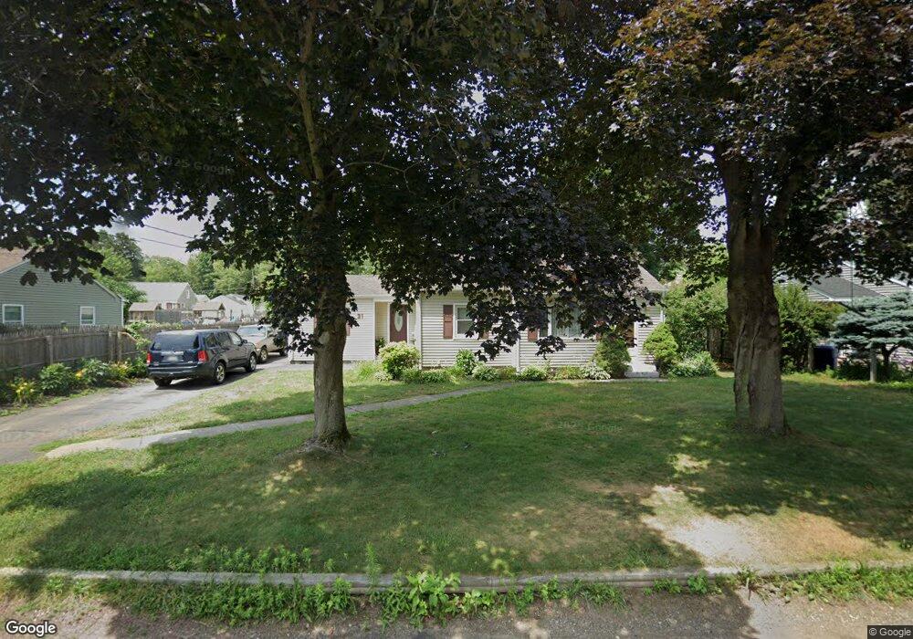
21 Birchwood Rd Southwick, MA 01077
Estimated Value: $302,000 - $336,819
4
Beds
1
Bath
1,110
Sq Ft
$286/Sq Ft
Est. Value
About This Home
This home is located at 21 Birchwood Rd, Southwick, MA 01077 and is currently estimated at $317,455, approximately $285 per square foot. 21 Birchwood Rd is a home located in Hampden County with nearby schools including Woodland School, Powder Mill Middle School, and Southwick Regional School.
Ownership History
Date
Name
Owned For
Owner Type
Purchase Details
Closed on
Aug 16, 2004
Sold by
Campagnari Dina M and Dugan Dina M
Bought by
Protsun Nila and Protsun Viktor
Current Estimated Value
Home Financials for this Owner
Home Financials are based on the most recent Mortgage that was taken out on this home.
Original Mortgage
$170,000
Outstanding Balance
$85,195
Interest Rate
6.16%
Mortgage Type
Purchase Money Mortgage
Estimated Equity
$232,260
Purchase Details
Closed on
May 22, 1992
Sold by
Toyfair Thomas J and Toyfair Teresa L
Bought by
Campagnari Dina M and Dugan Girard F
Home Financials for this Owner
Home Financials are based on the most recent Mortgage that was taken out on this home.
Original Mortgage
$113,297
Interest Rate
8.77%
Mortgage Type
Purchase Money Mortgage
Create a Home Valuation Report for This Property
The Home Valuation Report is an in-depth analysis detailing your home's value as well as a comparison with similar homes in the area
Home Values in the Area
Average Home Value in this Area
Purchase History
| Date | Buyer | Sale Price | Title Company |
|---|---|---|---|
| Protsun Nila | $169,000 | -- | |
| Campagnari Dina M | $114,900 | -- |
Source: Public Records
Mortgage History
| Date | Status | Borrower | Loan Amount |
|---|---|---|---|
| Open | Protsun Nila | $170,000 | |
| Previous Owner | Campagnari Dina M | $101,698 | |
| Previous Owner | Campagnari Dina M | $106,800 | |
| Previous Owner | Campagnari Dina M | $113,297 |
Source: Public Records
Tax History Compared to Growth
Tax History
| Year | Tax Paid | Tax Assessment Tax Assessment Total Assessment is a certain percentage of the fair market value that is determined by local assessors to be the total taxable value of land and additions on the property. | Land | Improvement |
|---|---|---|---|---|
| 2025 | $4,142 | $266,000 | $87,800 | $178,200 |
| 2024 | $3,920 | $253,400 | $80,000 | $173,400 |
| 2023 | $3,726 | $231,300 | $80,000 | $151,300 |
| 2022 | $3,578 | $210,700 | $72,800 | $137,900 |
| 2021 | $3,428 | $194,900 | $72,800 | $122,100 |
| 2020 | $3,388 | $193,700 | $72,800 | $120,900 |
| 2019 | $3,279 | $187,700 | $71,200 | $116,500 |
| 2018 | $3,285 | $187,700 | $71,200 | $116,500 |
| 2017 | $3,161 | $178,300 | $67,900 | $110,400 |
| 2016 | $3,049 | $178,300 | $67,900 | $110,400 |
| 2015 | $3,000 | $177,100 | $66,700 | $110,400 |
Source: Public Records
Map
Nearby Homes
- 61 S View Dr
- 3 Iron Horse Hill Unit 3
- 31 Woodland Ridge
- 8 Woodland Ridge
- 33 S Longyard Rd
- 12 Granaudo Cir
- 44 N Lake Ave
- 28 Gargon Terrace
- 80 Bungalow St
- 105 Lakeview St
- 14 Lexington Cir
- 20 Great Brook Dr
- 74 Point Grove Rd
- 139 Point Grove Rd
- 116 Granville Rd
- 23 Pine Knoll
- 21 Grove St
- 175 Berkshire Ave
- 141 Point Grove Rd
- 148 Point Grove Rd
- 19 Birchwood Rd
- 23 Birchwood Rd
- 32 Fernwood Rd
- 30 Fernwood Rd
- 25 Birchwood Rd
- 34 Fernwood Rd
- 17 Birchwood Rd
- 20 Birchwood Rd
- 22 Birchwood Rd
- 18 Birchwood Rd
- 28 Fernwood Rd
- 36 Fernwood Rd
- 27 Birchwood Rd
- 24 Birchwood Rd
- 16 Birchwood Rd
- 26 Fernwood Rd
- 38 Fernwood Rd
- 15 Birchwood Rd
- 26 Birchwood Rd
- 69 Powder Mill Rd