21 Blythewood Rd Doylestown, PA 18901
Estimated Value: $592,490 - $797,000
4
Beds
2
Baths
2,432
Sq Ft
$281/Sq Ft
Est. Value
About This Home
This home is located at 21 Blythewood Rd, Doylestown, PA 18901 and is currently estimated at $682,873, approximately $280 per square foot. 21 Blythewood Rd is a home located in Bucks County with nearby schools including Kutz Elementary School, Lenape Middle School, and Central Bucks High School-West.
Ownership History
Date
Name
Owned For
Owner Type
Purchase Details
Closed on
Sep 30, 1997
Sold by
Roth Gregory Ewing and Roth Margaret T
Bought by
Varner Jon L and Varner Katherine J
Current Estimated Value
Home Financials for this Owner
Home Financials are based on the most recent Mortgage that was taken out on this home.
Original Mortgage
$157,250
Outstanding Balance
$24,954
Interest Rate
7.31%
Estimated Equity
$657,919
Purchase Details
Closed on
Oct 23, 1990
Bought by
Roth Gregory Ewing and Roth Margaret T
Create a Home Valuation Report for This Property
The Home Valuation Report is an in-depth analysis detailing your home's value as well as a comparison with similar homes in the area
Home Values in the Area
Average Home Value in this Area
Purchase History
| Date | Buyer | Sale Price | Title Company |
|---|---|---|---|
| Varner Jon L | $185,000 | -- | |
| Roth Gregory Ewing | $164,500 | -- |
Source: Public Records
Mortgage History
| Date | Status | Borrower | Loan Amount |
|---|---|---|---|
| Open | Varner Jon L | $157,250 |
Source: Public Records
Tax History Compared to Growth
Tax History
| Year | Tax Paid | Tax Assessment Tax Assessment Total Assessment is a certain percentage of the fair market value that is determined by local assessors to be the total taxable value of land and additions on the property. | Land | Improvement |
|---|---|---|---|---|
| 2025 | $5,633 | $31,830 | $7,480 | $24,350 |
| 2024 | $5,633 | $31,830 | $7,480 | $24,350 |
| 2023 | $5,371 | $31,830 | $7,480 | $24,350 |
| 2022 | $5,311 | $31,830 | $7,480 | $24,350 |
| 2021 | $5,202 | $31,830 | $7,480 | $24,350 |
| 2020 | $5,178 | $31,830 | $7,480 | $24,350 |
| 2019 | $5,122 | $31,830 | $7,480 | $24,350 |
| 2018 | $5,106 | $31,830 | $7,480 | $24,350 |
| 2017 | $5,067 | $31,830 | $7,480 | $24,350 |
| 2016 | $5,035 | $31,830 | $7,480 | $24,350 |
| 2015 | -- | $31,830 | $7,480 | $24,350 |
| 2014 | -- | $31,830 | $7,480 | $24,350 |
Source: Public Records
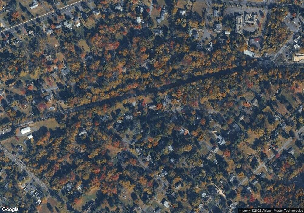
Map
Nearby Homes
- 179 Almshouse Rd
- 60 Cedar Dr
- 2 W Butler Ave
- 158 W Butler Ave
- 84 Iron Hill Rd
- 218 Keeley Ave
- 200 N Shady Retreat Rd
- 250 Wooded Dr
- 218 Vaux Dr
- 13 Cedar Crest Ct
- 8 Elizabeth Ln
- 197 Spring Ln
- 1 Elizabeth Ln
- 121 Conestoga Dr
- 422 Fordhook Rd
- 432 Ford Hook Rd
- 450 Ford Hook Rd
- 34 Warren Dr Unit 16
- 32 Warren Dr Unit 15
- 30 Warren Dr Unit 14
- 17 Blythewood Rd
- 27 Blythewood Rd
- 24 Blythewood Rd
- 18 Blythewood Rd
- 29 Blythewood Rd
- 11 Blythewood Rd
- 8 Dell Dr
- 32 Blythewood Rd
- 31 Blythewood Rd
- 6 Dell Dr
- 10 Blythewood Rd
- 140 Beulah Rd
- 61 Woodland Dr
- 38 Blythewood Rd
- 75 Woodland Dr
- 4 Dell Dr
- 33 Blythewood Rd
- 4 Blythewood Rd
- 42 Blythewood Rd
- 144 Beulah Rd