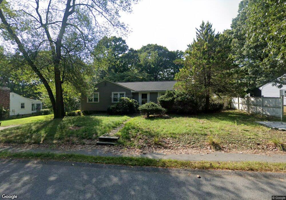
21 Booth Rd Unit 21 Dedham, MA 02026
Dexter NeighborhoodEstimated Value: $765,480 - $943,000
3
Beds
2
Baths
1,800
Sq Ft
$478/Sq Ft
Est. Value
About This Home
This home is located at 21 Booth Rd Unit 21, Dedham, MA 02026 and is currently estimated at $859,620, approximately $477 per square foot. 21 Booth Rd Unit 21 is a home located in Norfolk County with nearby schools including Riverdale Elementary School, Dedham Middle School, and Dedham High School.
Ownership History
Date
Name
Owned For
Owner Type
Purchase Details
Closed on
Mar 31, 2005
Sold by
Tobin George S and Hernandez Miguel
Bought by
Zablatsky David
Current Estimated Value
Home Financials for this Owner
Home Financials are based on the most recent Mortgage that was taken out on this home.
Original Mortgage
$163,000
Outstanding Balance
$80,419
Interest Rate
5.61%
Mortgage Type
Purchase Money Mortgage
Estimated Equity
$779,201
Purchase Details
Closed on
Dec 1, 1997
Sold by
Curtin Mary A and Curtin James F
Bought by
Tobin George S
Home Financials for this Owner
Home Financials are based on the most recent Mortgage that was taken out on this home.
Original Mortgage
$125,000
Interest Rate
7.26%
Mortgage Type
Purchase Money Mortgage
Purchase Details
Closed on
Mar 19, 1997
Sold by
Butters Jennie M
Bought by
Curtin Mary A and Curtin Jmes F
Create a Home Valuation Report for This Property
The Home Valuation Report is an in-depth analysis detailing your home's value as well as a comparison with similar homes in the area
Home Values in the Area
Average Home Value in this Area
Purchase History
| Date | Buyer | Sale Price | Title Company |
|---|---|---|---|
| Zablatsky David | $520,000 | -- | |
| Tobin George S | $218,000 | -- | |
| Curtin Mary A | $207,000 | -- |
Source: Public Records
Mortgage History
| Date | Status | Borrower | Loan Amount |
|---|---|---|---|
| Open | Zablatsky David | $163,000 | |
| Previous Owner | Curtin Mary A | $140,000 | |
| Previous Owner | Curtin Mary A | $125,000 |
Source: Public Records
Tax History
| Year | Tax Paid | Tax Assessment Tax Assessment Total Assessment is a certain percentage of the fair market value that is determined by local assessors to be the total taxable value of land and additions on the property. | Land | Improvement |
|---|---|---|---|---|
| 2025 | $9,013 | $714,200 | $376,900 | $337,300 |
| 2024 | $8,665 | $693,200 | $346,900 | $346,300 |
| 2023 | $8,295 | $646,000 | $322,000 | $324,000 |
| 2022 | $7,750 | $580,500 | $294,500 | $286,000 |
| 2021 | $7,678 | $561,700 | $294,500 | $267,200 |
| 2020 | $7,380 | $537,900 | $282,200 | $255,700 |
| 2019 | $7,236 | $511,400 | $256,300 | $255,100 |
| 2018 | $6,828 | $469,300 | $231,200 | $238,100 |
| 2017 | $6,790 | $460,000 | $221,900 | $238,100 |
| 2016 | $6,794 | $438,600 | $197,200 | $241,400 |
| 2015 | $6,750 | $425,300 | $193,000 | $232,300 |
| 2014 | $6,493 | $403,800 | $193,000 | $210,800 |
Source: Public Records
Map
Nearby Homes
- 262 Meadowbrook Rd
- 223 Robert Rd
- 1133 High
- 87 Horrigan Dr Unit 8
- 86 Horrigan Dr Unit 23
- 80 Horrigan Dr Unit 24
- 66 Horrigan Dr Unit 25
- 57 Horrigan Dr Unit 3
- 20-35 Shuttleworth Place
- 20 Shuttleworth Place
- 35 Shuttleworth Place
- 37 Horrigan Dr Unit 1
- 213 Sandy Valley Rd
- 47 Bemis Rd
- 570 Bridge St
- 47 Village Ave Unit 203
- 52 Summer St
- 429 Summer St
- 44 Court St
- 85 Schoolmaster Ln
Your Personal Tour Guide
Ask me questions while you tour the home.