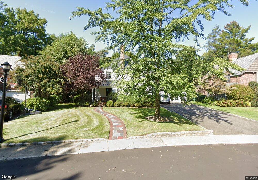
21 Bourndale Rd N Manhasset, NY 11030
Estimated Value: $1,764,751 - $1,899,000
Studio
3
Baths
2,854
Sq Ft
$642/Sq Ft
Est. Value
About This Home
This home is located at 21 Bourndale Rd N, Manhasset, NY 11030 and is currently estimated at $1,831,876, approximately $641 per square foot. 21 Bourndale Rd N is a home located in Nassau County with nearby schools including Manhasset Secondary School, St Mary's Elementary School, and Our Lady of Grace Montessori School.
Ownership History
Date
Name
Owned For
Owner Type
Purchase Details
Closed on
Mar 30, 1999
Sold by
Cannon Theodore
Bought by
Creem Stephen and Creem Juliana
Current Estimated Value
Purchase Details
Closed on
Aug 27, 1996
Sold by
Okun Linda
Bought by
Cannon Theodore
Home Financials for this Owner
Home Financials are based on the most recent Mortgage that was taken out on this home.
Original Mortgage
$392,000
Interest Rate
8.18%
Create a Home Valuation Report for This Property
The Home Valuation Report is an in-depth analysis detailing your home's value as well as a comparison with similar homes in the area
Home Values in the Area
Average Home Value in this Area
Purchase History
| Date | Buyer | Sale Price | Title Company |
|---|---|---|---|
| Creem Stephen | $575,000 | -- | |
| Cannon Theodore | $490,000 | -- |
Source: Public Records
Mortgage History
| Date | Status | Borrower | Loan Amount |
|---|---|---|---|
| Previous Owner | Cannon Theodore | $392,000 |
Source: Public Records
Tax History
| Year | Tax Paid | Tax Assessment Tax Assessment Total Assessment is a certain percentage of the fair market value that is determined by local assessors to be the total taxable value of land and additions on the property. | Land | Improvement |
|---|---|---|---|---|
| 2025 | $15,915 | $1,158 | $465 | $693 |
| 2024 | $4,634 | $1,223 | $491 | $732 |
Source: Public Records
Map
Nearby Homes
- 64 Plandome Ct
- 88 Plandome Ct
- 54 Summit Dr
- 15 Gaynor Ave Unit 2H
- 145 Shore Rd
- 4 Kimson Ct
- 71 Beechwood Ave
- 1054 Plandome Rd
- 44 North Dr
- 42 Mora Ct
- 1270 Plandome Rd
- 305 Nassau Ave
- 2 Stonytown Rd
- 300 Thompson Shore Rd
- 320 E Shore Rd Unit 6B
- 320 E Shore Rd Unit 10C
- 320 E Shore Rd Unit C
- 320 E Shore Rd Unit 4C
- 320 E Shore Rd Unit 11b
- 320 E Shore Rd Unit 2-A
- 27 Bourndale Rd N
- 15 Bourndale Rd N
- 35 Bourndale Rd N
- 20 Bourndale Rd N
- 28 Plandome Ct
- 41 Bourndale Rd N
- 10 Bourndale Rd N
- 718 Plandome Rd
- 750 Plandome Rd
- 2 Heights Rd
- 47 Chester Dr
- 668 Plandome Rd
- 47 Bourndale Rd N
- 47 N Bourndale Rd
- 46 Bourndale Rd N
- 37 Chester Dr
- 55 Bourndale Rd N
- 656 Plandome Rd
- 755 Plandome Rd
- 54 Bourndale Rd N
Your Personal Tour Guide
Ask me questions while you tour the home.