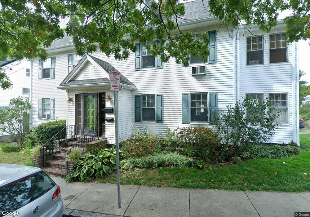
21 Bourne St Unit 1 Jamaica Plain, MA 02130
Fields Corner West NeighborhoodEstimated Value: $677,000 - $746,000
3
Beds
1
Bath
1,360
Sq Ft
$527/Sq Ft
Est. Value
About This Home
This home is located at 21 Bourne St Unit 1, Jamaica Plain, MA 02130 and is currently estimated at $716,503, approximately $526 per square foot. 21 Bourne St Unit 1 is a home located in Suffolk County with nearby schools including Codman Academy Charter Public School, Neighborhood House Charter School, and Helen Y. Davis Leadership Academy Charter Public School.
Ownership History
Date
Name
Owned For
Owner Type
Purchase Details
Closed on
Jan 20, 1999
Sold by
Friend Gwen and Plinkett John C
Bought by
Netos Helen P and Erdman William E
Current Estimated Value
Home Financials for this Owner
Home Financials are based on the most recent Mortgage that was taken out on this home.
Original Mortgage
$132,800
Outstanding Balance
$30,643
Interest Rate
6.7%
Mortgage Type
Purchase Money Mortgage
Estimated Equity
$685,860
Create a Home Valuation Report for This Property
The Home Valuation Report is an in-depth analysis detailing your home's value as well as a comparison with similar homes in the area
Home Values in the Area
Average Home Value in this Area
Purchase History
| Date | Buyer | Sale Price | Title Company |
|---|---|---|---|
| Netos Helen P | $166,000 | -- |
Source: Public Records
Mortgage History
| Date | Status | Borrower | Loan Amount |
|---|---|---|---|
| Open | Netos Helen P | $132,800 |
Source: Public Records
Tax History Compared to Growth
Tax History
| Year | Tax Paid | Tax Assessment Tax Assessment Total Assessment is a certain percentage of the fair market value that is determined by local assessors to be the total taxable value of land and additions on the property. | Land | Improvement |
|---|---|---|---|---|
| 2025 | $7,848 | $677,700 | $0 | $677,700 |
| 2024 | $6,554 | $601,300 | $0 | $601,300 |
| 2023 | $6,149 | $572,500 | $0 | $572,500 |
| 2022 | $5,876 | $540,100 | $0 | $540,100 |
| 2021 | $5,488 | $514,300 | $0 | $514,300 |
| 2020 | $5,652 | $535,200 | $0 | $535,200 |
| 2019 | $5,423 | $514,500 | $0 | $514,500 |
| 2018 | $5,235 | $499,500 | $0 | $499,500 |
| 2017 | $4,991 | $471,300 | $0 | $471,300 |
| 2016 | $4,846 | $440,500 | $0 | $440,500 |
| 2015 | $4,394 | $362,800 | $0 | $362,800 |
| 2014 | $4,305 | $342,200 | $0 | $342,200 |
Source: Public Records
Map
Nearby Homes
- 1613 Dorchester Ave Unit 1
- 15 Mather St
- 20 Parkman St Unit 2
- 28 Dix St Unit 3
- 34 Dix St Unit 3
- 32 Gibson St Unit 3
- 23 Tonawanda St
- 17 Lafield St Unit 2
- 334 Centre St Unit 101
- 334 Centre St Unit 2
- 19 Nixon St
- 20 Leslie St
- 24 Alpha Rd Unit 1
- 57 Mather St
- 49 Alpha Rd
- 113 Dakota St
- 31 Tremlett St
- 28 Melville Ave
- 381 Adams St Unit 2
- 381 Adams St Unit 1
- 21 Bourne St Unit 2
- 35 Paisley Park
- 31 Paisley Park
- 27 Bourneside St
- 27 Bourneside St Unit 1
- 27 Paisley Park
- 31 Bourneside St
- 18 Paisley Park
- 20 Paisley Park
- 20 Paisley Park Unit 2
- 14 Centervale Park
- 16 Paisley Park
- 21 Paisley Park
- 21 Paisley Park Unit 1
- 14 Paisley Park
- 12 Centervale Park
- 19 Paisley Park Unit B
- 19 Paisley Park Unit A
- 12 Paisley Park
- 230 Park St