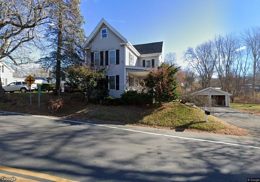
21 Bridge Rd Unit 1 Salisbury, MA 01952
Estimated Value: $553,000 - $739,000
5
Beds
2
Baths
2,800
Sq Ft
$227/Sq Ft
Est. Value
About This Home
This home is located at 21 Bridge Rd Unit 1, Salisbury, MA 01952 and is currently estimated at $636,976, approximately $227 per square foot. 21 Bridge Rd Unit 1 is a home located in Essex County with nearby schools including Triton Regional High School, River Valley Charter School, and Immaculate Conception School.
Ownership History
Date
Name
Owned For
Owner Type
Purchase Details
Closed on
Aug 25, 2006
Sold by
Cristaldi Anna L and Cristaldi Carol
Bought by
Pereira Luisa F and Pereira Leonel R
Current Estimated Value
Home Financials for this Owner
Home Financials are based on the most recent Mortgage that was taken out on this home.
Original Mortgage
$144,000
Outstanding Balance
$87,229
Interest Rate
6.83%
Mortgage Type
Purchase Money Mortgage
Estimated Equity
$549,747
Create a Home Valuation Report for This Property
The Home Valuation Report is an in-depth analysis detailing your home's value as well as a comparison with similar homes in the area
Home Values in the Area
Average Home Value in this Area
Purchase History
| Date | Buyer | Sale Price | Title Company |
|---|---|---|---|
| Pereira Luisa F | $180,000 | -- |
Source: Public Records
Mortgage History
| Date | Status | Borrower | Loan Amount |
|---|---|---|---|
| Open | Pereira Luisa F | $144,000 | |
| Previous Owner | Pereira Luisa F | $77,864 |
Source: Public Records
Tax History Compared to Growth
Tax History
| Year | Tax Paid | Tax Assessment Tax Assessment Total Assessment is a certain percentage of the fair market value that is determined by local assessors to be the total taxable value of land and additions on the property. | Land | Improvement |
|---|---|---|---|---|
| 2025 | $3,937 | $390,600 | $162,300 | $228,300 |
| 2024 | $3,967 | $379,600 | $162,300 | $217,300 |
| 2023 | $3,951 | $365,800 | $162,300 | $203,500 |
| 2022 | $3,663 | $328,800 | $146,100 | $182,700 |
| 2021 | $2,670 | $237,100 | $146,100 | $91,000 |
| 2020 | $2,680 | $233,900 | $146,100 | $87,800 |
| 2019 | $2,645 | $223,000 | $142,000 | $81,000 |
| 2018 | $2,454 | $208,300 | $131,000 | $77,300 |
| 2017 | $2,298 | $192,800 | $121,800 | $71,000 |
| 2016 | $2,202 | $188,700 | $117,700 | $71,000 |
| 2015 | $2,122 | $180,600 | $109,600 | $71,000 |
Source: Public Records
Map
Nearby Homes
- 16 Mudnock Rd
- 48 Beach Rd Unit A
- 48 Beach Rd Unit C
- 3 Lighthouse Cir Unit A
- 8 Meadowview Ln Unit B
- 27 True Rd Unit 2
- 105 Forest Rd
- 86 Ferry Rd
- 34 Dock Ln
- 12 Baker Rd
- 7 Palis Dr
- 127 Beach Rd
- 9 Partridge Ln Unit A
- 14 Partridge Ln Unit C
- 135 Beach Rd Unit B114
- 135 Beach Rd Unit B308
- 135 Beach Rd Unit B312
- 135 Beach Rd Unit B306
- 84 Forest Rd
- 3 Adams St