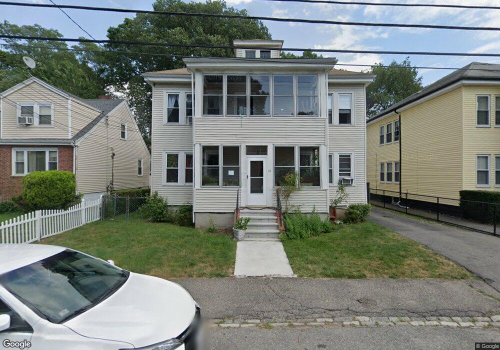
21 Brockton St Mattapan, MA 02126
Southern Mattapan NeighborhoodEstimated Value: $694,901 - $863,000
4
Beds
2
Baths
2,964
Sq Ft
$268/Sq Ft
Est. Value
About This Home
This home is located at 21 Brockton St, Mattapan, MA 02126 and is currently estimated at $795,225, approximately $268 per square foot. 21 Brockton St is a home located in Suffolk County with nearby schools including KIPP Academy Boston Charter School and Berea Seventh-day Adventist Academy.
Ownership History
Date
Name
Owned For
Owner Type
Purchase Details
Closed on
Apr 29, 2015
Sold by
Sabby Ft
Bought by
Sabby Rosemary and Al-Dajani Shadia M
Current Estimated Value
Create a Home Valuation Report for This Property
The Home Valuation Report is an in-depth analysis detailing your home's value as well as a comparison with similar homes in the area
Home Values in the Area
Average Home Value in this Area
Purchase History
| Date | Buyer | Sale Price | Title Company |
|---|---|---|---|
| Sabby Rosemary | -- | -- |
Source: Public Records
Tax History Compared to Growth
Tax History
| Year | Tax Paid | Tax Assessment Tax Assessment Total Assessment is a certain percentage of the fair market value that is determined by local assessors to be the total taxable value of land and additions on the property. | Land | Improvement |
|---|---|---|---|---|
| 2025 | $6,429 | $555,200 | $213,600 | $341,600 |
| 2024 | $6,201 | $568,900 | $190,300 | $378,600 |
| 2023 | $5,763 | $536,600 | $179,500 | $357,100 |
| 2022 | $5,838 | $536,600 | $179,500 | $357,100 |
| 2021 | $5,206 | $487,900 | $163,200 | $324,700 |
| 2020 | $4,495 | $425,700 | $157,100 | $268,600 |
| 2019 | $4,156 | $394,300 | $113,600 | $280,700 |
| 2018 | $3,691 | $352,200 | $113,600 | $238,600 |
| 2017 | $3,590 | $339,000 | $113,600 | $225,400 |
| 2016 | $3,389 | $308,100 | $113,600 | $194,500 |
| 2015 | $3,341 | $275,900 | $112,700 | $163,200 |
| 2014 | $3,214 | $255,500 | $112,700 | $142,800 |
Source: Public Records
Map
Nearby Homes
- 10 Brockton St
- 95 Woodhaven St
- 770 Cummins Hwy Unit 1
- 770 Cummins Hwy Unit 22
- 839-843 Cummins Hwy
- 48-50 Rockdale St
- 231 Itasca St
- 90 Hollingsworth St
- 1465 Blue Hill Ave
- 20 Monterey Ave
- 100 Itasca St
- 60 and 64 Monterey Ave
- 116 Almont St
- 23 Caton St
- 12 Hiawatha Rd
- 34 Ridlon Rd
- 4 Crossman St Unit 4
- 645 River St
- 11 French St
- 14-14R Kennebec St
- 23 Brockton St
- 19 Brockton St
- 19 Brockton St Unit 1
- 17 Brockton St
- 25 Brockton St
- 105 Woodhaven St
- 103 Woodhaven St
- 15 Brockton St
- 111 Woodhaven St
- 101 Woodhaven St
- 20 Brockton St
- 22 Brockton St
- 27 Brockton St
- 16 Brockton St
- 9 Brockton St
- 99 Woodhaven St
- 113 Woodhaven St
- 26 Brockton St
- 14 Brockton St
- 31 Brockton St