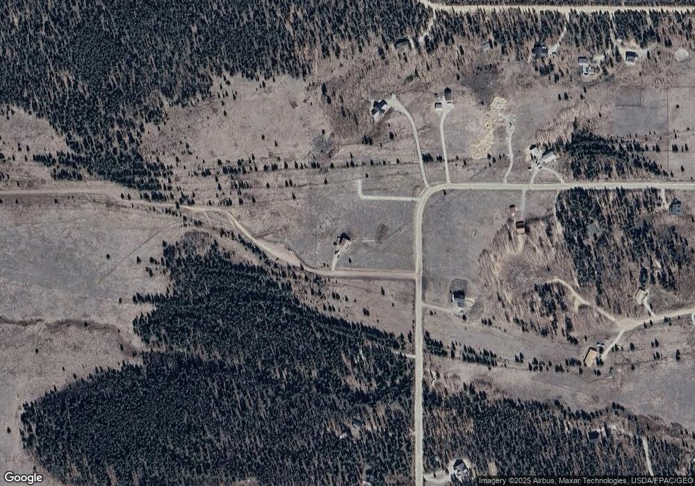
21 Brome Ct Fairplay, CO 80440
Estimated Value: $684,452 - $774,000
3
Beds
3
Baths
1,720
Sq Ft
$420/Sq Ft
Est. Value
About This Home
This home is located at 21 Brome Ct, Fairplay, CO 80440 and is currently estimated at $722,613, approximately $420 per square foot. 21 Brome Ct is a home with nearby schools including Edith Teter Elementary School, South Park Middle School, and South Park High School.
Ownership History
Date
Name
Owned For
Owner Type
Purchase Details
Closed on
Oct 25, 2018
Sold by
Mauch James R and Watkins Margaret B
Bought by
Mauch James Ralph and Watkins Margaret Baird
Current Estimated Value
Purchase Details
Closed on
Dec 5, 2013
Sold by
Mauch James Ralph and Watkins Margaret Baird
Bought by
Mauch James R and Watkins Margaret B
Home Financials for this Owner
Home Financials are based on the most recent Mortgage that was taken out on this home.
Original Mortgage
$180,000
Interest Rate
4.17%
Mortgage Type
New Conventional
Create a Home Valuation Report for This Property
The Home Valuation Report is an in-depth analysis detailing your home's value as well as a comparison with similar homes in the area
Home Values in the Area
Average Home Value in this Area
Purchase History
| Date | Buyer | Sale Price | Title Company |
|---|---|---|---|
| Mauch James Ralph | -- | None Available | |
| Mauch James R | -- | Land Title Guarantee Company |
Source: Public Records
Mortgage History
| Date | Status | Borrower | Loan Amount |
|---|---|---|---|
| Closed | Mauch James R | $180,000 |
Source: Public Records
Tax History Compared to Growth
Tax History
| Year | Tax Paid | Tax Assessment Tax Assessment Total Assessment is a certain percentage of the fair market value that is determined by local assessors to be the total taxable value of land and additions on the property. | Land | Improvement |
|---|---|---|---|---|
| 2024 | $2,722 | $44,780 | $4,380 | $40,400 |
| 2023 | $2,722 | $44,780 | $4,380 | $40,400 |
| 2022 | $1,571 | $24,546 | $2,668 | $21,878 |
| 2021 | $1,536 | $25,260 | $2,750 | $22,510 |
| 2020 | $1,267 | $20,180 | $2,560 | $17,620 |
| 2019 | $1,227 | $20,180 | $2,560 | $17,620 |
| 2018 | $1,130 | $20,180 | $2,560 | $17,620 |
| 2017 | $1,019 | $18,190 | $2,490 | $15,700 |
| 2016 | $1,120 | $20,660 | $3,480 | $17,180 |
| 2015 | $1,142 | $20,660 | $3,480 | $17,180 |
| 2014 | $1,117 | $0 | $0 | $0 |
Source: Public Records
Map
Nearby Homes
- 1110 Circle 73
- 1031 Bluestem Way
- 1224 Circle 73
- 364 Foxtail Dr
- 416 Foxtail Dr
- 622 Foxtail Dr
- 1430 Coil Dr
- 103 Foxtail Ct
- 133 Foxtail Ct
- 1957 Coil Dr Unit 118
- 1957 Coil Dr
- 0 Foxtail Ct Unit REC1607939
- 211 Foxtail Ct
- 237 Foxtail Ct
- 1954 Bluestem Way
- 16 Thurber Ct
- 0 Kens Rd
- 0 Thurber Ct Unit REC9916556
- 0 Coil Dr Unit 40 REC2912411
- 2567 Coil Dr
- 488 Bluestem Way
- 608 Bluestem Way
- 507 Bluestem Way Unit 92
- 507 Bluestem Way
- 495 Bluestem Ct
- 717 Bluestem Way
- 420 Bluestem Way
- 625 Circle 73
- 409 Bluestem Way
- 767 Bluestem Way
- 573 Circle 73
- 364 Bluestem Way
- 764 Bluestem Way
- 729 Circle 73
- 729 Circle 73
- 521 Circle 73
- 469 Circle 73
- 139 Bluestem Ct
- 314 Bluestem Way
- 135 Timothy Ct
