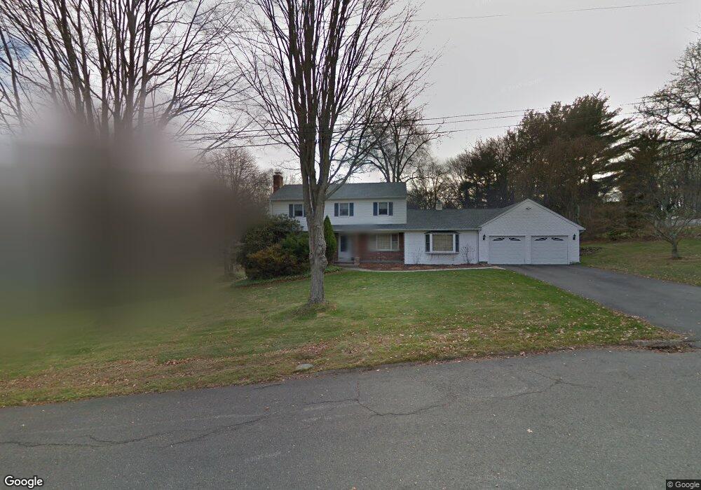
21 Brookhedge Rd Trumbull, CT 06611
Daniel Farm District NeighborhoodEstimated Value: $716,000 - $875,000
4
Beds
3
Baths
2,531
Sq Ft
$315/Sq Ft
Est. Value
About This Home
This home is located at 21 Brookhedge Rd, Trumbull, CT 06611 and is currently estimated at $798,046, approximately $315 per square foot. 21 Brookhedge Rd is a home located in Fairfield County with nearby schools including Daniels Farm School, Hillcrest Middle School, and Trumbull High School.
Ownership History
Date
Name
Owned For
Owner Type
Purchase Details
Closed on
Dec 16, 1991
Sold by
Fiordelisi Kenneth S and Fiordelisi Clelia
Bought by
Finger Steven D and Finger Linda A
Current Estimated Value
Create a Home Valuation Report for This Property
The Home Valuation Report is an in-depth analysis detailing your home's value as well as a comparison with similar homes in the area
Home Values in the Area
Average Home Value in this Area
Purchase History
| Date | Buyer | Sale Price | Title Company |
|---|---|---|---|
| Finger Steven D | $240,000 | -- |
Source: Public Records
Mortgage History
| Date | Status | Borrower | Loan Amount |
|---|---|---|---|
| Open | Finger Steven D | $360,000 | |
| Closed | Finger Steven D | $398,000 | |
| Closed | Finger Steven D | $417,000 | |
| Closed | Finger Steven D | $193,600 |
Source: Public Records
Tax History
| Year | Tax Paid | Tax Assessment Tax Assessment Total Assessment is a certain percentage of the fair market value that is determined by local assessors to be the total taxable value of land and additions on the property. | Land | Improvement |
|---|---|---|---|---|
| 2025 | $12,472 | $337,820 | $161,700 | $176,120 |
| 2024 | $12,131 | $337,820 | $161,700 | $176,120 |
| 2023 | $11,935 | $337,820 | $161,700 | $176,120 |
| 2022 | $11,744 | $337,820 | $161,700 | $176,120 |
| 2021 | $11,194 | $306,320 | $147,280 | $159,040 |
| 2020 | $10,982 | $306,320 | $147,280 | $159,040 |
| 2018 | $10,710 | $306,320 | $147,280 | $159,040 |
| 2017 | $10,495 | $306,320 | $147,280 | $159,040 |
| 2016 | $10,283 | $306,320 | $147,280 | $159,040 |
| 2015 | $10,552 | $310,700 | $147,300 | $163,400 |
| 2014 | $10,325 | $310,700 | $147,300 | $163,400 |
Source: Public Records
Map
Nearby Homes
- 2 Doe Hollow Dr
- 699 Daniels Farm Rd
- 176 Strobel Rd
- 43 Woodmere Dr
- 15 Glenarden Rd
- 244 Strobel Rd
- 184 Putting Green Rd
- 93 Putting Green Rd N
- 7 Hemlock Trail
- 35 Greenfield Dr
- 23 Federal Rd
- 121 Lewis Rd
- 0 Pinewood Trail
- 424 Waverly Rd
- 38 Macdonald Rd
- 23 Rolling Brook Ln
- 68 Old Dike Rd
- 2449 Huntington Turnpike
- 17 Moose Hill Rd
- 71 Cider Mill Ln
- 27 Brookhedge Rd
- 15 Brookside Dr
- 9 Brookhedge Rd
- 9 Brookside Dr
- 21 Brookside Dr
- 23 Old Stream Ln
- 22 Old Stream Ln
- 42 Clarion Place
- 5 Brookhedge Rd
- 48 Clarion Place
- 14 Old Stream Ln
- 8 Brookhedge Rd
- 34 Brookhedge Rd
- 8 Brookside Dr
- 20 Brookside Dr
- 34 Clarion Place
- 4 Brookhedge Rd
- 40 Brookhedge Rd
- 12 Brookside Dr
- 71 Country Club Rd
Your Personal Tour Guide
Ask me questions while you tour the home.