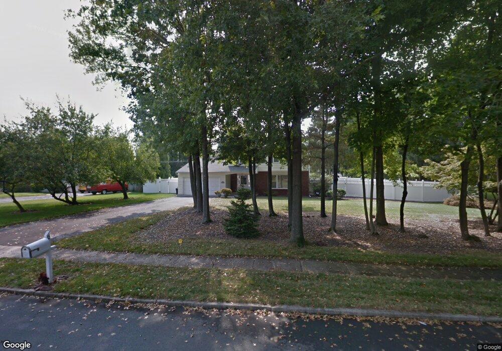
21 Brophy Dr Ewing, NJ 08638
Ewingville NeighborhoodEstimated Value: $521,000 - $664,000
4
Beds
3
Baths
1,948
Sq Ft
$302/Sq Ft
Est. Value
About This Home
This home is located at 21 Brophy Dr, Ewing, NJ 08638 and is currently estimated at $588,073, approximately $301 per square foot. 21 Brophy Dr is a home located in Mercer County with nearby schools including Ewing High School, Trenton Stem-To-Civics Charter School, and Guidepost Montessori at Lawrenceville.
Ownership History
Date
Name
Owned For
Owner Type
Purchase Details
Closed on
Sep 22, 2011
Sold by
Salvador Mike and Schlueter Kathleen
Bought by
Salvador Mike and Schlueter Kathleen
Current Estimated Value
Home Financials for this Owner
Home Financials are based on the most recent Mortgage that was taken out on this home.
Original Mortgage
$120,000
Outstanding Balance
$10,063
Interest Rate
3.44%
Mortgage Type
New Conventional
Estimated Equity
$578,010
Purchase Details
Closed on
Jul 31, 2008
Sold by
Mcintyre Brian J and Mcintyre Jennifer
Bought by
Salvador Mike and Schlueter Kathleen
Home Financials for this Owner
Home Financials are based on the most recent Mortgage that was taken out on this home.
Original Mortgage
$150,000
Interest Rate
6.4%
Mortgage Type
New Conventional
Purchase Details
Closed on
Jun 28, 2005
Sold by
Wolfe Gary
Bought by
Mcintyre Brian and Leyton Jennifer
Purchase Details
Closed on
Jun 19, 1993
Sold by
Wolf Gary F and Wolf Beverly S
Bought by
Wolfe Gary E
Create a Home Valuation Report for This Property
The Home Valuation Report is an in-depth analysis detailing your home's value as well as a comparison with similar homes in the area
Home Values in the Area
Average Home Value in this Area
Purchase History
| Date | Buyer | Sale Price | Title Company |
|---|---|---|---|
| Salvador Mike | -- | Kingston Title Agency | |
| Salvador Mike | $369,000 | -- | |
| Mcintyre Brian | $410,000 | -- | |
| Wolfe Gary E | $60,000 | -- |
Source: Public Records
Mortgage History
| Date | Status | Borrower | Loan Amount |
|---|---|---|---|
| Open | Salvador Mike | $120,000 | |
| Closed | Salvador Mike | $150,000 |
Source: Public Records
Tax History
| Year | Tax Paid | Tax Assessment Tax Assessment Total Assessment is a certain percentage of the fair market value that is determined by local assessors to be the total taxable value of land and additions on the property. | Land | Improvement |
|---|---|---|---|---|
| 2025 | $12,531 | $318,600 | $95,900 | $222,700 |
| 2024 | $11,779 | $318,600 | $95,900 | $222,700 |
| 2023 | $11,779 | $318,600 | $95,900 | $222,700 |
| 2022 | $11,460 | $318,600 | $95,900 | $222,700 |
| 2021 | $11,180 | $318,600 | $95,900 | $222,700 |
| 2020 | $8,817 | $254,900 | $95,900 | $159,000 |
| 2019 | $8,588 | $254,900 | $95,900 | $159,000 |
| 2018 | $8,657 | $163,900 | $61,300 | $102,600 |
| 2017 | $8,859 | $163,900 | $61,300 | $102,600 |
| 2016 | $8,904 | $167,000 | $61,300 | $105,700 |
| 2015 | $8,786 | $167,000 | $61,300 | $105,700 |
| 2014 | $8,762 | $167,000 | $61,300 | $105,700 |
Source: Public Records
Map
Nearby Homes
- 2 Sparrow Ct
- 6 Sparrow Ct
- 11 Metekunk Dr
- 34 Lopatcong Dr
- 2148 Pennington Rd
- 30 Upper Ferry Rd
- 108 Susan Dr
- 23 Voorhees Ct
- 19 van Saun Dr
- 18 Crest Ave
- 10 Howe Ct
- 20 Corey Dr
- 89 Upper Ferry Rd
- 200 Amberleigh Dr Unit 32H
- 8 Chicory Ln
- 4 Dorothea Terrace
- 4 David Dr
- 532 Timberlake Dr
- 632 Timberlake Dr
- 305 Deer Run Ct Unit C
Your Personal Tour Guide
Ask me questions while you tour the home.