21 Bucktail Ln Tunkhannock, PA 18657
Estimated Value: $264,000 - $409,000
5
Beds
3
Baths
3,768
Sq Ft
$96/Sq Ft
Est. Value
About This Home
This home is located at 21 Bucktail Ln, Tunkhannock, PA 18657 and is currently estimated at $362,249, approximately $96 per square foot. 21 Bucktail Ln is a home located in Wyoming County with nearby schools including Tunkhannock Middle School, Tunkhannock High School, and Endless Mountains Christian Academy.
Ownership History
Date
Name
Owned For
Owner Type
Purchase Details
Closed on
Nov 21, 2016
Sold by
Maloney Laureen M and Maloney Richard H
Bought by
Maloney Laureen M
Current Estimated Value
Home Financials for this Owner
Home Financials are based on the most recent Mortgage that was taken out on this home.
Original Mortgage
$151,404
Outstanding Balance
$123,245
Interest Rate
3.87%
Mortgage Type
FHA
Estimated Equity
$239,004
Purchase Details
Closed on
Jul 22, 2005
Sold by
Adams Thomas E and Adams Desara Jo
Bought by
Maloney Richard E and Maloney Laureen M
Create a Home Valuation Report for This Property
The Home Valuation Report is an in-depth analysis detailing your home's value as well as a comparison with similar homes in the area
Home Values in the Area
Average Home Value in this Area
Purchase History
| Date | Buyer | Sale Price | Title Company |
|---|---|---|---|
| Maloney Laureen M | $93,696 | None Available | |
| Maloney Richard E | $205,000 | None Available |
Source: Public Records
Mortgage History
| Date | Status | Borrower | Loan Amount |
|---|---|---|---|
| Open | Maloney Laureen M | $151,404 |
Source: Public Records
Tax History Compared to Growth
Tax History
| Year | Tax Paid | Tax Assessment Tax Assessment Total Assessment is a certain percentage of the fair market value that is determined by local assessors to be the total taxable value of land and additions on the property. | Land | Improvement |
|---|---|---|---|---|
| 2025 | $6,404 | $55,280 | $2,700 | $52,580 |
| 2024 | $6,404 | $55,280 | $2,700 | $52,580 |
| 2023 | $6,349 | $55,280 | $2,700 | $52,580 |
| 2022 | $6,266 | $55,280 | $2,700 | $52,580 |
| 2021 | $6,128 | $55,280 | $2,700 | $52,580 |
| 2020 | $6,128 | $55,280 | $2,700 | $52,580 |
| 2019 | $6,017 | $55,280 | $2,700 | $52,580 |
| 2018 | $5,824 | $55,280 | $2,700 | $52,580 |
| 2017 | $5,741 | $0 | $0 | $0 |
| 2016 | -- | $0 | $0 | $0 |
| 2015 | -- | $0 | $0 | $0 |
| 2014 | -- | $0 | $0 | $0 |
Source: Public Records
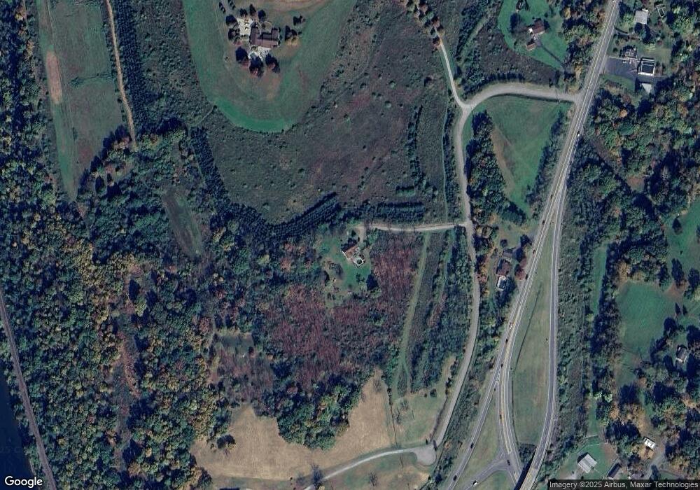
Map
Nearby Homes
- 1 Ford Dr
- 55 Margrow Rd
- 21 Wyoming Ave
- 0 Dark Hollow Rd Unit GSBSC255658
- 13 Reed St
- 5 E Harrison St
- 5 Fieldcrest Dr
- 150 Grandview Dr
- 148 Grandview Dr
- 1 Sullivan St
- 7 Doran Dr
- 28 Pine St
- 9 Doran Dr
- 43 1/2 Mccord St
- 425 Woodland Way
- 40 Winola Ave
- 226 Village View Dr
- 7 Hollow Crest Rd
- 24 Benson Hollow Ln
- 819 Hunter Hwy