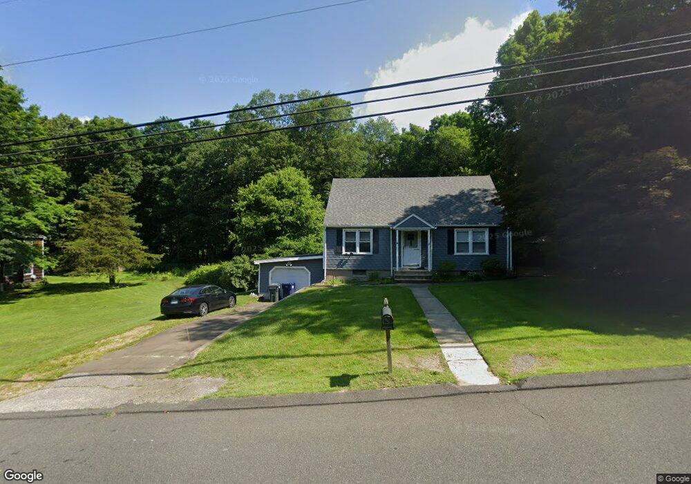
21 Bunting Rd Seymour, CT 06483
Estimated Value: $366,549 - $389,000
4
Beds
1
Bath
1,323
Sq Ft
$283/Sq Ft
Est. Value
About This Home
This home is located at 21 Bunting Rd, Seymour, CT 06483 and is currently estimated at $373,887, approximately $282 per square foot. 21 Bunting Rd is a home located in New Haven County with nearby schools including Seymour Middle School, Seymour High School, and Assumption School.
Ownership History
Date
Name
Owned For
Owner Type
Purchase Details
Closed on
Apr 9, 2014
Sold by
Glenn Derek E
Bought by
Glenn Melanie R
Current Estimated Value
Purchase Details
Closed on
Jul 11, 2001
Sold by
Dluhy Leslie and Agostini Irene
Bought by
Glenn Derek E and Glenn Melanie
Home Financials for this Owner
Home Financials are based on the most recent Mortgage that was taken out on this home.
Original Mortgage
$90,000
Interest Rate
6.88%
Create a Home Valuation Report for This Property
The Home Valuation Report is an in-depth analysis detailing your home's value as well as a comparison with similar homes in the area
Home Values in the Area
Average Home Value in this Area
Purchase History
| Date | Buyer | Sale Price | Title Company |
|---|---|---|---|
| Glenn Melanie R | -- | -- | |
| Glenn Derek E | $80,000 | -- |
Source: Public Records
Mortgage History
| Date | Status | Borrower | Loan Amount |
|---|---|---|---|
| Previous Owner | Glenn Derek E | $51,901 | |
| Previous Owner | Glenn Derek E | $30,300 | |
| Previous Owner | Glenn Derek E | $137,000 | |
| Previous Owner | Glenn Derek E | $90,000 |
Source: Public Records
Tax History
| Year | Tax Paid | Tax Assessment Tax Assessment Total Assessment is a certain percentage of the fair market value that is determined by local assessors to be the total taxable value of land and additions on the property. | Land | Improvement |
|---|---|---|---|---|
| 2025 | $5,658 | $204,120 | $51,030 | $153,090 |
| 2024 | $5,769 | $156,590 | $40,530 | $116,060 |
| 2023 | $5,634 | $156,590 | $40,530 | $116,060 |
| 2022 | $5,573 | $156,590 | $40,530 | $116,060 |
| 2021 | $5,435 | $156,590 | $40,530 | $116,060 |
| 2020 | $4,667 | $129,640 | $47,670 | $81,970 |
| 2019 | $4,667 | $129,640 | $47,670 | $81,970 |
| 2018 | $4,667 | $129,640 | $47,670 | $81,970 |
| 2017 | $4,667 | $129,640 | $47,670 | $81,970 |
| 2016 | $4,667 | $129,640 | $47,670 | $81,970 |
| 2015 | $4,622 | $133,630 | $45,570 | $88,060 |
| 2014 | $4,549 | $133,630 | $45,570 | $88,060 |
Source: Public Records
Map
Nearby Homes
- 14 Tulip Dr Unit D
- 18 Tulip Dr Unit A
- 12 Red Oak Ln
- 9 Fox Run Ln
- 17-23 Meadow St
- 35 Cogwheel Ln
- 26 Stoddard St
- 19 Donna St
- 12 Susan St
- 17 Grand St
- 32 George St
- 9 Lakeview Rise Unit 9
- 26 Union St
- 53-55 Maple St
- 11 Lantern Ridge Rd
- 22 Emerald Ln
- 3 Willow St
- 51 Elderslie Ln
- 8 Woodland Path Unit 8
- 68 New St
Your Personal Tour Guide
Ask me questions while you tour the home.